
Postcodes Collection
Postcodes play a vital role in our everyday lives, ensuring efficient mail delivery and helping us navigate through the vast expanse of the United Kingdom


All Professionally Made to Order for Quick Shipping
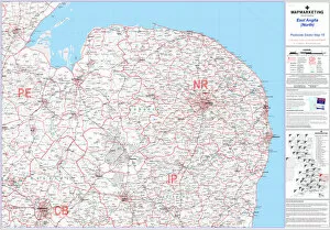
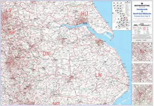
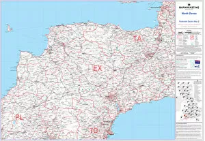
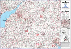
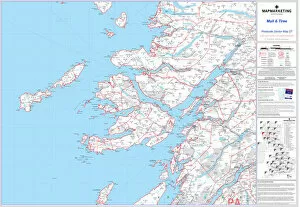
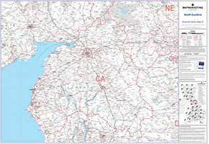
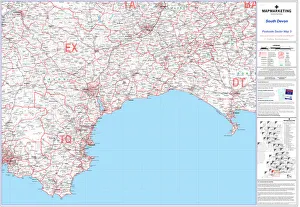
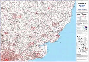
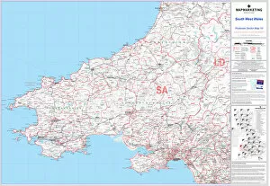
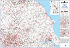
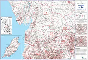
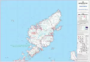
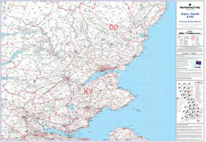
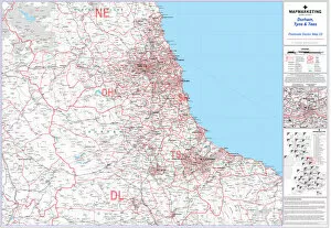
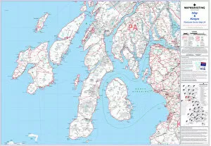
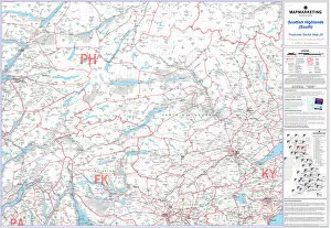
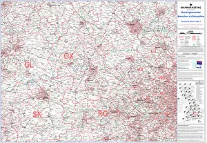
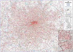
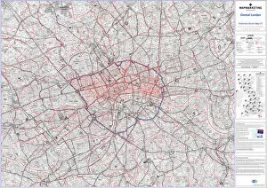
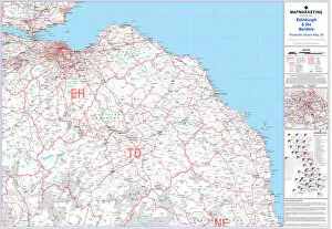
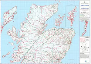
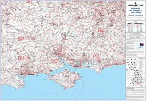
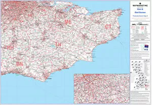
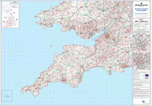
Postcodes play a vital role in our everyday lives, ensuring efficient mail delivery and helping us navigate through the vast expanse of the United Kingdom. From Postcode Sector Map sheet 15 East Anglia (North) to Postcode Sector Map sheet 18 Humberside and North East Midlands, these alphanumeric codes help organize regions into manageable units. In Northern England, as depicted on Postcode District Map sheet 4, postcodes divide the area into distinct districts for streamlined postal services. Similarly, in South East England and Midlands, shown on Postcode District Map sheet 2, postcodes aid in identifying specific locations within this bustling region. Zooming in further reveals the intricacies of postcode sectors. For instance, on Postcode Sector Map sheet 2 North Devon or Postcode Sector Map sheet 14 East Midlands, these sectors provide even more precise information about localities within larger areas. Moving southwest to Avon and Wiltshire showcased on Postcode Sector Map sheet 6 or venturing northwards towards Mull and Tiree illustrated by Postcode Sector Map Sheet 27 highlights how postcodes facilitate accurate deliveries across diverse landscapes. Even remote regions like North Cumbria featured on Postcode Sector Map Sheet 21 benefit from this system by enabling prompt service to residents residing there. Meanwhile, down south in South Devon portrayed on Postcode Sector map Sheet 3 or exploring further east towards East Anglia (South) displayed on Sheet number nine ensures that no corner is left unaddressed and can not limited to mainland UK alone; they extend their reach to encompass territories such as South West Wales exhibited by its own dedicated sector map - Sheet number ten. This inclusivity showcases how postcodes transcend geographical boundaries while maintaining efficiency throughout various regions. So next time you receive a letter or package at your doorstep with an accurately placed postcode label affixed firmly upon it – take a moment to appreciate the intricate web of organization that ensures seamless delivery across the nation.