
Poes Collection
"Exploring the Beauty of Poes: A Captivating Journey Around Our Blue Marble" Embark on a mesmerizing journey as we delve into the enchanting world of poes


All Professionally Made to Order for Quick Shipping
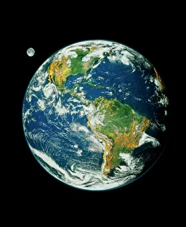
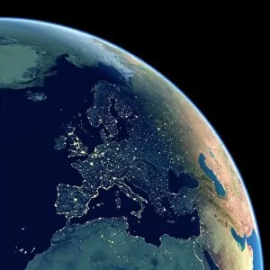
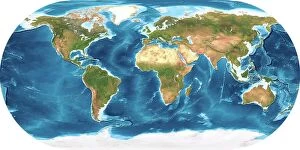
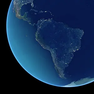
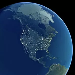
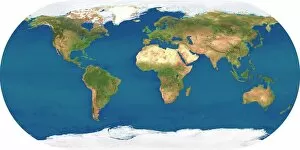
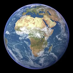
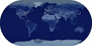
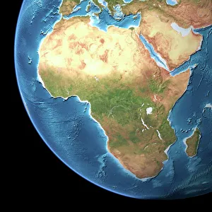
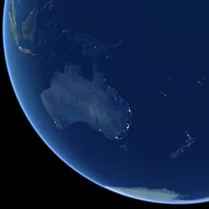
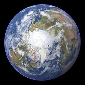
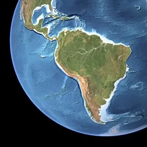
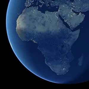
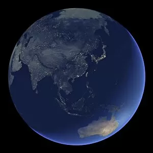
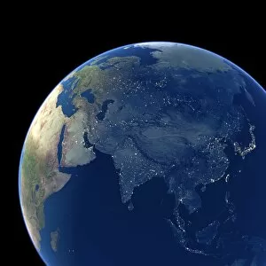
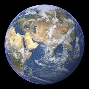
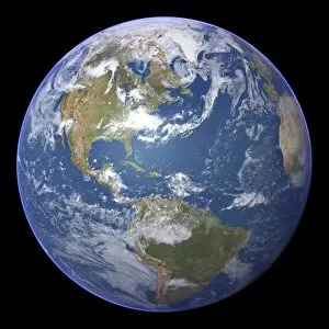
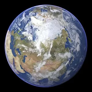
"Exploring the Beauty of Poes: A Captivating Journey Around Our Blue Marble" Embark on a mesmerizing journey as we delve into the enchanting world of poes, capturing its allure from various angles. Starting with the iconic Whole Earth image, also known as the Blue Marble 2000, we witness our planet's breathtaking beauty in all its glory. From Earth's topographic and bathymetric map, we uncover hidden wonders lurking beneath vast oceans and towering mountains. As night falls over Europe, South America, and North America, satellite images illuminate these continents like shimmering jewels against a dark canvas. Returning to an awe-inspiring view of our entire planet at night, we marvel at how human civilization lights up even the darkest corners. The Whole Earth satellite image reminds us of our interconnectedness across borders and continents. Zooming in closer to Africa through another captivating satellite image reveals its diverse landscapes teeming with life. From lush rainforests to expansive deserts, this continent holds untold stories waiting to be discovered. Once again zooming out for a panoramic view of our whole planet from space leaves us humbled by its sheer magnitude. We realize that amidst all our differences and boundaries, we share this fragile blue dot floating in the vast expanse of space. Examining Africa through a topographic map showcases its intricate terrain - majestic mountain ranges intertwine with sprawling savannahs and winding rivers. This visual feast highlights nature's artistry on display throughout this remarkable continent. As darkness blankets Australia in yet another striking satellite image taken at nightfall, it unveils an otherworldly landscape dotted with twinkling city lights amidst vast stretches of uninhabited wilderness. A testament to both human ingenuity and nature's resilience. Finally returning to North America through a stunning satellite image allows us to appreciate its diverse landscapes - from snow-capped peaks to sweeping plains; bustling cities juxtaposed against serene lakeshores. This continent embodies the spirit of exploration and opportunity.