
Plate Tectonics Collection
Plate tectonics, the fascinating process responsible for shaping our Earth's surface over millions of years


All Professionally Made to Order for Quick Shipping
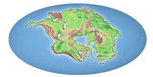
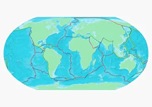
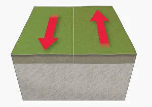
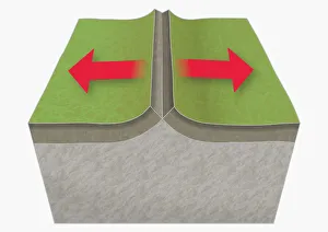
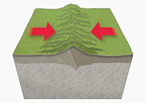
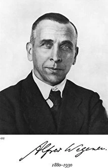
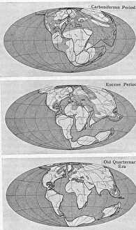
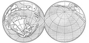
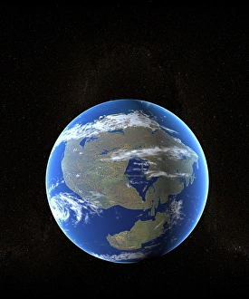
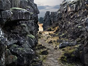
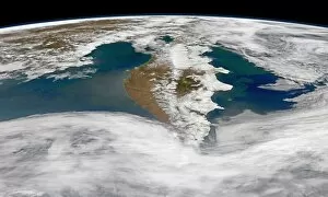
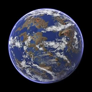
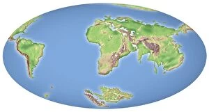
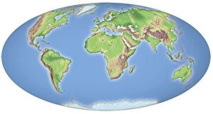
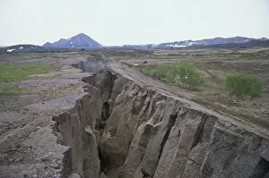
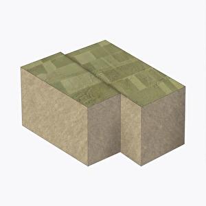
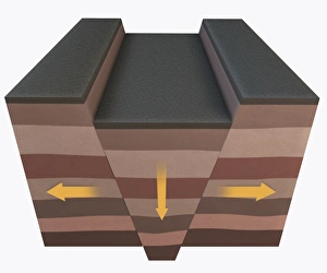
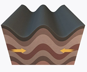
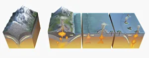
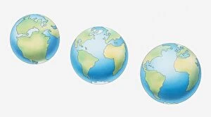
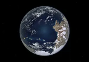
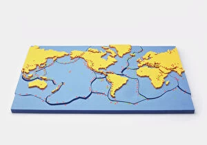
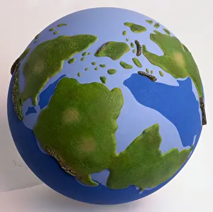
Plate tectonics, the fascinating process responsible for shaping our Earth's surface over millions of years. Continental drift after 250 million years has transformed our planet into what we see today. A map of the world with lines marking boundaries of tectonic plates reveals the intricate puzzle-like nature of these massive slabs beneath us. Traveling back in time, continental drift 100 million years ago showcases how landmasses have shifted and rearranged themselves throughout history. Witnessing tectonic plates moving apart at divergent boundaries is truly awe-inspiring. The creation of new crust as magma rises to fill the gap leaves a lasting impression on our dynamic planet. Conversely, when these colossal plates collide at convergent boundaries, mountains rise majestically from their powerful collision. Transform boundaries demonstrate another facet as they showcase plates sliding past each other horizontally. This lateral movement can result in earthquakes that remind us of the immense forces constantly reshaping our world. Alfred Lothar Wegener, a German geophysicist and meteorologist, introduced his groundbreaking Theory of Continental Drift in 1922. His theory challenged conventional wisdom and sparked a revolution in understanding Earth's geological processes. Accompanied by diagrams depicting Earth during the Carboniferous period and Pangea, we gain insight into ancient landscapes that existed long before humanity walked this earth. The illustration capturing an earthquake serves as a stark reminder that they can not just historical events but ongoing phenomena with real-world consequences for those living near fault lines. Intricate and ever-changing, plate tectonics continue to shape our world—unveiling both its beauty and power while reminding us of its constant evolution through time.