
Plans Collection
"Unveiling the Blueprint of History: Tracing the Grand Plans of Empires, Battles, and Cities" Step into a world where plans shape destinies and visions become reality


All Professionally Made to Order for Quick Shipping
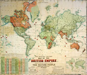
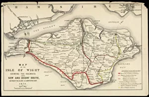
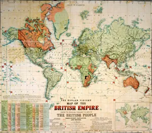
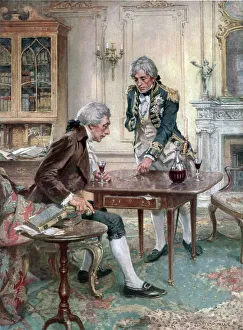
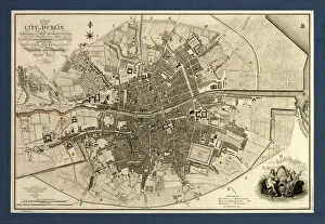
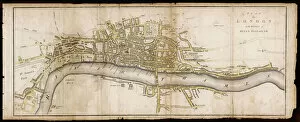
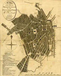
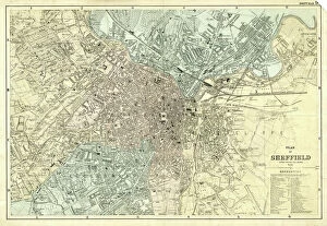
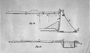
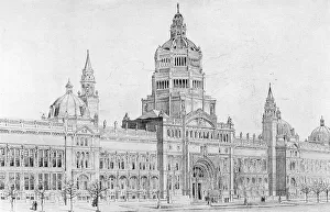
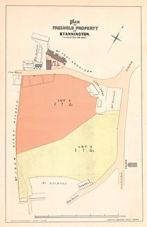
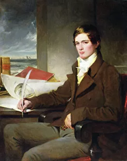
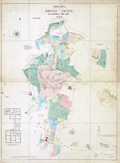
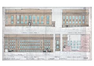
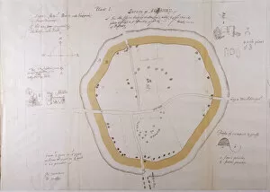
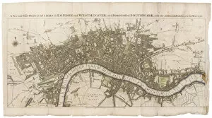
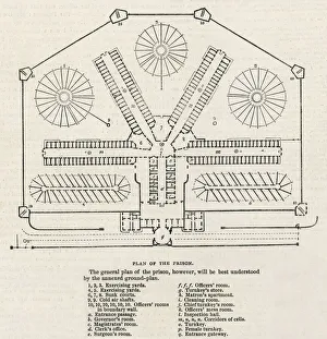
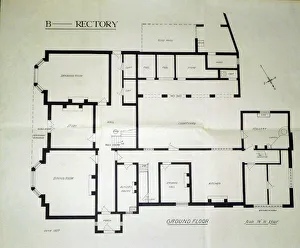
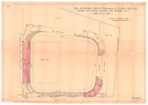
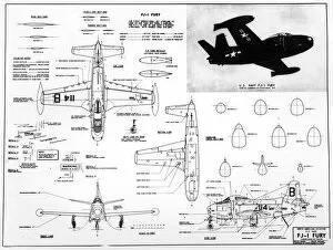
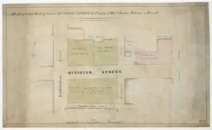
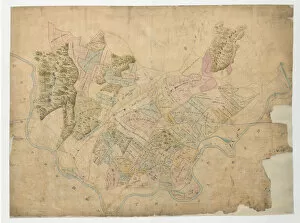
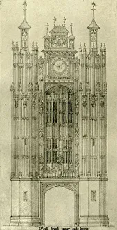
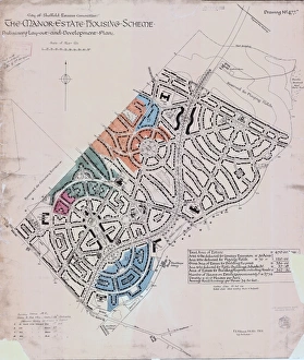
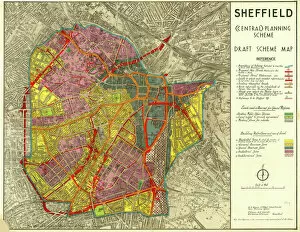
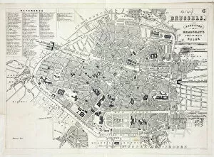
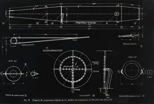
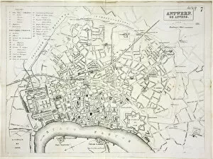
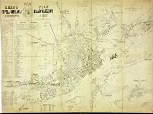
"Unveiling the Blueprint of History: Tracing the Grand Plans of Empires, Battles, and Cities" Step into a world where plans shape destinies and visions become reality. Explore the intricate maps that once defined the vast British Empire, tracing its boundaries across continents. Witness Admiral Nelson's meticulous battle plans for Trafalgar in 1805, revealing his strategic genius etched on parchment. Journey to the Isle of Wight as you unravel a detailed plan from 1797, showcasing Sheffield's charming town layout meticulously drawn by W. Fairbank and engraved by Thomas Harris. Marvel at another rendition capturing Sheffield's evolution between 1870-1905, offering glimpses into its vibrant past. Delve into Dublin's rich history through an exquisite map from 1797; let it transport you to cobblestone streets echoing with tales of resilience and triumph. Admire a captivating portrait of a young gentleman painted with precision on canvas—a testament to artistic planning that immortalizes beauty through time. Immerse yourself in Elizabethan London, where grand designs shaped one of history's most iconic cities—its architectural marvels still standing tall today. Discover the ingenious bouncing bomb blueprint that revolutionized warfare during World War II—an audacious plan brought to life with extraordinary engineering prowess. Marvel at London's Victoria and Albert Museum—Aston Webb Front—a masterpiece born out of meticulous planning blending elegance with functionality. Gaze upon Surrey Street's New Central Library and Art Gallery building elevations from around 1930—a glimpse into architectural dreams realized amidst changing times. In this captivating journey through time and space, witness how they have shaped our world—defining empires, battles won or lost, cityscapes transformed—and ponder their enduring legacy on our present-day existence.