
Patina Collection
"Journey through Time: Exploring the Patina of Maps" Step into a world where history unfolds, as we delve into the captivating patina of antique maps


All Professionally Made to Order for Quick Shipping
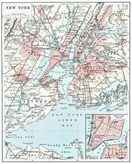
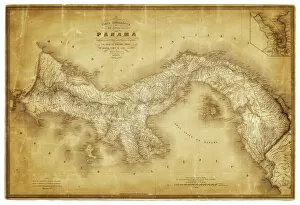
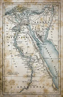
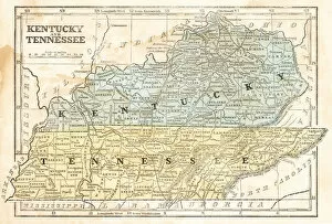
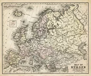
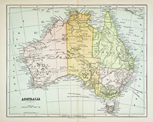
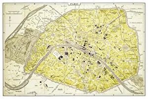
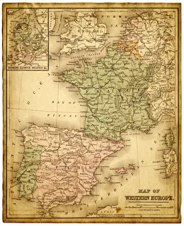
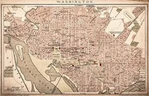
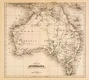
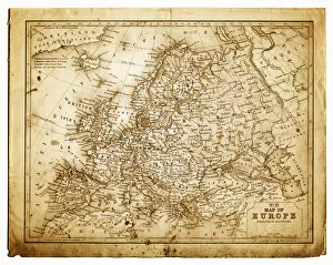
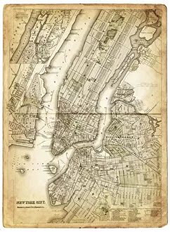
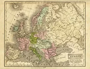
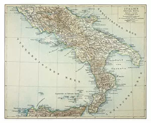
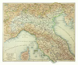
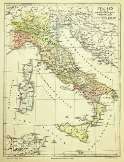
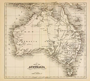
"Journey through Time: Exploring the Patina of Maps" Step into a world where history unfolds, as we delve into the captivating patina of antique maps. These cartographic treasures hold stories etched on their weathered surfaces, transporting us to bygone eras and distant lands. Embark on an adventure across continents with a Map of Egypt, tracing ancient civilizations that have left indelible imprints on humanity's collective memory. Feel the weight of time as you navigate through bustling streets and towering skyscrapers with a Map of New York City from 1896, witnessing the birth of a metropolis. Travel back to an era when Kentucky and Tennessee were still shaping their identities with a Map from 1855. Discover how these states evolved amidst changing landscapes and cultural dynamics. Explore uncharted territories Down Under with a Map of Australia and New Zealand from 1856, marveling at vast expanses waiting to be explored. Uncover the historical significance behind Panama's strategic location as you peruse a Map dating back to 1864. Witness Texas' transformation over time through two distinct maps - one from 1867 showcasing its post-Civil War statehood, while another from 1856 captures its early territorial boundaries. Immerse yourself in Europe's rich tapestry with an old map that reveals long-lost kingdoms and shifting borders. Marvel at Australia's evolving landscape depicted in a detailed map from 1883 or explore Western Europe during this period using another map from the same year. Finally, wander along Parisian boulevards immortalized in a charmingly aged map dated 1894 – envisioning cobblestone streets filled with artists, intellectuals, and romantics alike. These maps carry more than just geographical information; they embody generations past – whispers echoing across time. Their patina tells tales of exploration, conquests won or lost; they are windows into our shared heritage.