Fraud Blocker Skip to main content

Parsons Close Collection

Discover the hidden gems of Parsons Close across various picturesque locations in the UK

Background imageParsons Close Collection: Sutton SM1 3 Map

Sutton SM1 3 Map
Postcode Sector Map of Sutton SM1 3

Background imageParsons Close Collection: Berkshire RG14 5 Map

Berkshire RG14 5 Map
Postcode Sector Map of Berkshire RG14 5

Background imageParsons Close Collection: Plymouth PL9 9 Map

Plymouth PL9 9 Map
Postcode Sector Map of Plymouth PL9 9

Background imageParsons Close Collection: Waverley GU27 1 Map

Waverley GU27 1 Map
Postcode Sector Map of Waverley GU27 1

Background imageParsons Close Collection: South Derbyshire DE11 9 Map

South Derbyshire DE11 9 Map
Postcode Sector Map of South Derbyshire DE11 9

Background imageParsons Close Collection: Hastings TN38 9 Map

Hastings TN38 9 Map
Postcode Sector Map of Hastings TN38 9

Background imageParsons Close Collection: Derbyshire Dales SK17 0 Map

Derbyshire Dales SK17 0 Map
Postcode Sector Map of Derbyshire Dales SK17 0

Background imageParsons Close Collection: North Yorkshire YO21 3 Map

North Yorkshire YO21 3 Map
Postcode Sector Map of North Yorkshire YO21 3

Background imageParsons Close Collection: Hampshire PO3 5 Map

Hampshire PO3 5 Map
Postcode Sector Map of Hampshire PO3 5

Background imageParsons Close Collection: Somerset TA4 4 Map

Somerset TA4 4 Map
Postcode Sector Map of Somerset TA4 4

Background imageParsons Close Collection: Somerset TA5 1 Map

Somerset TA5 1 Map
Postcode Sector Map of Somerset TA5 1

Background imageParsons Close Collection: Telford and Wrekin TF2 8 Map

Telford and Wrekin TF2 8 Map
Postcode Sector Map of Telford and Wrekin TF2 8

Background imageParsons Close Collection: Wiltshire SP4 0 Map

Wiltshire SP4 0 Map
Postcode Sector Map of Wiltshire SP4 0

Background imageParsons Close Collection: Berkshire RG2 9 Map

Berkshire RG2 9 Map
Postcode Sector Map of Berkshire RG2 9

Background imageParsons Close Collection: Crawley RH6 8 Map

Crawley RH6 8 Map
Postcode Sector Map of Crawley RH6 8

Background imageParsons Close Collection: Newark and Sherwood NG24 3 Map

Newark and Sherwood NG24 3 Map
Postcode Sector Map of Newark and Sherwood NG24 3

Background imageParsons Close Collection: Daventry NN7 3 Map

Daventry NN7 3 Map
Postcode Sector Map of Daventry NN7 3

Background imageParsons Close Collection: Daventry NN7 1 Map

Daventry NN7 1 Map
Postcode Sector Map of Daventry NN7 1

Background imageParsons Close Collection: Daventry NN6 0 Map

Daventry NN6 0 Map
Postcode Sector Map of Daventry NN6 0

Background imageParsons Close Collection: Central Bedfordshire LU7 0 Map

Central Bedfordshire LU7 0 Map
Postcode Sector Map of Central Bedfordshire LU7 0

Background imageParsons Close Collection: Lancaster LA1 5 Map

Lancaster LA1 5 Map
Postcode Sector Map of Lancaster LA1 5

Background imageParsons Close Collection: Rushmoor GU11 1 Map

Rushmoor GU11 1 Map
Postcode Sector Map of Rushmoor GU11 1

Background imageParsons Close Collection: Forest Heath IP27 0 Map

Forest Heath IP27 0 Map
Postcode Sector Map of Forest Heath IP27 0

Background imageParsons Close Collection: Hart GU52 6 Map

Hart GU52 6 Map
Postcode Sector Map of Hart GU52 6

Background imageParsons Close Collection: Stroud GL11 4 Map

Stroud GL11 4 Map
Postcode Sector Map of Stroud GL11 4

Background imageParsons Close Collection: Exeter EX10 0 Map

Exeter EX10 0 Map
Postcode Sector Map of Exeter EX10 0

Background imageParsons Close Collection: Exeter EX15 2 Map

Exeter EX15 2 Map
Postcode Sector Map of Exeter EX15 2

Background imageParsons Close Collection: Exeter EX22 6 Map

Exeter EX22 6 Map
Postcode Sector Map of Exeter EX22 6

Background imageParsons Close Collection: East Riding of Yorkshire DN14 8 Map

East Riding of Yorkshire DN14 8 Map
Postcode Sector Map of East Riding of Yorkshire DN14 8

Background imageParsons Close Collection: Stratford-on-Avon CV36 4 Map

Stratford-on-Avon CV36 4 Map
Postcode Sector Map of Stratford-on-Avon CV36 4

Background imageParsons Close Collection: Dartford DA3 7 Map

Dartford DA3 7 Map
Postcode Sector Map of Dartford DA3 7

Background imageParsons Close Collection: Rugby CV21 1 Map

Rugby CV21 1 Map
Postcode Sector Map of Rugby CV21 1

Background imageParsons Close Collection: Wirral CH62 0 Map

Wirral CH62 0 Map
Postcode Sector Map of Wirral CH62 0

Background imageParsons Close Collection: Arun BN16 4 Map

Arun BN16 4 Map
Postcode Sector Map of Arun BN16 4

Background imageParsons Close Collection: Purbeck BH19 1 Map

Purbeck BH19 1 Map
Postcode Sector Map of Purbeck BH19 1

Background imageParsons Close Collection: St Albans AL3 8 Map

St Albans AL3 8 Map
Postcode Sector Map of St Albans AL3 8


All Professionally Made to Order for Quick Shipping

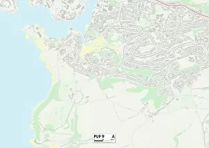
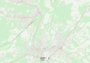
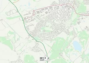
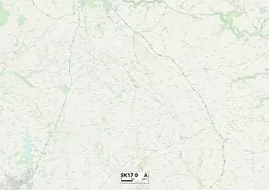
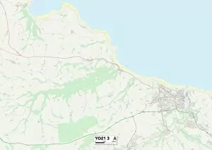
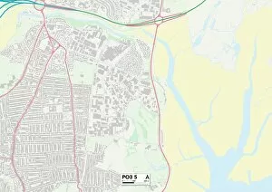
Discover the hidden gems of Parsons Close across various picturesque locations in the UK. From the charming streets of Berkshire RG14 5 to the coastal beauty of Plymouth PL9 9, each map leads you to a different adventure. Explore the enchanting landscapes of Waverley GU27 1 and South Derbyshire DE11 9, or soak up history in historic Hastings TN38 Wander through Sutton SM1 3's vibrant neighborhoods or embark on an outdoor escapade in Derbyshire Dales SK17 0. Immerse yourself in North Yorkshire YO21 3's breathtaking scenery or unwind by Hampshire PO3 5's tranquil shores. Experience rural charm in Somerset TA4 4 and discover nature's wonders at Somerset TA5 Finally, explore Telford and Wrekin TF2 8 for a mix of modernity and natural beauty. Wherever your journey takes you, let Parsons Close be your guide to unforgettable memories.