
Parkfield Road Collection
Parkfield Road is a well-connected street that stretches across various cities and towns in the United Kingdom


All Professionally Made to Order for Quick Shipping
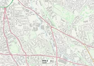
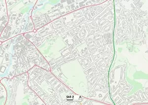
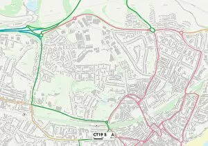
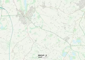
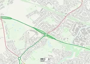
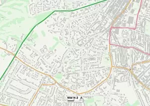
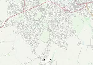
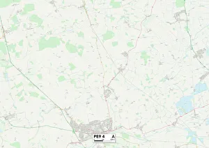
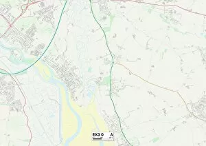
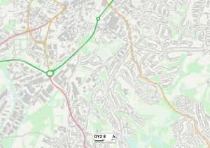
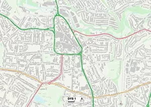
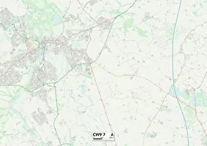
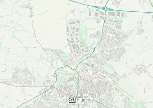
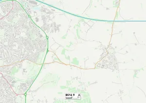
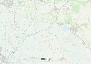
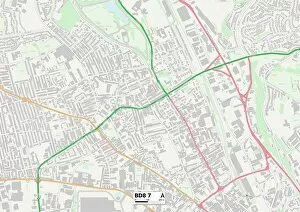
Parkfield Road is a well-connected street that stretches across various cities and towns in the United Kingdom. From Wolverhampton to Rotherham, Folkestone to Stockton-on-Tees, this road connects communities far and wide. Whether you're in Cheshire East or Torbay, Hounslow or Ealing, Parkfield Road serves as a vital link between these areas. With its diverse range of locations along its route, it offers something for everyone. In Wolverhampton WV2 2 Map area, you can explore the vibrant city center with its bustling shops and cultural attractions. Meanwhile, in Rotherham S65 2 Map region, history enthusiasts can delve into the town's rich industrial heritage. Heading towards Folkestone CT19 5 Map area brings you closer to stunning coastal views and charming seaside towns. While Stockton-on-Tees TS18 3 Map boasts beautiful parks and green spaces perfect for leisurely strolls or family picnics. Continuing on your journey through Cheshire East WA16 8 Map takes you through picturesque countryside landscapes dotted with quaint villages and historic landmarks. And if you find yourself in Torbay TQ1 4 Map region, be prepared for breathtaking beaches and an array of water activities. As Parkfield Road winds through Hounslow TW13 7 Map area, immerse yourself in multicultural neighborhoods filled with diverse cuisines and vibrant markets. Further west lies Ealing UB5 5 Map district where leafy residential streets offer tranquility amidst London's hustle and bustle. Hillingdon UB10 8 map showcases vast green spaces like parks ideal for outdoor recreation while Trafford WA14 2 map leads to thriving shopping centers offering retail therapy at its finest. In Somerset TA1 4 map area discover charming market towns steeped in history alongside rolling hillsides perfect for hiking adventures. Lastly Staffordshire ST3 4 map introduces visitors to its rich heritage and stunning countryside views.