Fraud Blocker Skip to main content

Park View Collection (page 2)

"Escape to Nature's Haven: Exploring Park Views Across the UK" Discover the hidden gems of Kettering (NN15 6 Map), where lush greenery and serene landscapes await

Background imagePark View Collection: Kirklees WF12 8 Map

Kirklees WF12 8 Map
Postcode Sector Map of Kirklees WF12 8

Background imagePark View Collection: Kirklees WF12 9 Map

Kirklees WF12 9 Map
Postcode Sector Map of Kirklees WF12 9

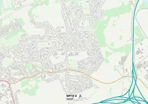
Background imagePark View Collection: Wakefield WF10 3 Map

Wakefield WF10 3 Map
Postcode Sector Map of Wakefield WF10 3

Background imagePark View Collection: Wakefield WF10 2 Map

Wakefield WF10 2 Map
Postcode Sector Map of Wakefield WF10 2

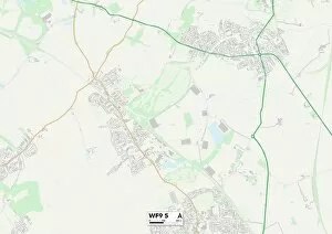
Background imagePark View Collection: Wakefield WF9 5 Map

Wakefield WF9 5 Map
Postcode Sector Map of Wakefield WF9 5

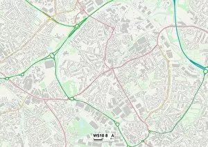
Background imagePark View Collection: Sandwell WS10 8 Map

Sandwell WS10 8 Map
Postcode Sector Map of Sandwell WS10 8

Background imagePark View Collection: North Yorkshire YO21 2 Map

North Yorkshire YO21 2 Map
Postcode Sector Map of North Yorkshire YO21 2

Background imagePark View Collection: Bassetlaw S81 7 Map

Bassetlaw S81 7 Map
Postcode Sector Map of Bassetlaw S81 7

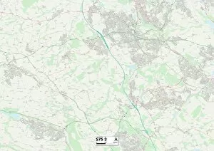
Background imagePark View Collection: Barnsley S75 3 Map

Barnsley S75 3 Map
Postcode Sector Map of Barnsley S75 3

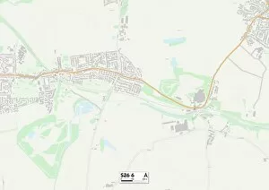
Background imagePark View Collection: Rotherham S26 6 Map

Rotherham S26 6 Map
Postcode Sector Map of Rotherham S26 6

Background imagePark View Collection: Barnsley S72 9 Map

Barnsley S72 9 Map
Postcode Sector Map of Barnsley S72 9

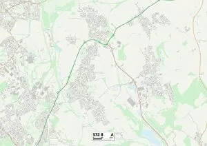
Background imagePark View Collection: Barnsley S72 8 Map

Barnsley S72 8 Map
Postcode Sector Map of Barnsley S72 8

Background imagePark View Collection: Barnsley S71 4 Map

Barnsley S71 4 Map
Postcode Sector Map of Barnsley S71 4

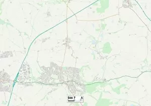
Background imagePark View Collection: Rotherham S66 7 Map

Rotherham S66 7 Map
Postcode Sector Map of Rotherham S66 7

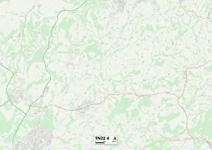
Background imagePark View Collection: Wealden TN22 4 Map

Wealden TN22 4 Map
Postcode Sector Map of Wealden TN22 4

Background imagePark View Collection: Hillingdon UB7 7 Map

Hillingdon UB7 7 Map
Postcode Sector Map of Hillingdon UB7 7

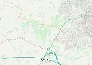
Background imagePark View Collection: Trafford WA14 4 Map

Trafford WA14 4 Map
Postcode Sector Map of Trafford WA14 4

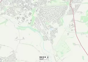
Background imagePark View Collection: St. Helens WA12 8 Map

St. Helens WA12 8 Map
Postcode Sector Map of St. Helens WA12 8

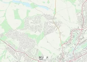
Background imagePark View Collection: Rotherham S61 4 Map

Rotherham S61 4 Map
Postcode Sector Map of Rotherham S61 4

Background imagePark View Collection: Rotherham S61 2 Map

Rotherham S61 2 Map
Postcode Sector Map of Rotherham S61 2

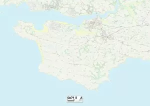
Background imagePark View Collection: Pembrokeshire SA71 5 Map

Pembrokeshire SA71 5 Map
Postcode Sector Map of Pembrokeshire SA71 5

Background imagePark View Collection: Hampshire RG28 7 Map

Hampshire RG28 7 Map
Postcode Sector Map of Hampshire RG28 7

Background imagePark View Collection: Mid Sussex RH16 1 Map

Mid Sussex RH16 1 Map
Postcode Sector Map of Mid Sussex RH16 1

Background imagePark View Collection: Somerset TA5 1 Map

Somerset TA5 1 Map
Postcode Sector Map of Somerset TA5 1

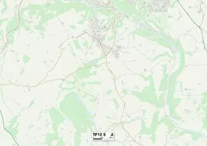
Background imagePark View Collection: Shropshire TF12 5 Map

Shropshire TF12 5 Map
Postcode Sector Map of Shropshire TF12 5

Background imagePark View Collection: Scottish Borders TD9 7 Map

Scottish Borders TD9 7 Map
Postcode Sector Map of Scottish Borders TD9 7

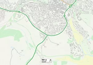
Background imagePark View Collection: Cornwall TR1 2 Map

Cornwall TR1 2 Map
Postcode Sector Map of Cornwall TR1 2

Background imagePark View Collection: Thurrock RM15 4 Map

Thurrock RM15 4 Map
Postcode Sector Map of Thurrock RM15 4

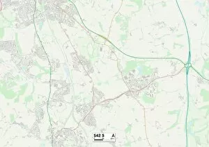
Background imagePark View Collection: Chesterfield S42 5 Map

Chesterfield S42 5 Map
Postcode Sector Map of Chesterfield S42 5

Background imagePark View Collection: Chesterfield S41 0 Map

Chesterfield S41 0 Map
Postcode Sector Map of Chesterfield S41 0

Background imagePark View Collection: Renfrewshire PA2 6 Map

Renfrewshire PA2 6 Map
Postcode Sector Map of Renfrewshire PA2 6

Background imagePark View Collection: Chesterfield S43 4 Map

Chesterfield S43 4 Map
Postcode Sector Map of Chesterfield S43 4

Background imagePark View Collection: Castle Point SS8 7 Map

Castle Point SS8 7 Map
Postcode Sector Map of Castle Point SS8 7

Background imagePark View Collection: Perth and Kinross PH11 8 Map

Perth and Kinross PH11 8 Map
Postcode Sector Map of Perth and Kinross PH11 8

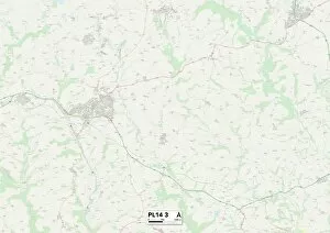
Background imagePark View Collection: Cornwall PL14 3 Map

Cornwall PL14 3 Map
Postcode Sector Map of Cornwall PL14 3

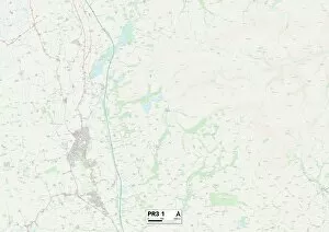
Background imagePark View Collection: Fylde PR3 1 Map

Fylde PR3 1 Map
Postcode Sector Map of Fylde PR3 1

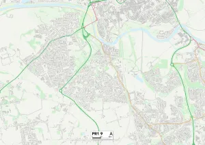
Background imagePark View Collection: Preston PR1 9 Map

Preston PR1 9 Map
Postcode Sector Map of Preston PR1 9

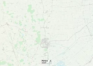
Background imagePark View Collection: South Kesteven PE10 0 Map

South Kesteven PE10 0 Map
Postcode Sector Map of South Kesteven PE10 0

Background imagePark View Collection: Renfrewshire PA10 2 Map

Renfrewshire PA10 2 Map
Postcode Sector Map of Renfrewshire PA10 2

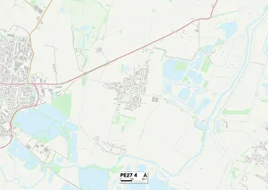
Background imagePark View Collection: Huntingdonshire PE27 4 Map

Huntingdonshire PE27 4 Map
Postcode Sector Map of Huntingdonshire PE27 4

Background imagePark View Collection: Carmarthenshire SA14 8 Map

Carmarthenshire SA14 8 Map
Postcode Sector Map of Carmarthenshire SA14 8

Background imagePark View Collection: Stockport SK1 4 Map

Stockport SK1 4 Map
Postcode Sector Map of Stockport SK1 4

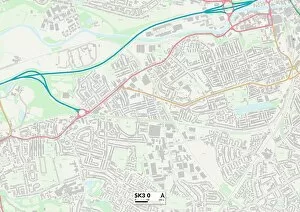
Background imagePark View Collection: Stockport SK3 0 Map

Stockport SK3 0 Map
Postcode Sector Map of Stockport SK3 0

Background imagePark View Collection: Monmouthshire NP4 8 Map

Monmouthshire NP4 8 Map
Postcode Sector Map of Monmouthshire NP4 8

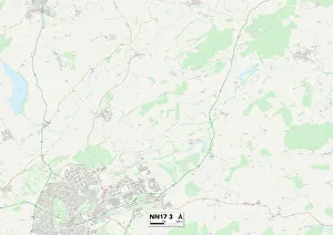
Background imagePark View Collection: Corby NN17 3 Map

Corby NN17 3 Map
Postcode Sector Map of Corby NN17 3

Background imagePark View Collection: Kettering NN16 9 Map

Kettering NN16 9 Map
Postcode Sector Map of Kettering NN16 9

Background imagePark View Collection: East Northamptonshire NN14 4 Map

East Northamptonshire NN14 4 Map
Postcode Sector Map of East Northamptonshire NN14 4

Background imagePark View Collection: Vale of White Horse OX12 7 Map

Vale of White Horse OX12 7 Map
Postcode Sector Map of Vale of White Horse OX12 7


All Professionally Made to Order for Quick Shipping

"Escape to Nature's Haven: Exploring Park Views Across the UK" Discover the hidden gems of Kettering (NN15 6 Map), where lush greenery and serene landscapes await. Lose yourself in the tranquility of Scottish Borders (TD11 3 Map), as you soak in breathtaking views that stretch for miles. Teignbridge (TQ12 4 Map) beckons with its picturesque parks, offering a peaceful retreat from bustling city life. Neath Port Talbot (SA13 1 Map) boasts stunning park vistas that will leave you awe-inspired, while Leeds (LS26 8 Map) and LS22 5 Map) offer an urban oasis amidst their vibrant cityscapes. Aylesbury Vale's (HP22 5 Map) sprawling parks invite you to unwind and reconnect with nature. Mole Valley's (KT23 3 Map) idyllic a sight to behold, providing solace for weary souls seeking respite. Wakefield's WF6 2 map showcases charming parklands perfect for leisurely strolls or picnics with loved ones. Leeds' WF3 3 map offers a diverse range of park views, catering to every nature enthusiast's preferences. Meanwhile, Wakefield’s WF2 9 map presents enchanting green spaces that transport visitors into a world of serenity. Lastly, East Riding of Yorkshire’s YO16 map unveils coastal beauty intertwined with sprawling parks—a haven where land meets sea. Embark on an unforgettable journey through these remarkable locations across the UK—each promising captivating park views that will rejuvenate your spirit and ignite your love for nature.