Fraud Blocker Skip to main content

Park Road Collection (page 6)

"Exploring the scenic Park Road in various corners of the UK 🌳🚗 From Shetland's ZE2 9 to South Ribble's PR25 3

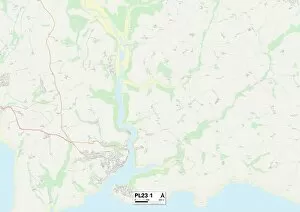
Background imagePark Road Collection: Cornwall PL23 1 Map

Cornwall PL23 1 Map
Postcode Sector Map of Cornwall PL23 1

Background imagePark Road Collection: West Devon PL16 0 Map

West Devon PL16 0 Map
Postcode Sector Map of West Devon PL16 0

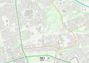
Background imagePark Road Collection: Preston PR2 8 Map

Preston PR2 8 Map
Postcode Sector Map of Preston PR2 8

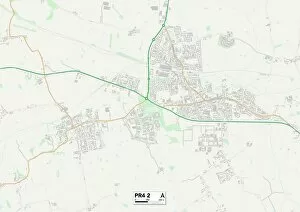
Background imagePark Road Collection: Fylde PR4 2 Map

Fylde PR4 2 Map
Postcode Sector Map of Fylde PR4 2

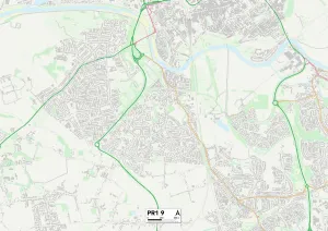
Background imagePark Road Collection: Preston PR1 9 Map

Preston PR1 9 Map
Postcode Sector Map of Preston PR1 9

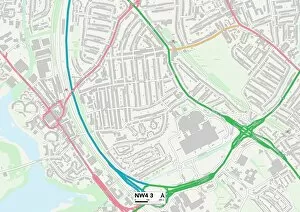
Background imagePark Road Collection: Barnet NW4 3 Map

Barnet NW4 3 Map
Postcode Sector Map of Barnet NW4 3

Background imagePark Road Collection: Camden NW1 4 Map

Camden NW1 4 Map
Postcode Sector Map of Camden NW1 4

Background imagePark Road Collection: Huntingdonshire PE27 5 Map

Huntingdonshire PE27 5 Map
Postcode Sector Map of Huntingdonshire PE27 5

Background imagePark Road Collection: Huntingdonshire PE19 5 Map

Huntingdonshire PE19 5 Map
Postcode Sector Map of Huntingdonshire PE19 5

Background imagePark Road Collection: Renfrewshire PA5 8 Map

Renfrewshire PA5 8 Map
Postcode Sector Map of Renfrewshire PA5 8

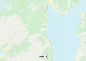
Background imagePark Road Collection: Argyllshire PA30 8 Map

Argyllshire PA30 8 Map
Postcode Sector Map of Argyllshire PA30 8

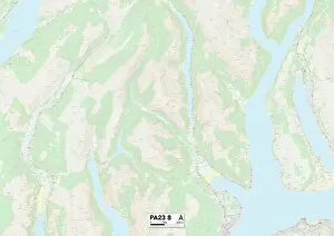
Background imagePark Road Collection: Argyllshire PA23 8 Map

Argyllshire PA23 8 Map
Postcode Sector Map of Argyllshire PA23 8

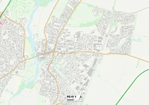
Background imagePark Road Collection: Huntingdonshire PE19 1 Map

Huntingdonshire PE19 1 Map
Postcode Sector Map of Huntingdonshire PE19 1

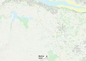
Background imagePark Road Collection: Renfrewshire PA13 4 Map

Renfrewshire PA13 4 Map
Postcode Sector Map of Renfrewshire PA13 4

Background imagePark Road Collection: Renfrewshire PA11 3 Map

Renfrewshire PA11 3 Map
Postcode Sector Map of Renfrewshire PA11 3

Background imagePark Road Collection: Fenland PE15 0 Map

Fenland PE15 0 Map
Postcode Sector Map of Fenland PE15 0

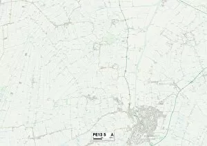
Background imagePark Road Collection: Fenland PE13 5 Map

Fenland PE13 5 Map
Postcode Sector Map of Fenland PE13 5

Background imagePark Road Collection: Fenland PE13 2 Map

Fenland PE13 2 Map
Postcode Sector Map of Fenland PE13 2

Background imagePark Road Collection: South Holland PE12 9 Map

South Holland PE12 9 Map
Postcode Sector Map of South Holland PE12 9

Background imagePark Road Collection: Argyllshire PA34 4 Map

Argyllshire PA34 4 Map
Postcode Sector Map of Argyllshire PA34 4

Background imagePark Road Collection: South Holland PE12 7 Map

South Holland PE12 7 Map
Postcode Sector Map of South Holland PE12 7

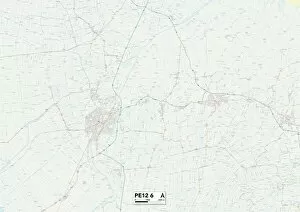
Background imagePark Road Collection: South Holland PE12 6 Map

South Holland PE12 6 Map
Postcode Sector Map of South Holland PE12 6

Background imagePark Road Collection: South Holland PE11 1 Map

South Holland PE11 1 Map
Postcode Sector Map of South Holland PE11 1

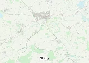
Background imagePark Road Collection: South Kesteven PE9 3 Map

South Kesteven PE9 3 Map
Postcode Sector Map of South Kesteven PE9 3

Background imagePark Road Collection: South Kesteven PE6 8 Map

South Kesteven PE6 8 Map
Postcode Sector Map of South Kesteven PE6 8

Background imagePark Road Collection: Sheffield S6 5 Map

Sheffield S6 5 Map
Postcode Sector Map of Sheffield S6 5

Background imagePark Road Collection: Huntingdonshire PE26 1 Map

Huntingdonshire PE26 1 Map
Postcode Sector Map of Huntingdonshire PE26 1

Background imagePark Road Collection: Boston PE21 7 Map

Boston PE21 7 Map
Postcode Sector Map of Boston PE21 7

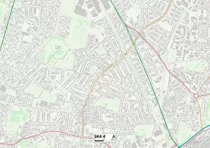
Background imagePark Road Collection: Stockport SK4 4 Map

Stockport SK4 4 Map
Postcode Sector Map of Stockport SK4 4

Background imagePark Road Collection: Stockport SK8 7 Map

Stockport SK8 7 Map
Postcode Sector Map of Stockport SK8 7

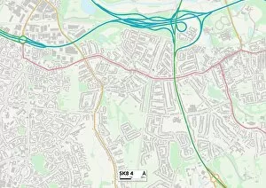
Background imagePark Road Collection: Stockport SK8 4 Map

Stockport SK8 4 Map
Postcode Sector Map of Stockport SK8 4

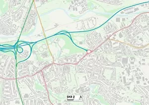
Background imagePark Road Collection: Stockport SK8 2 Map

Stockport SK8 2 Map
Postcode Sector Map of Stockport SK8 2

Background imagePark Road Collection: Stockport SK6 4 Map

Stockport SK6 4 Map
Postcode Sector Map of Stockport SK6 4

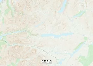
Background imagePark Road Collection: Highland PH50 4 Map

Highland PH50 4 Map
Postcode Sector Map of Highland PH50 4

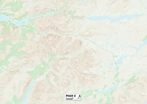
Background imagePark Road Collection: Highland PH49 4 Map

Highland PH49 4 Map
Postcode Sector Map of Highland PH49 4

Background imagePark Road Collection: Plymouth PL3 5 Map

Plymouth PL3 5 Map
Postcode Sector Map of Plymouth PL3 5

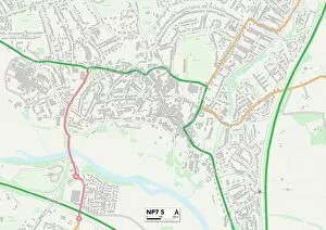
Background imagePark Road Collection: Monmouthshire NP7 5 Map

Monmouthshire NP7 5 Map
Postcode Sector Map of Monmouthshire NP7 5

Background imagePark Road Collection: Monmouthshire NP4 6 Map

Monmouthshire NP4 6 Map
Postcode Sector Map of Monmouthshire NP4 6

Background imagePark Road Collection: Kettering NN16 9 Map

Kettering NN16 9 Map
Postcode Sector Map of Kettering NN16 9

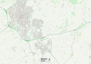
Background imagePark Road Collection: Kettering NN15 5 Map

Kettering NN15 5 Map
Postcode Sector Map of Kettering NN15 5

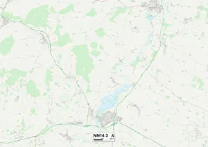
Background imagePark Road Collection: East Northamptonshire NN14 3 Map

East Northamptonshire NN14 3 Map
Postcode Sector Map of East Northamptonshire NN14 3

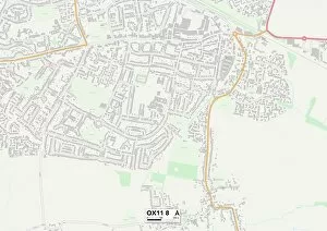
Background imagePark Road Collection: South Oxfordshire OX11 8 Map

South Oxfordshire OX11 8 Map
Postcode Sector Map of South Oxfordshire OX11 8

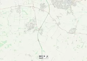
Background imagePark Road Collection: South Oxfordshire OX11 0 Map

South Oxfordshire OX11 0 Map
Postcode Sector Map of South Oxfordshire OX11 0

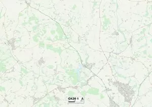
Background imagePark Road Collection: West Oxfordshire OX20 1 Map

West Oxfordshire OX20 1 Map
Postcode Sector Map of West Oxfordshire OX20 1

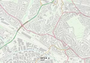
Background imagePark Road Collection: Brent NW10 8 Map

Brent NW10 8 Map
Postcode Sector Map of Brent NW10 8

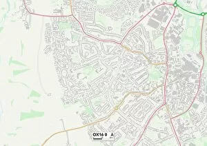
Background imagePark Road Collection: Cherwell OX16 0 Map

Cherwell OX16 0 Map
Postcode Sector Map of Cherwell OX16 0

Background imagePark Road Collection: Cherwell OX15 5 Map

Cherwell OX15 5 Map
Postcode Sector Map of Cherwell OX15 5

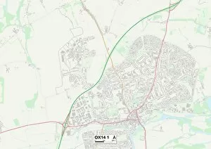
Background imagePark Road Collection: South Oxfordshire OX14 1 Map

South Oxfordshire OX14 1 Map
Postcode Sector Map of South Oxfordshire OX14 1


All Professionally Made to Order for Quick Shipping

"Exploring the scenic Park Road in various corners of the UK 🌳🚗 From Shetland's ZE2 9 to South Ribble's PR25 3, this road takes us on a journey through picturesque landscapes. Enfield's EN4 9 leads us to Trafford's M33 6, where we can enjoy the beauty of nature along the way. Rhondda Cynon Taf's CF42 6 and Wigan's WN2 3 offer stunning views that are worth capturing on camera. Dudley's DY8 3 takes us through charming neighborhoods, while BL Bolton BL3 1 showcases its unique charm. Wolverhampton WV10 7 and York YO8 8 both have their own distinct character waiting to be discovered. Don't miss out on Wigan WN6 7 and Shepway TN28 8 for more hidden gems along Park Road. So grab your map and embark on an unforgettable adventure filled with breathtaking sights. "