Fraud Blocker Skip to main content

Old Hall Close Collection

Discover the charm of Old Hall Close in various locations across the UK

Background imageOld Hall Close Collection: Wakefield WF1 2 Map

Wakefield WF1 2 Map
Postcode Sector Map of Wakefield WF1 2

Background imageOld Hall Close Collection: Norfolk NR14 8 Map

Norfolk NR14 8 Map
Postcode Sector Map of Norfolk NR14 8

Background imageOld Hall Close Collection: Bolsover NG20 0 Map

Bolsover NG20 0 Map
Postcode Sector Map of Bolsover NG20 0

Background imageOld Hall Close Collection: Wolverhampton WV7 3 Map

Wolverhampton WV7 3 Map
Postcode Sector Map of Wolverhampton WV7 3

Background imageOld Hall Close Collection: Warrington WA4 6 Map

Warrington WA4 6 Map
Postcode Sector Map of Warrington WA4 6

Background imageOld Hall Close Collection: High Peak SK13 7 Map

High Peak SK13 7 Map
Postcode Sector Map of High Peak SK13 7

Background imageOld Hall Close Collection: Wychavon WR12 7 Map

Wychavon WR12 7 Map
Postcode Sector Map of Wychavon WR12 7

Background imageOld Hall Close Collection: Rotherham S25 1 Map

Rotherham S25 1 Map
Postcode Sector Map of Rotherham S25 1

Background imageOld Hall Close Collection: Rotherham S66 2 Map

Rotherham S66 2 Map
Postcode Sector Map of Rotherham S66 2

Background imageOld Hall Close Collection: Telford and Wrekin TF1 2 Map

Telford and Wrekin TF1 2 Map
Postcode Sector Map of Telford and Wrekin TF1 2

Background imageOld Hall Close Collection: North East Derbyshire S45 8 Map

North East Derbyshire S45 8 Map
Postcode Sector Map of North East Derbyshire S45 8

Background imageOld Hall Close Collection: South Ribble PR5 6 Map

South Ribble PR5 6 Map
Postcode Sector Map of South Ribble PR5 6

Background imageOld Hall Close Collection: Newport NP10 8 Map

Newport NP10 8 Map
Postcode Sector Map of Newport NP10 8

Background imageOld Hall Close Collection: Norfolk NR16 1 Map

Norfolk NR16 1 Map
Postcode Sector Map of Norfolk NR16 1

Background imageOld Hall Close Collection: Newark and Sherwood NG24 3 Map

Newark and Sherwood NG24 3 Map
Postcode Sector Map of Newark and Sherwood NG24 3

Background imageOld Hall Close Collection: Gedling NG14 6 Map

Gedling NG14 6 Map
Postcode Sector Map of Gedling NG14 6

Background imageOld Hall Close Collection: Wrexham LL14 4 Map

Wrexham LL14 4 Map
Postcode Sector Map of Wrexham LL14 4

Background imageOld Hall Close Collection: Leicester LE4 8 Map

Leicester LE4 8 Map
Postcode Sector Map of Leicester LE4 8

Background imageOld Hall Close Collection: Lancaster LA4 6 Map

Lancaster LA4 6 Map
Postcode Sector Map of Lancaster LA4 6

Background imageOld Hall Close Collection: Leicester LE6 0 Map

Leicester LE6 0 Map
Postcode Sector Map of Leicester LE6 0

Background imageOld Hall Close Collection: Mid Suffolk IP6 0 Map

Mid Suffolk IP6 0 Map
Postcode Sector Map of Mid Suffolk IP6 0

Background imageOld Hall Close Collection: Suffolk Coastal IP11 9 Map

Suffolk Coastal IP11 9 Map
Postcode Sector Map of Suffolk Coastal IP11 9

Background imageOld Hall Close Collection: Sefton L31 5 Map

Sefton L31 5 Map
Postcode Sector Map of Sefton L31 5

Background imageOld Hall Close Collection: Breckland IP25 7 Map

Breckland IP25 7 Map
Postcode Sector Map of Breckland IP25 7

Background imageOld Hall Close Collection: Harrow HA5 4 Map

Harrow HA5 4 Map
Postcode Sector Map of Harrow HA5 4

Background imageOld Hall Close Collection: Dudley DY8 4 Map

Dudley DY8 4 Map
Postcode Sector Map of Dudley DY8 4

Background imageOld Hall Close Collection: Derbyshire Dales DE4 2 Map

Derbyshire Dales DE4 2 Map
Postcode Sector Map of Derbyshire Dales DE4 2

Background imageOld Hall Close Collection: Doncaster DN5 7 Map

Doncaster DN5 7 Map
Postcode Sector Map of Doncaster DN5 7

Background imageOld Hall Close Collection: Cheshire West and Chester CH64 5 Map

Cheshire West and Chester CH64 5 Map
Postcode Sector Map of Cheshire West and Chester CH64 5

Background imageOld Hall Close Collection: St Edmundsbury CB9 7 Map

St Edmundsbury CB9 7 Map
Postcode Sector Map of St Edmundsbury CB9 7

Background imageOld Hall Close Collection: Bury BL8 4 Map

Bury BL8 4 Map
Postcode Sector Map of Bury BL8 4

Background imageOld Hall Close Collection: Bradford BD22 8 Map

Bradford BD22 8 Map
Postcode Sector Map of Bradford BD22 8

Background imageOld Hall Close Collection: Bradford BD20 8 Map

Bradford BD20 8 Map
Postcode Sector Map of Bradford BD20 8

Background imageOld Hall Close Collection: Pendle BB9 6 Map

Pendle BB9 6 Map
Postcode Sector Map of Pendle BB9 6


All Professionally Made to Order for Quick Shipping

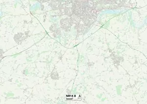
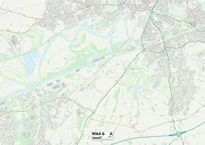
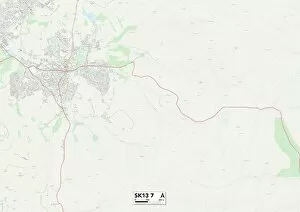
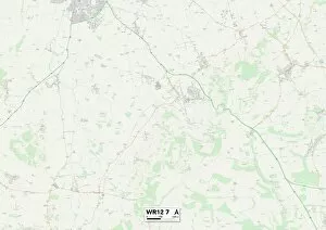
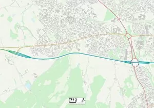
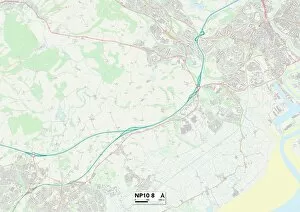
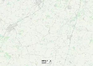
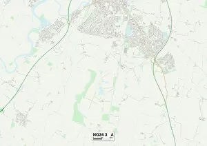
Discover the charm of Old Hall Close in various locations across the UK. From Wakefield to Norfolk, Bolsover to Wolverhampton, and Warrington to High Peak, this quaint street can be found in different corners of the country. Nestled within the picturesque landscapes of Wychavon and Rotherham, it offers a sense of tranquility and history. Take a stroll through its winding paths and admire the unique architecture that reflects each region's character. Whether you're exploring Telford and Wrekin or North East Derbyshire, you'll find yourself immersed in the beauty of these charming communities. With South Ribble as its backdrop, Old Hall Close invites you to experience a slice of rural life while still being conveniently located near modern amenities. So grab your map and embark on an adventure through these diverse destinations – let Old Hall Close guide you on a journey filled with nostalgia and discovery.