Fraud Blocker Skip to main content

Mulberry Close Collection

Welcome to Mulberry Close, a charming neighborhood that spans across various locations in the UK

Background imageMulberry Close Collection: Enfield EN4 9 Map

Enfield EN4 9 Map
Postcode Sector Map of Enfield EN4 9

Background imageMulberry Close Collection: Wakefield WF2 0 Map

Wakefield WF2 0 Map
Postcode Sector Map of Wakefield WF2 0

Background imageMulberry Close Collection: York YO8 8 Map

York YO8 8 Map
Postcode Sector Map of York YO8 8

Background imageMulberry Close Collection: Wigan WN5 9 Map

Wigan WN5 9 Map
Postcode Sector Map of Wigan WN5 9

Background imageMulberry Close Collection: New Forest SO45 1 Map

New Forest SO45 1 Map
Postcode Sector Map of New Forest SO45 1

Background imageMulberry Close Collection: Barnsley S73 9 Map

Barnsley S73 9 Map
Postcode Sector Map of Barnsley S73 9

Background imageMulberry Close Collection: Rochdale OL11 3 Map

Rochdale OL11 3 Map
Postcode Sector Map of Rochdale OL11 3

Background imageMulberry Close Collection: Northampton NN5 5 Map

Northampton NN5 5 Map
Postcode Sector Map of Northampton NN5 5

Background imageMulberry Close Collection: Haringey N8 8 Map

Haringey N8 8 Map
Postcode Sector Map of Haringey N8 8

Background imageMulberry Close Collection: Luton LU1 1 Map

Luton LU1 1 Map
Postcode Sector Map of Luton LU1 1

Background imageMulberry Close Collection: Epsom and Ewell KT19 8 Map

Epsom and Ewell KT19 8 Map
Postcode Sector Map of Epsom and Ewell KT19 8

Background imageMulberry Close Collection: Bracknell Forest GU47 0 Map

Bracknell Forest GU47 0 Map
Postcode Sector Map of Bracknell Forest GU47 0

Background imageMulberry Close Collection: Broxbourne EN10 6 Map

Broxbourne EN10 6 Map
Postcode Sector Map of Broxbourne EN10 6

Background imageMulberry Close Collection: East Riding of Yorkshire YO16 6 Map

East Riding of Yorkshire YO16 6 Map
Postcode Sector Map of East Riding of Yorkshire YO16 6

Background imageMulberry Close Collection: Warrington WA1 4 Map

Warrington WA1 4 Map
Postcode Sector Map of Warrington WA1 4

Background imageMulberry Close Collection: Watford WD17 4 Map

Watford WD17 4 Map
Postcode Sector Map of Watford WD17 4

Background imageMulberry Close Collection: Shepway TN29 0 Map

Shepway TN29 0 Map
Postcode Sector Map of Shepway TN29 0

Background imageMulberry Close Collection: Rother TN39 4 Map

Rother TN39 4 Map
Postcode Sector Map of Rother TN39 4

Background imageMulberry Close Collection: Hounslow TW13 7 Map

Hounslow TW13 7 Map
Postcode Sector Map of Hounslow TW13 7

Background imageMulberry Close Collection: Lambeth SW16 1 Map

Lambeth SW16 1 Map
Postcode Sector Map of Lambeth SW16 1

Background imageMulberry Close Collection: North Hertfordshire SG5 4 Map

North Hertfordshire SG5 4 Map
Postcode Sector Map of North Hertfordshire SG5 4

Background imageMulberry Close Collection: Central Bedfordshire SG18 0 Map

Central Bedfordshire SG18 0 Map
Postcode Sector Map of Central Bedfordshire SG18 0

Background imageMulberry Close Collection: Wiltshire SN14 6 Map

Wiltshire SN14 6 Map
Postcode Sector Map of Wiltshire SN14 6

Background imageMulberry Close Collection: Wokingham RG10 0 Map

Wokingham RG10 0 Map
Postcode Sector Map of Wokingham RG10 0

Background imageMulberry Close Collection: Wakefield WF10 5 Map

Wakefield WF10 5 Map
Postcode Sector Map of Wakefield WF10 5

Background imageMulberry Close Collection: East Riding of Yorkshire YO25 6 Map

East Riding of Yorkshire YO25 6 Map
Postcode Sector Map of East Riding of Yorkshire YO25 6

Background imageMulberry Close Collection: Barnsley S63 9 Map

Barnsley S63 9 Map
Postcode Sector Map of Barnsley S63 9

Background imageMulberry Close Collection: Ealing UB5 5 Map

Ealing UB5 5 Map
Postcode Sector Map of Ealing UB5 5

Background imageMulberry Close Collection: Rotherham S62 6 Map

Rotherham S62 6 Map
Postcode Sector Map of Rotherham S62 6

Background imageMulberry Close Collection: Hampshire PO12 3 Map

Hampshire PO12 3 Map
Postcode Sector Map of Hampshire PO12 3

Background imageMulberry Close Collection: Tunbridge Wells TN4 9 Map

Tunbridge Wells TN4 9 Map
Postcode Sector Map of Tunbridge Wells TN4 9

Background imageMulberry Close Collection: Somerset TA1 2 Map

Somerset TA1 2 Map
Postcode Sector Map of Somerset TA1 2

Background imageMulberry Close Collection: Telford and Wrekin TF10 7 Map

Telford and Wrekin TF10 7 Map
Postcode Sector Map of Telford and Wrekin TF10 7

Background imageMulberry Close Collection: Torbay TQ3 3 Map

Torbay TQ3 3 Map
Postcode Sector Map of Torbay TQ3 3

Background imageMulberry Close Collection: Havering RM2 6 Map

Havering RM2 6 Map
Postcode Sector Map of Havering RM2 6

Background imageMulberry Close Collection: Reigate and Banstead RH2 7 Map

Reigate and Banstead RH2 7 Map
Postcode Sector Map of Reigate and Banstead RH2 7

Background imageMulberry Close Collection: Bracknell Forest RG45 7 Map

Bracknell Forest RG45 7 Map
Postcode Sector Map of Bracknell Forest RG45 7

Background imageMulberry Close Collection: Chesterfield S42 6 Map

Chesterfield S42 6 Map
Postcode Sector Map of Chesterfield S42 6

Background imageMulberry Close Collection: North Dorset SP8 4 Map

North Dorset SP8 4 Map
Postcode Sector Map of North Dorset SP8 4

Background imageMulberry Close Collection: Plymouth PL6 7 Map

Plymouth PL6 7 Map
Postcode Sector Map of Plymouth PL6 7

Background imageMulberry Close Collection: Fylde PR4 0 Map

Fylde PR4 0 Map
Postcode Sector Map of Fylde PR4 0

Background imageMulberry Close Collection: Barnet NW4 1 Map

Barnet NW4 1 Map
Postcode Sector Map of Barnet NW4 1

Background imageMulberry Close Collection: Camden NW3 5 Map

Camden NW3 5 Map
Postcode Sector Map of Camden NW3 5

Background imageMulberry Close Collection: Peterborough PE7 3 Map

Peterborough PE7 3 Map
Postcode Sector Map of Peterborough PE7 3

Background imageMulberry Close Collection: Peterborough PE7 1 Map

Peterborough PE7 1 Map
Postcode Sector Map of Peterborough PE7 1

Background imageMulberry Close Collection: Stockport SK8 3 Map

Stockport SK8 3 Map
Postcode Sector Map of Stockport SK8 3

Background imageMulberry Close Collection: East Northamptonshire NN14 2 Map

East Northamptonshire NN14 2 Map
Postcode Sector Map of East Northamptonshire NN14 2

Background imageMulberry Close Collection: Nottingham NG2 7 Map

Nottingham NG2 7 Map
Postcode Sector Map of Nottingham NG2 7


All Professionally Made to Order for Quick Shipping

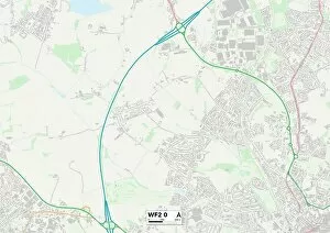
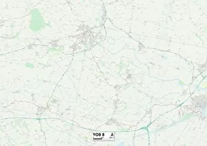
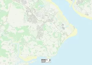
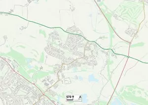
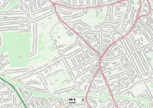
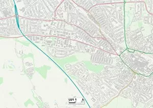
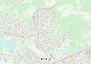
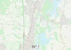
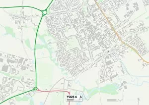
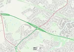
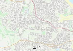
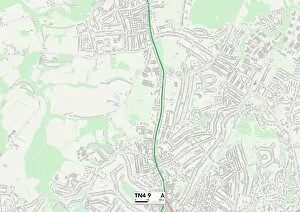
Welcome to Mulberry Close, a charming neighborhood that spans across various locations in the UK. From Enfield's EN4 9 Map to Wakefield's WF2 0 Map, this community offers a diverse range of homes and lifestyles for residents to enjoy. If you're seeking tranquility amidst nature, look no further than Mulberry Close in York's YO8 8 Map or New Forest's SO45 1 Map. These picturesque areas provide an idyllic setting with their lush greenery and serene surroundings. For those who prefer a more vibrant atmosphere, Barnsley's S73 9 Map and Rochdale's OL11 3 Map offer bustling streets filled with shops, restaurants, and entertainment options. You'll never run out of things to do or places to explore in these lively locales. It also extends its warm embrace to Northampton's NN5 5 Map and Haringey's N8 8 Map. Here, you'll find friendly neighbors and a strong sense of community spirit that makes living here truly special. Convenience is key at Mulberry Close as well. Luton's LU1 1 Map provides easy access to transportation hubs while Bracknell Forest’s GU47 OMap boasts excellent connectivity for commuters. Families will appreciate the family-friendly environment found at Broxbourne’s EN10 OMap where children can thrive within safe neighborhoods and top-notch schools. Lastly, East Riding of Yorkshire’s YO16 OMap showcases stunning coastal views that are sure to take your breath away every time you step outside your door. No matter which location within Mulberry Close you choose as your home sweet home, rest assured that each one offers its own unique charm and character. So come on over and discover the magic today.