
Modis Collection
"Exploring the Wonders of Our Planet: A Captivating Journey with MODIS" Embark on a mesmerizing journey through captivating satellite images captured by MODIS


All Professionally Made to Order for Quick Shipping
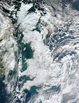
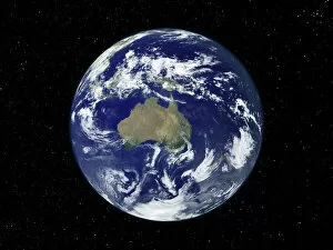
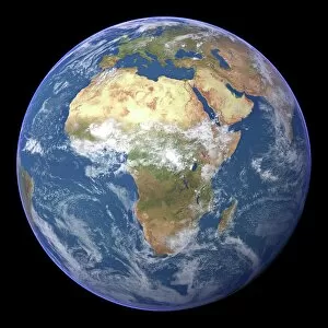
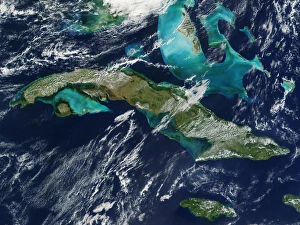
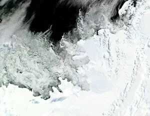
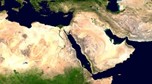
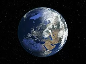
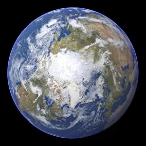
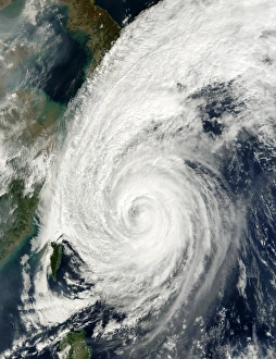
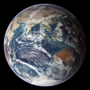
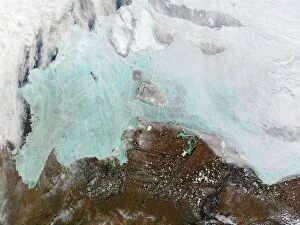
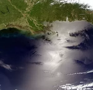
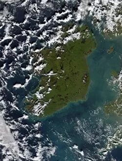
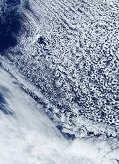
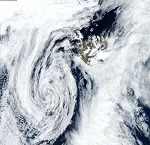
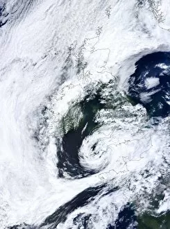
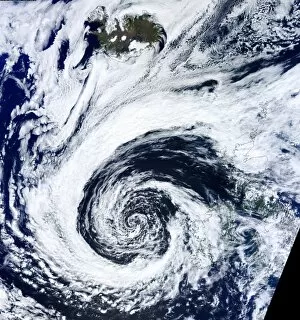
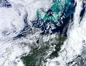
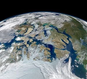
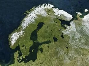
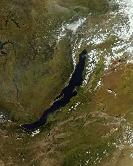
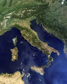
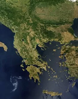
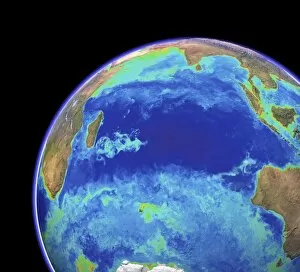
"Exploring the Wonders of Our Planet: A Captivating Journey with MODIS" Embark on a mesmerizing journey through captivating satellite images captured by MODIS, revealing the breathtaking beauty and diversity of our planet. From space, witness Earth's enchanting allure as it glimmers like a precious gem. In January 2010, MODIS unveiled a snow-covered United Kingdom, transforming this usually green land into a winter wonderland. The delicate white blanket painted an ethereal portrait that left us in awe. Venturing further south, Australia appeared before our eyes in vivid detail. The vibrant colors showcased its vast landscapes and diverse ecosystems, reminding us of nature's boundless creativity. Africa emerged next on the horizon; during daylight hours, we marveled at its sprawling savannahs and lush rainforests teeming with life. As night fell upon this magnificent continent, MODIS revealed Africa's shimmering cities illuminated against the dark backdrop - a testament to human resilience and progress. A world map from February 2004 unfolded before us like an intricate tapestry woven together by different cultures and nations. It reminded us of our interconnectedness as citizens of this shared planet. MODIS then delved deeper into Earth's secrets with topographic and bathymetric maps that unraveled hidden depths beneath oceans' surfaces while showcasing majestic mountain ranges rising towards the sky. Nature's fury was also captured when MODIS documented a sandstorm swirling over vast deserts—a reminder of both its destructive power and haunting beauty. Cuba materialized under our gaze—its vibrant hues reflecting its rich history and culture that have captivated hearts for centuries. The Wilkins Ice Shelf in Antarctica stood tall but fragile—an emblematic reminder of climate change impacting even the most remote corners of our world. Moving northwards to The Arctic, we witnessed icebergs floating majestically amidst icy waters—a poignant portrayal highlighting environmental changes affecting these pristine lands.