
Mendip Close Collection
"Mendip Close: A Multifaceted Neighborhood Spanning Across the UK" Nestled in various parts of the United Kingdom


All Professionally Made to Order for Quick Shipping
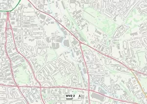
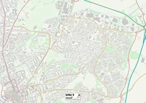
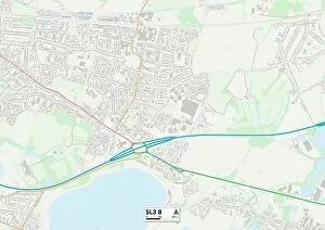
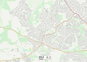
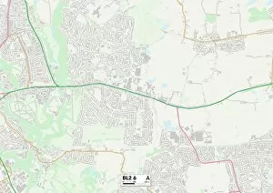
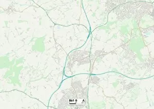
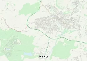
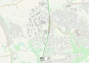
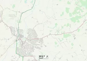
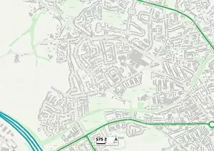
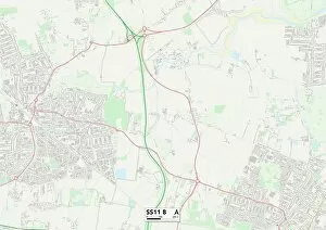
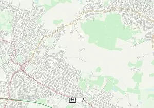
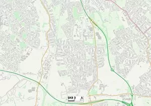
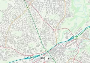
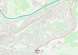
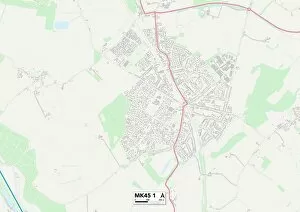
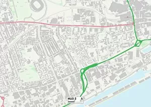
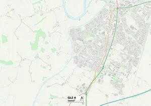
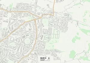
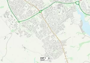
"Mendip Close: A Multifaceted Neighborhood Spanning Across the UK" Nestled in various parts of the United Kingdom, a captivating neighborhood that boasts diversity and charm. From Wolverhampton's WV2 2 Map to Worcester's WR4 9 Map, this community stretches its welcoming arms across different regions. In Bromley's SE26 4 Map, residents revel in the tranquility and beauty that surrounds them. The picturesque landscapes create an idyllic setting for families to build their lives and make cherished memories. Telford and Wrekin's TF4 3 Map offer a vibrant atmosphere where neighbors come together to celebrate local events and forge lasting friendships. The sense of unity within this close-knit community is palpable as they support one another through thick and thin. As you venture further south towards Slough's SL3 8 Map, you'll discover a melting pot of cultures within Mendip Close. This dynamic blend creates an enriching environment where traditions are shared, fostering understanding among diverse backgrounds. Bolton's BL2 6 Map brings forth a sense of history intertwined with modernity. Residents here appreciate the fusion between old-world charm and contemporary amenities found throughout Mendip Close. Journeying westward to Bromsgrove's B61 0 Map reveals stunning architecture amidst lush greenery. The streets exude elegance while maintaining a warm ambiance that makes every resident feel right at home. Wiltshire's BA12 8 Map showcases breathtaking countryside views surrounding Mendip Close. Nature enthusiasts rejoice in the abundance of outdoor activities available at their doorstep, creating endless opportunities for exploration and adventure. Swindon’s SN25 3 Map offers convenience alongside natural beauty - residents can easily access urban amenities while still enjoying peaceful surroundings within Mendip Close. Heading northwards towards County Durham’s SR8 2 map unravels rich heritage and a strong sense of community.