
Landsat 7 Collection
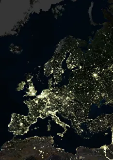
"Landsat 7: Illuminating Earth's Wonders from Above" Witness the mesmerizing glow of Europe at night, as captured by Landsat 7's satellite image


All Professionally Made to Order for Quick Shipping
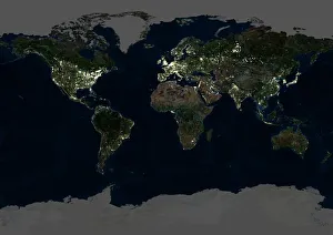
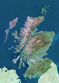
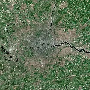
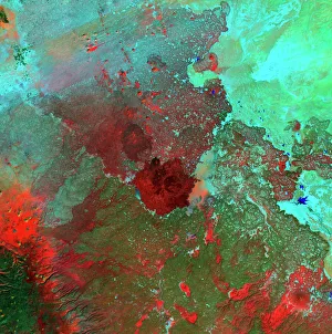
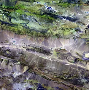
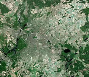
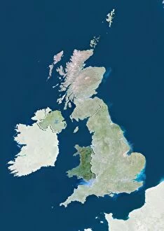
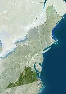
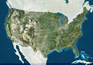
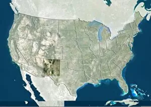
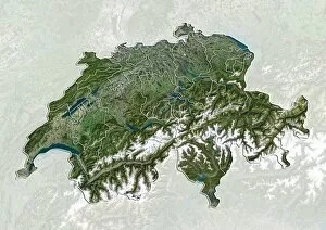
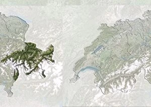
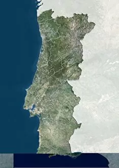
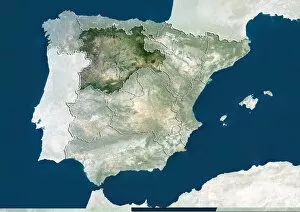
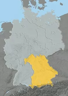
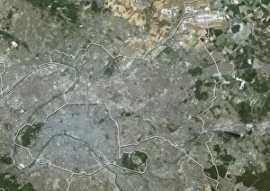
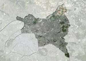
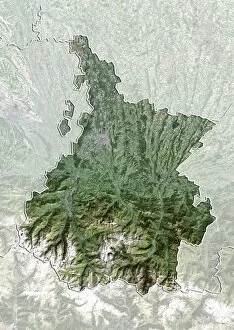
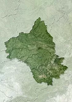
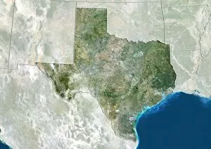
"Landsat 7: Illuminating Earth's Wonders from Above" Witness the mesmerizing glow of Europe at night, as captured by Landsat 7's satellite image, revealing vibrant cities and bustling metropolises. Behold the breathtaking beauty of our planet with a stunning satellite image showcasing the Whole Earth at night, where millions of lights twinkle like stars in the darkness. Explore Scotland's enchanting landscapes from an otherworldly perspective through Landsat 7's satellite image, unveiling its rugged mountains, pristine lochs, and picturesque countryside. Dive into the heart of London, UK with a captivating satellite image taken by Landsat 7 that showcases this iconic cityscape adorned with historic landmarks and modern marvels. Discover the vastness of Syria's desert expanse through a striking satellite image captured by Landsat 7, offering a glimpse into its arid beauty and mysterious allure. Journey to where two contrasting worlds meet – witness the dramatic border between steppe and desert in all its glory through Landsat 7's awe-inspiring satellite image. Marvel at Berlin’s urban tapestry as seen from above in an extraordinary satellite image provided by Landsat 7; explore this dynamic capital known for its rich history and vibrant culture. Unearth one of nature’s most enigmatic wonders - The Richat Structure - revealed in intricate detail through a captivating satellite image courtesy of Landsat 7; discover this geological marvel located deep within Mauritania’s Sahara Desert. Experience Southeast Asia come alive after dark with an illuminating view captured by Landsat 7's advanced technology - observe sprawling cities intertwined amidst lush greenery under twinkling lights. Embark on an unforgettable journey across Asia via an astonishing panoramic view offered by Landsat-7’s comprehensive satellite imagery capturing diverse landscapes spanning mountains to coastlines.