
Land Collection (page 3)
"Land: A Tapestry of Stories and Legends" From the vast plains of Africa to the ancient forests of Norse mythology, land holds tales that transcend time


All Professionally Made to Order for Quick Shipping
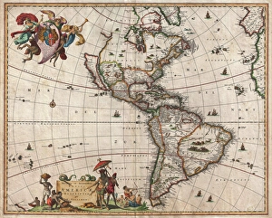
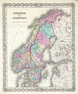
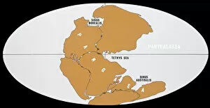
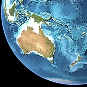
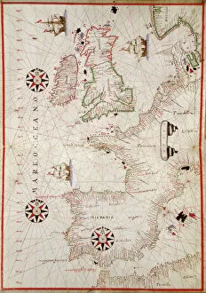
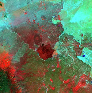
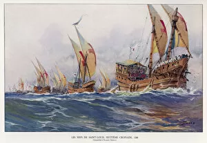
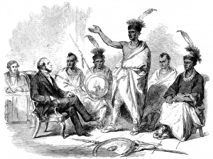
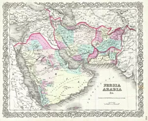
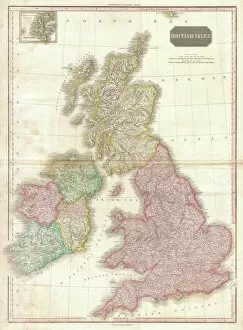
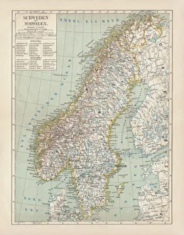
"Land: A Tapestry of Stories and Legends" From the vast plains of Africa to the ancient forests of Norse mythology, land holds tales that transcend time, and is a canvas upon which history, culture, and human resilience are painted. In the political map of Africa, borders define nations but fail to capture the rich tapestry of diversity within its lands. Each region carries stories etched in its soil - from tribal traditions to struggles for independence. The Iroquois creation myth introduces us to Sky Woman, whose descent from above brought forth life on Earth. Her story reminds us that land is not merely a physical entity but also a sacred space intertwined with spirituality. Yggdrasil, the Tree of Life in Norse mythology, stands tall as an emblematic representation of interconnectedness between realms. Its roots delve deep into the earth's core while branches reach towards celestial heights - reminding us that all life stems from this shared ground. Amidst the chaos and devastation of World War I, a momentary respite emerged during the Christmas Truce in 1914. Soldiers laid down their weapons on foreign soil and celebrated together - proving that even amidst conflict, humanity can find solace in our collective connection to land. Australia's map showcases diverse landscapes; from arid deserts to lush rainforests teeming with unique flora and fauna. This continent bears witness to millions of years' worth continental drifts shaping its terrain - a testament to nature's ever-evolving dance with time. The Royal Logistic Corps embodies how land serves as both protector and provider. From supplying troops on distant battlefields to aiding disaster-stricken regions worldwide, they exemplify how our relationship with land extends beyond boundaries or borders. Ceylon's tea industry plantations paint vivid scenes across its map - showcasing laborers working tirelessly amidst rolling hills covered in emerald green leaves. These plantations stand as testaments to human ingenuity harnessing the land's resources to create livelihoods and cultivate a beloved beverage.