Fraud Blocker Skip to main content

Laburnum Road Collection

Laburnum Road is a vibrant and diverse street that stretches across various cities in the UK

Background imageLaburnum Road Collection: Wolverhampton WV4 6 Map

Wolverhampton WV4 6 Map
Postcode Sector Map of Wolverhampton WV4 6

Background imageLaburnum Road Collection: Wakefield WF1 3 Map

Wakefield WF1 3 Map
Postcode Sector Map of Wakefield WF1 3

Background imageLaburnum Road Collection: Wigan WA3 2 Map

Wigan WA3 2 Map
Postcode Sector Map of Wigan WA3 2

Background imageLaburnum Road Collection: Worcester WR4 9 Map

Worcester WR4 9 Map
Postcode Sector Map of Worcester WR4 9

Background imageLaburnum Road Collection: Merton SW19 1 Map

Merton SW19 1 Map
Postcode Sector Map of Merton SW19 1

Background imageLaburnum Road Collection: Swindon SN2 1 Map

Swindon SN2 1 Map
Postcode Sector Map of Swindon SN2 1

Background imageLaburnum Road Collection: Walsall WS5 4 Map

Walsall WS5 4 Map
Postcode Sector Map of Walsall WS5 4

Background imageLaburnum Road Collection: Teignbridge TQ12 4 Map

Teignbridge TQ12 4 Map
Postcode Sector Map of Teignbridge TQ12 4

Background imageLaburnum Road Collection: Chorley PR6 7 Map

Chorley PR6 7 Map
Postcode Sector Map of Chorley PR6 7

Background imageLaburnum Road Collection: Manchester M18 7 Map

Manchester M18 7 Map
Postcode Sector Map of Manchester M18 7

Background imageLaburnum Road Collection: Fife KY11 8 Map

Fife KY11 8 Map
Postcode Sector Map of Fife KY11 8

Background imageLaburnum Road Collection: Waverley GU9 9 Map

Waverley GU9 9 Map
Postcode Sector Map of Waverley GU9 9

Background imageLaburnum Road Collection: Wolverhampton WV1 2 Map

Wolverhampton WV1 2 Map
Postcode Sector Map of Wolverhampton WV1 2

Background imageLaburnum Road Collection: Wolverhampton WV14 6 Map

Wolverhampton WV14 6 Map
Postcode Sector Map of Wolverhampton WV14 6

Background imageLaburnum Road Collection: Stockton-on-Tees TS16 0 Map

Stockton-on-Tees TS16 0 Map
Postcode Sector Map of Stockton-on-Tees TS16 0

Background imageLaburnum Road Collection: Redcar & Cleveland TS12 2 Map

Redcar & Cleveland TS12 2 Map
Postcode Sector Map of Redcar & Cleveland TS12 2

Background imageLaburnum Road Collection: Redcar & Cleveland TS10 3 Map

Redcar & Cleveland TS10 3 Map
Postcode Sector Map of Redcar & Cleveland TS10 3

Background imageLaburnum Road Collection: Middlesbrough TS7 9 Map

Middlesbrough TS7 9 Map
Postcode Sector Map of Middlesbrough TS7 9

Background imageLaburnum Road Collection: Redcar & Cleveland TS6 0 Map

Redcar & Cleveland TS6 0 Map
Postcode Sector Map of Redcar & Cleveland TS6 0

Background imageLaburnum Road Collection: Somerset TA21 8 Map

Somerset TA21 8 Map
Postcode Sector Map of Somerset TA21 8

Background imageLaburnum Road Collection: Eastleigh SO30 0 Map

Eastleigh SO30 0 Map
Postcode Sector Map of Eastleigh SO30 0

Background imageLaburnum Road Collection: Southampton SO16 3 Map

Southampton SO16 3 Map
Postcode Sector Map of Southampton SO16 3

Background imageLaburnum Road Collection: Sunderland SR6 9 Map

Sunderland SR6 9 Map
Postcode Sector Map of Sunderland SR6 9

Background imageLaburnum Road Collection: Central Bedfordshire SG19 1 Map

Central Bedfordshire SG19 1 Map
Postcode Sector Map of Central Bedfordshire SG19 1

Background imageLaburnum Road Collection: Kirklees WF13 4 Map

Kirklees WF13 4 Map
Postcode Sector Map of Kirklees WF13 4

Background imageLaburnum Road Collection: Sandwell WS10 0 Map

Sandwell WS10 0 Map
Postcode Sector Map of Sandwell WS10 0

Background imageLaburnum Road Collection: Walsall WS9 9 Map

Walsall WS9 9 Map
Postcode Sector Map of Walsall WS9 9

Background imageLaburnum Road Collection: Bassetlaw S81 9 Map

Bassetlaw S81 9 Map
Postcode Sector Map of Bassetlaw S81 9

Background imageLaburnum Road Collection: Rotherham S66 8 Map

Rotherham S66 8 Map
Postcode Sector Map of Rotherham S66 8

Background imageLaburnum Road Collection: Doncaster S64 9 Map

Doncaster S64 9 Map
Postcode Sector Map of Doncaster S64 9

Background imageLaburnum Road Collection: Hillingdon UB3 4 Map

Hillingdon UB3 4 Map
Postcode Sector Map of Hillingdon UB3 4

Background imageLaburnum Road Collection: Hampshire PO7 7 Map

Hampshire PO7 7 Map
Postcode Sector Map of Hampshire PO7 7

Background imageLaburnum Road Collection: Wokingham RG41 5 Map

Wokingham RG41 5 Map
Postcode Sector Map of Wokingham RG41 5

Background imageLaburnum Road Collection: Telford and Wrekin TF2 6 Map

Telford and Wrekin TF2 6 Map
Postcode Sector Map of Telford and Wrekin TF2 6

Background imageLaburnum Road Collection: Oxford OX2 9 Map

Oxford OX2 9 Map
Postcode Sector Map of Oxford OX2 9

Background imageLaburnum Road Collection: Suffolk NR35 1 Map

Suffolk NR35 1 Map
Postcode Sector Map of Suffolk NR35 1

Background imageLaburnum Road Collection: Hampshire PO16 0 Map

Hampshire PO16 0 Map
Postcode Sector Map of Hampshire PO16 0

Background imageLaburnum Road Collection: Oldham OL8 3 Map

Oldham OL8 3 Map
Postcode Sector Map of Oldham OL8 3

Background imageLaburnum Road Collection: North Kesteven NG34 8 Map

North Kesteven NG34 8 Map
Postcode Sector Map of North Kesteven NG34 8

Background imageLaburnum Road Collection: Rochdale M24 2 Map

Rochdale M24 2 Map
Postcode Sector Map of Rochdale M24 2

Background imageLaburnum Road Collection: Medway ME2 2 Map

Medway ME2 2 Map
Postcode Sector Map of Medway ME2 2

Background imageLaburnum Road Collection: Salford M28 7 Map

Salford M28 7 Map
Postcode Sector Map of Salford M28 7

Background imageLaburnum Road Collection: Salford M44 5 Map

Salford M44 5 Map
Postcode Sector Map of Salford M44 5

Background imageLaburnum Road Collection: Trafford M41 7 Map

Trafford M41 7 Map
Postcode Sector Map of Trafford M41 7

Background imageLaburnum Road Collection: Tameside M34 2 Map

Tameside M34 2 Map
Postcode Sector Map of Tameside M34 2

Background imageLaburnum Road Collection: Liverpool L7 0 Map

Liverpool L7 0 Map
Postcode Sector Map of Liverpool L7 0

Background imageLaburnum Road Collection: Leicester LE5 1 Map

Leicester LE5 1 Map
Postcode Sector Map of Leicester LE5 1

Background imageLaburnum Road Collection: Lancaster LA1 2 Map

Lancaster LA1 2 Map
Postcode Sector Map of Lancaster LA1 2


All Professionally Made to Order for Quick Shipping

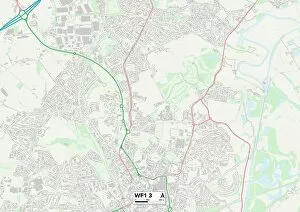
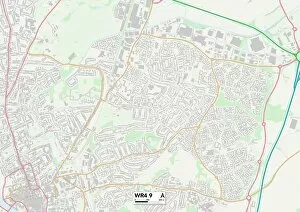
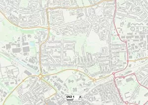
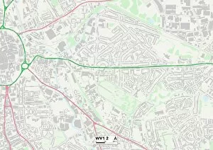
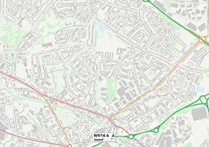
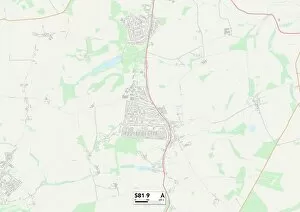
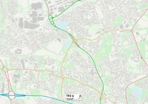
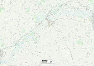
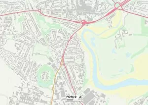
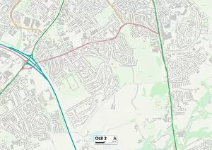
Laburnum Road is a vibrant and diverse street that stretches across various cities in the UK. From Wolverhampton to Wakefield, Wigan to Worcester, this road connects communities and brings people together. With its convenient location and easy access to major highways, Laburnum Road serves as a gateway for residents and visitors alike. In Wolverhampton WV4 6 Map, Laburnum Road is nestled amidst a bustling neighborhood filled with shops, restaurants, and entertainment options. It's the perfect place to explore local culture or grab a bite to eat with friends. Moving on to Wakefield WF1 3 Map, Laburnum Road continues its journey through this historic city known for its rich heritage. Here you can find charming cafes where you can enjoy a cup of coffee while admiring the beautiful architecture that surrounds you. As we travel further along Laburnum Road, we reach Wigan WA3 2 Map - an area renowned for its sporting spirit. Whether it's catching a rugby match at the nearby stadium or exploring nature trails in one of the many parks close by, there's something here for everyone. Next stop: Worcester WR4 9 Map. This picturesque city offers stunning views along Laburnum Road as it winds through tree-lined streets dotted with quaint cottages. Take a leisurely stroll or hop on your bike to discover hidden gems tucked away in this charming corner of England. Continuing our journey southward brings us to Swindon SN2 1 Map - an energetic town bursting with creativity and innovation. Laburnum Road acts as a hub connecting artists' studios, galleries showcasing local talent, and trendy boutiques offering unique finds. Heading westwards takes us to Walsall WS5 4 Map - an area steeped in history yet thriving with modern amenities. Along Laburnum Road here are community centers hosting events that celebrate diversity while bringing neighbors closer together.