Fraud Blocker Skip to main content

Jubilee Close Collection (page 2)

Discover the charm of Jubilee Close, a hidden gem in the heart of England

Background imageJubilee Close Collection: Brent NW10 9 Map

Brent NW10 9 Map
Postcode Sector Map of Brent NW10 9

Background imageJubilee Close Collection: Cherwell OX25 4 Map

Cherwell OX25 4 Map
Postcode Sector Map of Cherwell OX25 4

Background imageJubilee Close Collection: Barnet NW9 8 Map

Barnet NW9 8 Map
Postcode Sector Map of Barnet NW9 8

Background imageJubilee Close Collection: West Norfolk PE38 9 Map

West Norfolk PE38 9 Map
Postcode Sector Map of West Norfolk PE38 9

Background imageJubilee Close Collection: West Norfolk PE36 5 Map

West Norfolk PE36 5 Map
Postcode Sector Map of West Norfolk PE36 5

Background imageJubilee Close Collection: Huntingdonshire PE28 4 Map

Huntingdonshire PE28 4 Map
Postcode Sector Map of Huntingdonshire PE28 4

Background imageJubilee Close Collection: Wokingham RG5 4 Map

Wokingham RG5 4 Map
Postcode Sector Map of Wokingham RG5 4

Background imageJubilee Close Collection: Crawley RH6 9 Map

Crawley RH6 9 Map
Postcode Sector Map of Crawley RH6 9

Background imageJubilee Close Collection: Norfolk NR29 5 Map

Norfolk NR29 5 Map
Postcode Sector Map of Norfolk NR29 5

Background imageJubilee Close Collection: Norfolk NR11 7 Map

Norfolk NR11 7 Map
Postcode Sector Map of Norfolk NR11 7

Background imageJubilee Close Collection: Norfolk NR10 4 Map

Norfolk NR10 4 Map
Postcode Sector Map of Norfolk NR10 4

Background imageJubilee Close Collection: Daventry NN6 7 Map

Daventry NN6 7 Map
Postcode Sector Map of Daventry NN6 7

Background imageJubilee Close Collection: Northampton NN4 8 Map

Northampton NN4 8 Map
Postcode Sector Map of Northampton NN4 8

Background imageJubilee Close Collection: Bedford MK44 3 Map

Bedford MK44 3 Map
Postcode Sector Map of Bedford MK44 3

Background imageJubilee Close Collection: Rutland LE15 8 Map

Rutland LE15 8 Map
Postcode Sector Map of Rutland LE15 8

Background imageJubilee Close Collection: North Kesteven LN4 4 Map

North Kesteven LN4 4 Map
Postcode Sector Map of North Kesteven LN4 4

Background imageJubilee Close Collection: North Kesteven LN4 3 Map

North Kesteven LN4 3 Map
Postcode Sector Map of North Kesteven LN4 3

Background imageJubilee Close Collection: Lincoln LN3 5 Map

Lincoln LN3 5 Map
Postcode Sector Map of Lincoln LN3 5

Background imageJubilee Close Collection: Lincoln LN3 4 Map

Lincoln LN3 4 Map
Postcode Sector Map of Lincoln LN3 4

Background imageJubilee Close Collection: Lancaster LA6 2 Map

Lancaster LA6 2 Map
Postcode Sector Map of Lancaster LA6 2

Background imageJubilee Close Collection: Leicester LE7 1 Map

Leicester LE7 1 Map
Postcode Sector Map of Leicester LE7 1

Background imageJubilee Close Collection: Suffolk Coastal IP11 0 Map

Suffolk Coastal IP11 0 Map
Postcode Sector Map of Suffolk Coastal IP11 0

Background imageJubilee Close Collection: Mid Suffolk IP6 0 Map

Mid Suffolk IP6 0 Map
Postcode Sector Map of Mid Suffolk IP6 0

Background imageJubilee Close Collection: Rushmoor GU14 9 Map

Rushmoor GU14 9 Map
Postcode Sector Map of Rushmoor GU14 9

Background imageJubilee Close Collection: Liverpool L26 0 Map

Liverpool L26 0 Map
Postcode Sector Map of Liverpool L26 0

Background imageJubilee Close Collection: Hereford HR8 2 Map

Hereford HR8 2 Map
Postcode Sector Map of Hereford HR8 2

Background imageJubilee Close Collection: Suffolk Coastal IP17 2 Map

Suffolk Coastal IP17 2 Map
Postcode Sector Map of Suffolk Coastal IP17 2

Background imageJubilee Close Collection: St Edmundsbury IP31 3 Map

St Edmundsbury IP31 3 Map
Postcode Sector Map of St Edmundsbury IP31 3

Background imageJubilee Close Collection: Forest Heath IP27 0 Map

Forest Heath IP27 0 Map
Postcode Sector Map of Forest Heath IP27 0

Background imageJubilee Close Collection: Breckland IP24 3 Map

Breckland IP24 3 Map
Postcode Sector Map of Breckland IP24 3

Background imageJubilee Close Collection: Suffolk Coastal IP13 8 Map

Suffolk Coastal IP13 8 Map
Postcode Sector Map of Suffolk Coastal IP13 8

Background imageJubilee Close Collection: Dacorum HP2 5 Map

Dacorum HP2 5 Map
Postcode Sector Map of Dacorum HP2 5

Background imageJubilee Close Collection: East Riding of Yorkshire HU12 8 Map

East Riding of Yorkshire HU12 8 Map
Postcode Sector Map of East Riding of Yorkshire HU12 8

Background imageJubilee Close Collection: Exeter EX38 7 Map

Exeter EX38 7 Map
Postcode Sector Map of Exeter EX38 7

Background imageJubilee Close Collection: Gloucester GL55 6 Map

Gloucester GL55 6 Map
Postcode Sector Map of Gloucester GL55 6

Background imageJubilee Close Collection: Harrow HA5 3 Map

Harrow HA5 3 Map
Postcode Sector Map of Harrow HA5 3

Background imageJubilee Close Collection: Stroud GL11 5 Map

Stroud GL11 5 Map
Postcode Sector Map of Stroud GL11 5

Background imageJubilee Close Collection: Doncaster DN10 6 Map

Doncaster DN10 6 Map
Postcode Sector Map of Doncaster DN10 6

Background imageJubilee Close Collection: Cornwall EX23 9 Map

Cornwall EX23 9 Map
Postcode Sector Map of Cornwall EX23 9

Background imageJubilee Close Collection: Exeter EX20 1 Map

Exeter EX20 1 Map
Postcode Sector Map of Exeter EX20 1

Background imageJubilee Close Collection: Teignbridge EX6 8 Map

Teignbridge EX6 8 Map
Postcode Sector Map of Teignbridge EX6 8

Background imageJubilee Close Collection: Doncaster DN12 1 Map

Doncaster DN12 1 Map
Postcode Sector Map of Doncaster DN12 1

Background imageJubilee Close Collection: Derby DE73 8 Map

Derby DE73 8 Map
Postcode Sector Map of Derby DE73 8

Background imageJubilee Close Collection: Weymouth and Portland DT4 7 Map

Weymouth and Portland DT4 7 Map
Postcode Sector Map of Weymouth and Portland DT4 7

Background imageJubilee Close Collection: Tendring CO12 4 Map

Tendring CO12 4 Map
Postcode Sector Map of Tendring CO12 4

Background imageJubilee Close Collection: Dartford DA9 9 Map

Dartford DA9 9 Map
Postcode Sector Map of Dartford DA9 9

Background imageJubilee Close Collection: County Durham DH7 6 Map

County Durham DH7 6 Map
Postcode Sector Map of County Durham DH7 6

Background imageJubilee Close Collection: County Durham DL16 6 Map

County Durham DL16 6 Map
Postcode Sector Map of County Durham DL16 6


All Professionally Made to Order for Quick Shipping

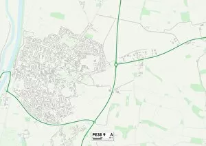
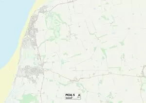
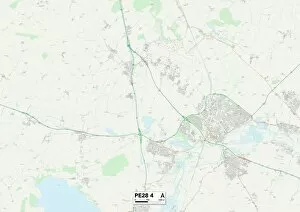
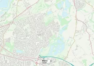
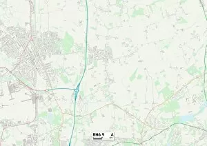
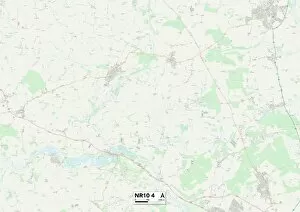
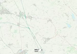
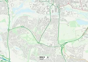
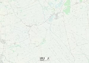
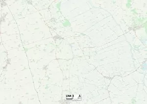
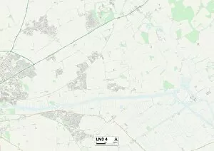
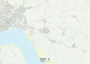
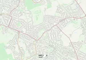
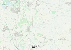
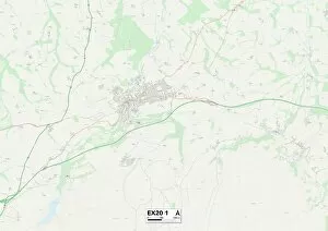
Discover the charm of Jubilee Close, a hidden gem in the heart of England. With its prime locations across York, Wiltshire, Chorley, Lincoln, Coventry, Horsham, Blackburn with Darwen, Cornwall (TR8 5 and TR17 0), Spelthorne, Eastleigh, and Somerset; this collection of neighborhoods offers something for everyone. In York's YO19 6 Map area, residents can enjoy a peaceful suburban lifestyle surrounded by picturesque landscapes. Meanwhile, Wiltshire's SP4 7 Map boasts stunning countryside views and easy access to local amenities. Chorley's PR6 7 Map is perfect for those seeking a close-knit community atmosphere with excellent schools and recreational facilities nearby. In Lincoln's LN6 9 Map neighborhood, history buffs will be delighted by its rich heritage sites and cultural attractions. Coventry's CV7 7 Map provides an ideal balance between city conveniences and tranquil living spaces. Horsham's BN5 9 Map offers a charming market town ambiance along with beautiful parks and gardens to explore. Blackburn with Darwen's BB3 3 Map showcases vibrant urban living combined with breathtaking natural beauty in the surrounding areas. Cornwall presents two unique locations: TR8 5 on the coast promises sandy beaches and coastal walks while TR17 O inland invites you to discover quaint villages steeped in Cornish tradition. Spelthorne’s TW19 7Map is an oasis for nature lovers who appreciate serene riverside settings amidst bustling city life. Eastleigh’s SO50 SMap strikes the perfect balance between modern amenities and green open spaces. Lastly but not leastly Somerset’s TA18 SMap region captivates visitors with its rolling hillsides dotted with idyllic cottages – truly a countryside lover’s dream come true. No matter which location captures your heart within Jubilee Close communities across England - you'll find a place to call home.