
John Son Collection
"John Bartholomew & Son: Mapping the World's Turbulent Times" Step into the past with John Bartholomew & Son


All Professionally Made to Order for Quick Shipping
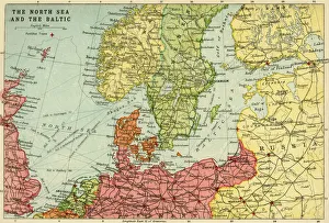
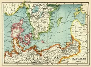
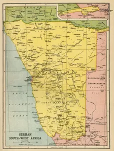
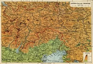
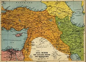
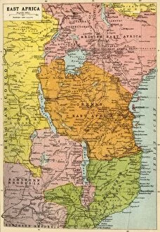
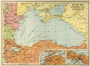
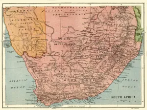
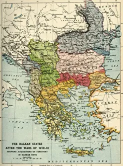
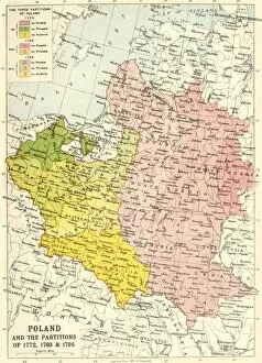
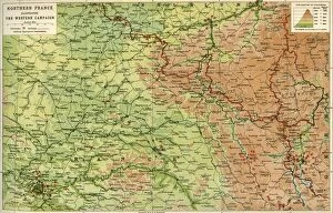
"John Bartholomew & Son: Mapping the World's Turbulent Times" Step into the past with John Bartholomew & Son, a renowned cartography company that captured the ever-changing geopolitical landscape of the early 20th century. Their intricate maps provide us with glimpses of historical events and conflicts that shaped our world today. Delve into their collection and explore "Map of the North Sea and the Baltic, c1914. " This captivating piece showcases strategic waterways during a time when tensions were brewing in Europe. Witness how this region played a crucial role in shaping naval operations during World War I. "The Baltic Sea and Its Approaches, First World War" offers further insight into this tumultuous period. Discover how nations maneuvered through treacherous waters to gain an upper hand in one of history's deadliest conflicts. Travel to distant lands with "Map of German South West Africa, First World War. " Uncover Germany's colonial ambitions as they clashed with Allied forces on African soil. Gain perspective on how these battles unfolded amidst vast landscapes. "Austria-Hungary and Neighbouring Lands - Map, 1920" sheds light on post-war Europe. Witness borders redrawn after empires crumbled, marking new beginnings for nations grappling with newfound independence. Venture southward to Africa with "Political Map of Africa, 1914. " Explore European colonies jostling for power across this vast continent before decolonization swept through decades later. Discover another theater of war through "Map of the Austro-Italian frontier, First World War. " Observe key battlegrounds where soldiers fought fiercely over contested territories between Austria-Hungary and Italy. Journey eastwards to Asia Minor, Caucasus Region, and Mesopotamia during WWI using their map from c1915. Understand how imperial powers vied for control over these regions amidst political upheaval and territorial disputes.