
John Bartholomew Son Collection
"Exploring the World through John Bartholomew & Son: A Journey of Maps and History" Step into a world of cartographic wonders with John Bartholomew & Son


All Professionally Made to Order for Quick Shipping
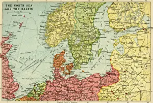
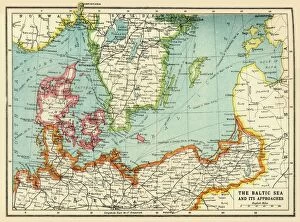
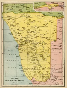
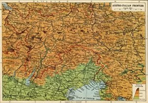
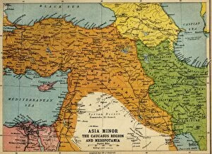
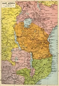
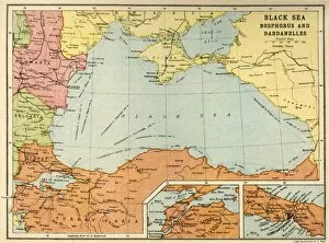
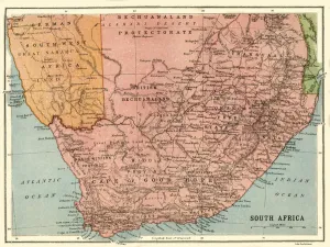
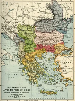
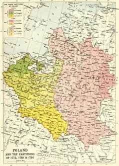
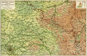
"Exploring the World through John Bartholomew & Son: A Journey of Maps and History" Step into a world of cartographic wonders with John Bartholomew & Son, a renowned creator of maps during the early 20th century. Their collection showcases an array of captivating maps that shed light on significant historical events and geographical landscapes. Delve into the depths of maritime history as you explore their Map of the North Sea and Baltic from around 1914. This intricate depiction offers a glimpse into the bustling trade routes and strategic importance these waters held during that time. Travel back to the tumultuous era of World War I with The Baltic Sea and Its Approaches map, crafted in 1915. Discover how this region became a battleground for naval supremacy, where nations fought fiercely for control amidst treacherous waters. Uncover forgotten chapters in Africa's past as you peruse their Political Map of Africa from 1914. Witness borders shifting, colonial powers vying for dominance, and indigenous cultures navigating through turbulent times - all captured within this single piece. Witness Europe's transformation after World War I with Austria-Hungary and Neighbouring Lands - Map from 1920. Marvel at how political boundaries were redrawn, empires crumbled, giving birth to new nations while leaving lasting imprints on regional dynamics. Immerse yourself in conflicts afar with Asia Minor, Caucasus Region, and Mesopotamia map created during World War I. Traverse battlefields where empires clashed against each other while local populations yearned for independence amid chaos. Embark on an expedition across East Africa through their First World War-era map from approximately 1920. Unearth tales of bravery as European powers sought control over vast territories rich in resources while encountering resistance from native communities fighting to preserve their way of life. Navigate through Black Sea's Bosphorus and Dardanelles using Bartholomew & Son's map from around 1914.