Fraud Blocker Skip to main content

Ivy Lane Collection

Ivy Lane: A Journey Through Time and Space Step into the enchanting world of Ivy Lane

Background imageIvy Lane Collection: Cheshire East SK11 8 Map

Cheshire East SK11 8 Map
Postcode Sector Map of Cheshire East SK11 8

Background imageIvy Lane Collection: Horsham RH20 3 Map

Horsham RH20 3 Map
Postcode Sector Map of Horsham RH20 3

Background imageIvy Lane Collection: Wellingborough NN9 5 Map

Wellingborough NN9 5 Map
Postcode Sector Map of Wellingborough NN9 5

Background imageIvy Lane Collection: Milton Keynes MK17 9 Map

Milton Keynes MK17 9 Map
Postcode Sector Map of Milton Keynes MK17 9

Background imageIvy Lane Collection: Aylesbury Vale HP22 5 Map

Aylesbury Vale HP22 5 Map
Postcode Sector Map of Aylesbury Vale HP22 5

Background imageIvy Lane Collection: Cleared site of buildings destroyed by German bombing during the Blitz, City of London

Cleared site of buildings destroyed by German bombing during the Blitz, City of London, World War II (photo)
6015152 Cleared site of buildings destroyed by German bombing during the Blitz, City of London, World War II (photo) by English Photographer

Background imageIvy Lane Collection: Ivy Lane (litho)

Ivy Lane (litho)
2780273 Ivy Lane (litho) by Stapleton, Alan (active 1920-1929); Private Collection; (add.info.: Ivy Lane. Illustration for London Alleys)

Background imageIvy Lane Collection: Cannock Chase WS15 4 Map

Cannock Chase WS15 4 Map
Postcode Sector Map of Cannock Chase WS15 4

Background imageIvy Lane Collection: Wakefield WF1 4 Map

Wakefield WF1 4 Map
Postcode Sector Map of Wakefield WF1 4

Background imageIvy Lane Collection: Worcester WR3 8 Map

Worcester WR3 8 Map
Postcode Sector Map of Worcester WR3 8

Background imageIvy Lane Collection: Cornwall TR18 4 Map

Cornwall TR18 4 Map
Postcode Sector Map of Cornwall TR18 4

Background imageIvy Lane Collection: Eastleigh SO30 3 Map

Eastleigh SO30 3 Map
Postcode Sector Map of Eastleigh SO30 3

Background imageIvy Lane Collection: Swindon SN26 7 Map

Swindon SN26 7 Map
Postcode Sector Map of Swindon SN26 7

Background imageIvy Lane Collection: North Hertfordshire SG8 5 Map

North Hertfordshire SG8 5 Map
Postcode Sector Map of North Hertfordshire SG8 5

Background imageIvy Lane Collection: Wiltshire SN15 1 Map

Wiltshire SN15 1 Map
Postcode Sector Map of Wiltshire SN15 1

Background imageIvy Lane Collection: Wychavon WR11 7 Map

Wychavon WR11 7 Map
Postcode Sector Map of Wychavon WR11 7

Background imageIvy Lane Collection: Sheffield S20 1 Map

Sheffield S20 1 Map
Postcode Sector Map of Sheffield S20 1

Background imageIvy Lane Collection: Bromley TN14 7 Map

Bromley TN14 7 Map
Postcode Sector Map of Bromley TN14 7

Background imageIvy Lane Collection: Hounslow TW4 5 Map

Hounslow TW4 5 Map
Postcode Sector Map of Hounslow TW4 5

Background imageIvy Lane Collection: Hampshire PO1 3 Map

Hampshire PO1 3 Map
Postcode Sector Map of Hampshire PO1 3

Background imageIvy Lane Collection: Staffordshire ST7 2 Map

Staffordshire ST7 2 Map
Postcode Sector Map of Staffordshire ST7 2

Background imageIvy Lane Collection: Sevenoaks TN3 9 Map

Sevenoaks TN3 9 Map
Postcode Sector Map of Sevenoaks TN3 9

Background imageIvy Lane Collection: Teignbridge TQ14 8 Map

Teignbridge TQ14 8 Map
Postcode Sector Map of Teignbridge TQ14 8

Background imageIvy Lane Collection: East Lindsey PE24 4 Map

East Lindsey PE24 4 Map
Postcode Sector Map of East Lindsey PE24 4

Background imageIvy Lane Collection: Cherwell OX17 1 Map

Cherwell OX17 1 Map
Postcode Sector Map of Cherwell OX17 1

Background imageIvy Lane Collection: Cherwell OX15 6 Map

Cherwell OX15 6 Map
Postcode Sector Map of Cherwell OX15 6

Background imageIvy Lane Collection: Oxford OX3 9 Map

Oxford OX3 9 Map
Postcode Sector Map of Oxford OX3 9

Background imageIvy Lane Collection: Suffolk NR33 8 Map

Suffolk NR33 8 Map
Postcode Sector Map of Suffolk NR33 8

Background imageIvy Lane Collection: Sussex PO22 8 Map

Sussex PO22 8 Map
Postcode Sector Map of Sussex PO22 8

Background imageIvy Lane Collection: Sussex PO20 3 Map

Sussex PO20 3 Map
Postcode Sector Map of Sussex PO20 3

Background imageIvy Lane Collection: Bedford MK45 3 Map

Bedford MK45 3 Map
Postcode Sector Map of Bedford MK45 3

Background imageIvy Lane Collection: Milton Keynes MK17 0 Map

Milton Keynes MK17 0 Map
Postcode Sector Map of Milton Keynes MK17 0

Background imageIvy Lane Collection: Lincoln LN11 7 Map

Lincoln LN11 7 Map
Postcode Sector Map of Lincoln LN11 7

Background imageIvy Lane Collection: Gateshead NE9 6 Map

Gateshead NE9 6 Map
Postcode Sector Map of Gateshead NE9 6

Background imageIvy Lane Collection: Broxtowe NG16 3 Map

Broxtowe NG16 3 Map
Postcode Sector Map of Broxtowe NG16 3

Background imageIvy Lane Collection: Central Bedfordshire LU7 0 Map

Central Bedfordshire LU7 0 Map
Postcode Sector Map of Central Bedfordshire LU7 0

Background imageIvy Lane Collection: North Kesteven LN4 4 Map

North Kesteven LN4 4 Map
Postcode Sector Map of North Kesteven LN4 4

Background imageIvy Lane Collection: Leeds LS23 6 Map

Leeds LS23 6 Map
Postcode Sector Map of Leeds LS23 6

Background imageIvy Lane Collection: Woking GU22 7 Map

Woking GU22 7 Map
Postcode Sector Map of Woking GU22 7

Background imageIvy Lane Collection: Calderdale HX2 8 Map

Calderdale HX2 8 Map
Postcode Sector Map of Calderdale HX2 8

Background imageIvy Lane Collection: Highland IV19 1 Map

Highland IV19 1 Map
Postcode Sector Map of Highland IV19 1

Background imageIvy Lane Collection: Fife KY1 2 Map

Fife KY1 2 Map
Postcode Sector Map of Fife KY1 2

Background imageIvy Lane Collection: East Riding of Yorkshire HU12 8 Map

East Riding of Yorkshire HU12 8 Map
Postcode Sector Map of East Riding of Yorkshire HU12 8

Background imageIvy Lane Collection: Waverley GU9 7 Map

Waverley GU9 7 Map
Postcode Sector Map of Waverley GU9 7

Background imageIvy Lane Collection: East Riding of Yorkshire DN14 9 Map

East Riding of Yorkshire DN14 9 Map
Postcode Sector Map of East Riding of Yorkshire DN14 9

Background imageIvy Lane Collection: Stratford-on-Avon CV37 7 Map

Stratford-on-Avon CV37 7 Map
Postcode Sector Map of Stratford-on-Avon CV37 7

Background imageIvy Lane Collection: Derbyshire Dales DE4 2 Map

Derbyshire Dales DE4 2 Map
Postcode Sector Map of Derbyshire Dales DE4 2

Background imageIvy Lane Collection: Wirral CH46 8 Map

Wirral CH46 8 Map
Postcode Sector Map of Wirral CH46 8


All Professionally Made to Order for Quick Shipping

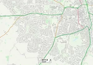
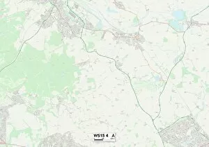
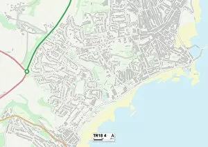
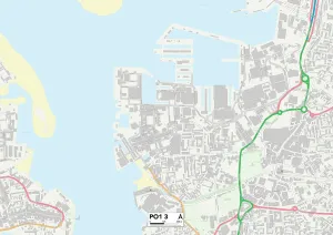
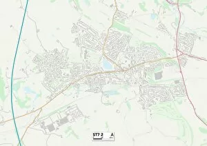
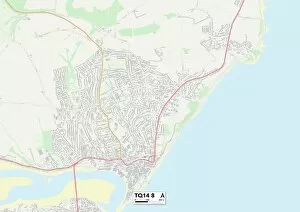
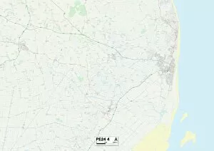
Ivy Lane: A Journey Through Time and Space Step into the enchanting world of Ivy Lane, a place that transcends geographical boundaries and takes you on a captivating journey through history. From Cheshire East to Cornwall, this 150-word caption will transport you to various locations where Ivy Lane has left its mark. In Cheshire East's SK11 8 Map, Ivy Lane whispers secrets from centuries past. Follow its trail to Horsham RH20 3 Map, where it weaves tales of forgotten folklore amidst picturesque landscapes. Milton Keynes MK17 9 Map unveils a modern twist with Ivy Lane intertwining seamlessly in contemporary architecture. Venture further to Aylesbury Vale HP22 5 Map, where the echoes of World War II resonate through the cleared site of buildings destroyed by German bombing during the Blitz in City of London. An evocative photo captures this poignant moment. But Ivy Lane is not confined to photographs; it springs forth as an ethereal litho artwork in Cannock Chase WS15 4 Map and Wakefield WF1 4 Map. Worcester WR3 8 Map welcomes visitors with open arms as they explore its historical significance alongside the presence of Ivy Lane. Cornwall TR18 4 Map beckons adventurers seeking solace amidst rugged beauty while Eastleigh SO30 3 map offers respite within its charming streets adorned with ivy-covered facades. Finally, Swindon SN26 7 map reveals how nature reclaims what was once man-made as Ivy lane thrives against all odds. Join us on this extraordinary expedition through time and space as we unravel the mysteries hidden within each location along Ivy Lane's path.