Fraud Blocker Skip to main content

Ivy Close Collection

"Ivy Close: A Serene Haven in the Heart of England" Nestled amidst picturesque landscapes

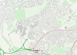
Background imageIvy Close Collection: Watford WD25 7 Map

Watford WD25 7 Map
Postcode Sector Map of Watford WD25 7

Background imageIvy Close Collection: Horsham RH20 3 Map

Horsham RH20 3 Map
Postcode Sector Map of Horsham RH20 3

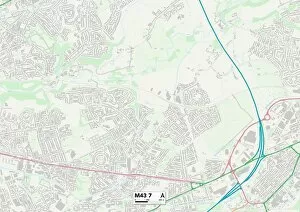
Background imageIvy Close Collection: Tameside M43 7 Map

Tameside M43 7 Map
Postcode Sector Map of Tameside M43 7

Background imageIvy Close Collection: Rugby CV22 7 Map

Rugby CV22 7 Map
Postcode Sector Map of Rugby CV22 7

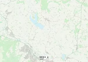
Background imageIvy Close Collection: Cannock Chase WS15 3 Map

Cannock Chase WS15 3 Map
Postcode Sector Map of Cannock Chase WS15 3

Background imageIvy Close Collection: Wakefield WF1 4 Map

Wakefield WF1 4 Map
Postcode Sector Map of Wakefield WF1 4

Background imageIvy Close Collection: North Yorkshire YO51 9 Map

North Yorkshire YO51 9 Map
Postcode Sector Map of North Yorkshire YO51 9

Background imageIvy Close Collection: Spelthorne TW16 5 Map

Spelthorne TW16 5 Map
Postcode Sector Map of Spelthorne TW16 5

Background imageIvy Close Collection: New Forest SO40 3 Map

New Forest SO40 3 Map
Postcode Sector Map of New Forest SO40 3

Background imageIvy Close Collection: Eastleigh SO32 2 Map

Eastleigh SO32 2 Map
Postcode Sector Map of Eastleigh SO32 2

Background imageIvy Close Collection: Staffordshire ST17 0 Map

Staffordshire ST17 0 Map
Postcode Sector Map of Staffordshire ST17 0

Background imageIvy Close Collection: Staffordshire ST14 7 Map

Staffordshire ST14 7 Map
Postcode Sector Map of Staffordshire ST14 7

Background imageIvy Close Collection: Staffordshire ST11 9 Map

Staffordshire ST11 9 Map
Postcode Sector Map of Staffordshire ST11 9

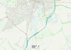
Background imageIvy Close Collection: Winchester SO23 9 Map

Winchester SO23 9 Map
Postcode Sector Map of Winchester SO23 9

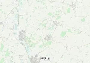
Background imageIvy Close Collection: Central Bedfordshire SG19 2 Map

Central Bedfordshire SG19 2 Map
Postcode Sector Map of Central Bedfordshire SG19 2

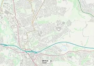
Background imageIvy Close Collection: Tameside SK14 4 Map

Tameside SK14 4 Map
Postcode Sector Map of Tameside SK14 4

Background imageIvy Close Collection: Lichfield WS7 3 Map

Lichfield WS7 3 Map
Postcode Sector Map of Lichfield WS7 3

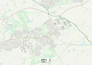
Background imageIvy Close Collection: Wakefield WF9 2 Map

Wakefield WF9 2 Map
Postcode Sector Map of Wakefield WF9 2

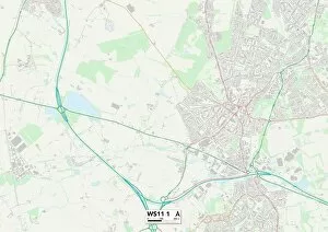
Background imageIvy Close Collection: Cannock Chase WS11 1 Map

Cannock Chase WS11 1 Map
Postcode Sector Map of Cannock Chase WS11 1

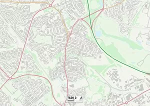
Background imageIvy Close Collection: Stockton-on-Tees TS20 2 Map

Stockton-on-Tees TS20 2 Map
Postcode Sector Map of Stockton-on-Tees TS20 2

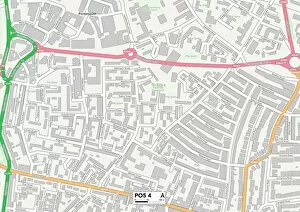
Background imageIvy Close Collection: Hampshire PO5 4 Map

Hampshire PO5 4 Map
Postcode Sector Map of Hampshire PO5 4

Background imageIvy Close Collection: Chesterfield S41 9 Map

Chesterfield S41 9 Map
Postcode Sector Map of Chesterfield S41 9

Background imageIvy Close Collection: Chesterfield S43 4 Map

Chesterfield S43 4 Map
Postcode Sector Map of Chesterfield S43 4

Background imageIvy Close Collection: South Buckinghamshire SL6 2 Map

South Buckinghamshire SL6 2 Map
Postcode Sector Map of South Buckinghamshire SL6 2

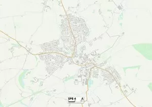
Background imageIvy Close Collection: North Dorset SP8 4 Map

North Dorset SP8 4 Map
Postcode Sector Map of North Dorset SP8 4

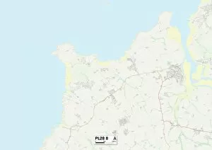
Background imageIvy Close Collection: Cornwall PL28 8 Map

Cornwall PL28 8 Map
Postcode Sector Map of Cornwall PL28 8

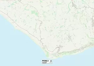
Background imageIvy Close Collection: Isle of Wight PO38 2 Map

Isle of Wight PO38 2 Map
Postcode Sector Map of Isle of Wight PO38 2

Background imageIvy Close Collection: South Oxfordshire OX11 6 Map

South Oxfordshire OX11 6 Map
Postcode Sector Map of South Oxfordshire OX11 6

Background imageIvy Close Collection: Oxford OX4 2 Map

Oxford OX4 2 Map
Postcode Sector Map of Oxford OX4 2

Background imageIvy Close Collection: Oldham OL2 7 Map

Oldham OL2 7 Map
Postcode Sector Map of Oldham OL2 7

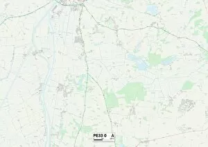
Background imageIvy Close Collection: West Norfolk PE33 0 Map

West Norfolk PE33 0 Map
Postcode Sector Map of West Norfolk PE33 0

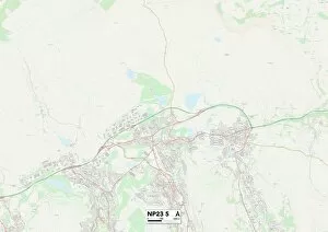
Background imageIvy Close Collection: Blaenau Gwent NP23 5 Map

Blaenau Gwent NP23 5 Map
Postcode Sector Map of Blaenau Gwent NP23 5

Background imageIvy Close Collection: South Ribble PR25 5 Map

South Ribble PR25 5 Map
Postcode Sector Map of South Ribble PR25 5

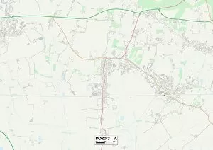
Background imageIvy Close Collection: Sussex PO20 3 Map

Sussex PO20 3 Map
Postcode Sector Map of Sussex PO20 3

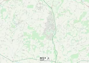
Background imageIvy Close Collection: Horsham RH13 9 Map

Horsham RH13 9 Map
Postcode Sector Map of Horsham RH13 9

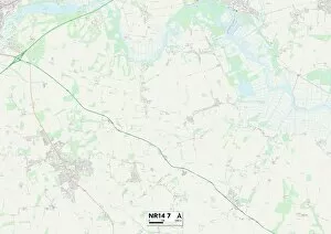
Background imageIvy Close Collection: Norfolk NR14 7 Map

Norfolk NR14 7 Map
Postcode Sector Map of Norfolk NR14 7

Background imageIvy Close Collection: Milton Keynes MK16 9 Map

Milton Keynes MK16 9 Map
Postcode Sector Map of Milton Keynes MK16 9

Background imageIvy Close Collection: Aylesbury Vale MK18 5 Map

Aylesbury Vale MK18 5 Map
Postcode Sector Map of Aylesbury Vale MK18 5

Background imageIvy Close Collection: Maidstone ME17 3 Map

Maidstone ME17 3 Map
Postcode Sector Map of Maidstone ME17 3

Background imageIvy Close Collection: Northumberland NE61 5 Map

Northumberland NE61 5 Map
Postcode Sector Map of Northumberland NE61 5

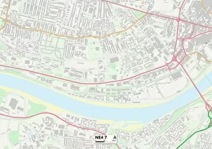
Background imageIvy Close Collection: Newcastle NE4 7 Map

Newcastle NE4 7 Map
Postcode Sector Map of Newcastle NE4 7

Background imageIvy Close Collection: Broxtowe NG16 1 Map

Broxtowe NG16 1 Map
Postcode Sector Map of Broxtowe NG16 1

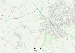
Background imageIvy Close Collection: Central Bedfordshire LU6 1 Map

Central Bedfordshire LU6 1 Map
Postcode Sector Map of Central Bedfordshire LU6 1

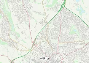
Background imageIvy Close Collection: Wrexham LL11 2 Map

Wrexham LL11 2 Map
Postcode Sector Map of Wrexham LL11 2

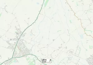
Background imageIvy Close Collection: West Lancashire L40 4 Map

West Lancashire L40 4 Map
Postcode Sector Map of West Lancashire L40 4

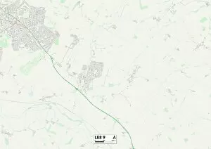
Background imageIvy Close Collection: Leicester LE8 9 Map

Leicester LE8 9 Map
Postcode Sector Map of Leicester LE8 9

Background imageIvy Close Collection: Wycombe HP27 9 Map

Wycombe HP27 9 Map
Postcode Sector Map of Wycombe HP27 9

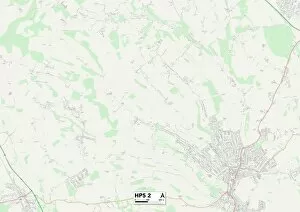
Background imageIvy Close Collection: Chiltern HP5 2 Map

Chiltern HP5 2 Map
Postcode Sector Map of Chiltern HP5 2


All Professionally Made to Order for Quick Shipping

"Ivy Close: A Serene Haven in the Heart of England" Nestled amidst picturesque landscapes, a collection of idyllic residential neighborhoods scattered across various locations. From the charming town of Watford (WD25 7) to the tranquil Horsham (RH20 3), this enchanting community offers an array of delightful settings for residents to call home. Embark on a journey through Tameside (M43 7), where nature's beauty intertwines with modern living. Explore Cannock Chase (WS15 3), a haven for outdoor enthusiasts seeking adventure and tranquility. Discover Wakefield's (WF1 4) vibrant streets, pulsating with culture and history. Venture further into North Yorkshire's (YO51 9) captivating countryside, where rolling hills meet quaint villages steeped in tradition. Unwind by the serene waterscapes of Spelthorne (TW16 5), offering respite from bustling city life. Escape to New Forest's (SO40 3) lush woodlands, where ancient trees whisper tales of old. Find solace in Eastleigh's (SO32 2) peaceful surroundings, providing a sanctuary away from the chaos. Experience Staffordshire's charm as you navigate its diverse regions: ST17 0 unveils hidden gems waiting to be discovered; ST14 7 boasts historic landmarks that stand as testaments to time; while ST11 invites you into its welcoming embrace. Ivy Close weaves together these remarkable locations into one tapestry, creating an extraordinary community that embraces diversity and fosters connection among neighbors. Whether you seek tranquility or adventure, Ivy Close promises an unparalleled lifestyle surrounded by natural beauty and rich heritage. Come home to Ivy Close – your gateway to discovering England’s hidden treasures.