
Global Positioning System Collection
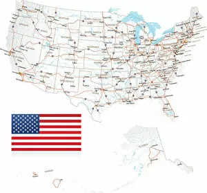
The global positioning system (GPS) is a highly detailed USA road map that has revolutionized navigation and travel


All Professionally Made to Order for Quick Shipping
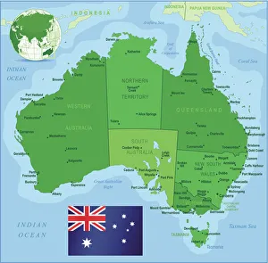
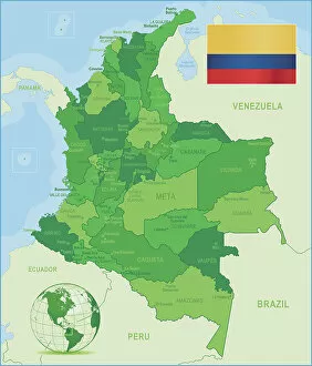
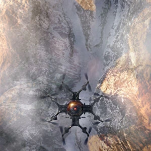
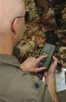
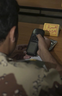
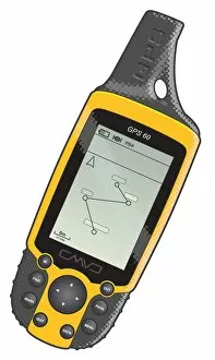
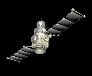
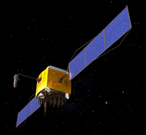
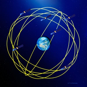
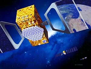
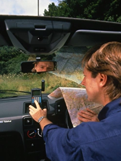
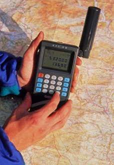
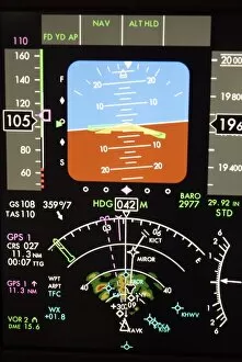
The global positioning system (GPS) is a highly detailed USA road map that has revolutionized navigation and travel. With its accurate depiction of states, cities, and even flags, it provides users with access to precise location information. Not limited to the United States, GPS also encompasses maps of other countries like Australia. Its comprehensive representation includes state boundaries, city locations, and the national flag. This allows for seamless navigation across the vast Australian landscape. Colombia's green map is another example of how GPS aids in providing assistance and access to geographical information. By displaying states, cities, and the Colombian flag, this map enables users to navigate through Colombia's diverse terrain with ease. In 1994, Garmin International introduced their groundbreaking prototype - the Garmin GPS 155. This device marked a significant milestone in GPS technology development as it paved the way for future advancements in aviation navigation systems. While traditionally associated with maps and devices, GPS extends beyond physical representations. It assists various industries such as cloud computing by providing accurate location data for enhanced services. Computer-generated graphics further enhance our understanding of GPS capabilities. Through vibrant color images and intricate details displayed on screens or printed materials alike; we can visualize aerial views from aircraft or drones over Australia using advanced 3D technology. Abstract designs featuring blue dotted lines against a light backdrop showcase the versatility of GPS applications. These studio shots highlight how this technology transcends traditional mapping purposes by incorporating innovative concepts into its functionality. From land-based activities to agriculture practices like canola harvests - farmers rely on GPS systems for precision guidance while driving combines or other machinery during their daily operations. Amidst all these technological marvels lies an appreciation for nature's wonders too. The spectacled bear (Tremarctos ornatus), native to South America including Colombia where one variant resides; reminds us that even amidst cutting-edge advancements like GPS – wildlife conservation remains essential.