
Franklin Street Collection
Franklin Street, a name that echoes through various locations across the globe, holds significance in different contexts and landscapes


All Professionally Made to Order for Quick Shipping
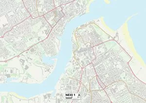
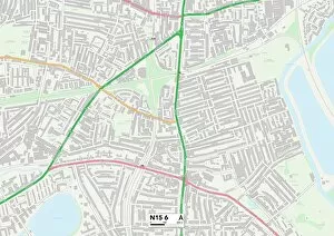
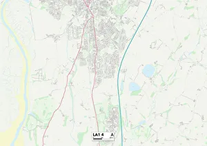
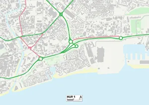
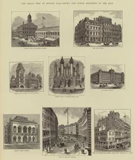
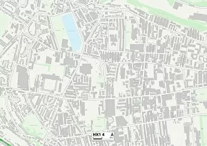
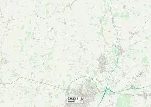
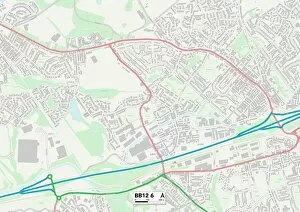
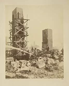
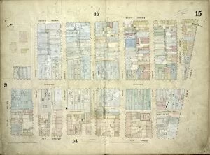
Franklin Street, a name that echoes through various locations across the globe, holds significance in different contexts and landscapes. From South Tyneside to Northampton, Haringey to Lancaster, Barrow-in-Furness to Kingston upon Hull, this street connects communities and weaves stories of its own. In South Tyneside's NE33 1 Map, Franklin Street stands as an emblem of unity and diversity, and is a place where cultures converge and friendships are forged. The vibrant energy pulsates through every corner as residents come together to celebrate their shared heritage. Moving southwards to Northampton's NN5 5 Map, Franklin Street becomes a symbol of resilience. Here lies a neighborhood that has weathered storms but emerged stronger than ever before. The spirit of community shines bright on this street as neighbors support one another through thick and thin. Venturing further down towards Haringey's N15 6 Map reveals Franklin Street as a hub for creativity and innovation. Artists find solace in its alleys while entrepreneurs breathe life into their dreams within its buildings. This street serves as an incubator for talent, fostering growth and pushing boundaries. Lancaster's LA1 4 Map showcases Franklin Street amidst historical grandeur. Its architecture tells tales of bygone eras when progress was marked by towering structures like I M Singer & Cos Sewing Machine Manufactory at the corner of Centre and Franklin Streets in New York City (engraving). These engravings transport us back in time when craftsmanship thrived alongside industrialization. Meanwhile, Barrow-in-Furness' LA14 1 Map presents Franklin Street as a testament to resilience against adversity. Memories linger from The Great Fire at Boston (engraving), reminding us how communities can rebuild even after facing destruction head-on. As we journey eastward towards Kingston upon Hull's HU9 1 Map, Broadway comes alive with bustling activity on a Sunday.