
Forest Close Collection
Discover the enchanting beauty of Forest Close, a hidden gem nestled in various locations across the UK


All Professionally Made to Order for Quick Shipping
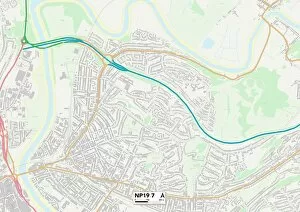
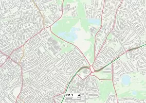
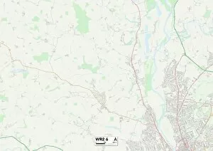
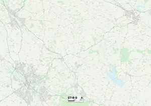
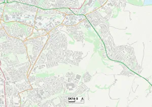
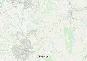
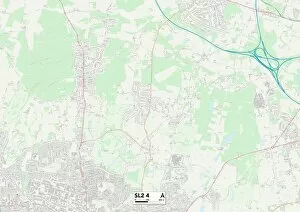
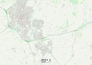
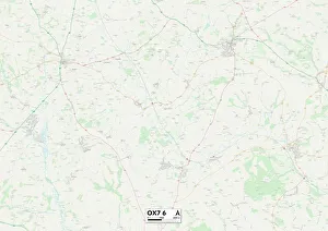
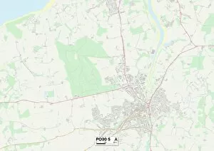
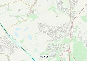
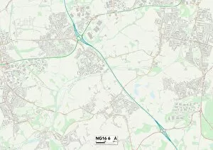
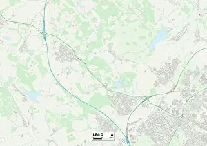
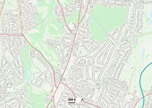
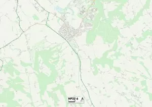
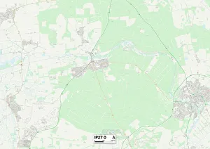
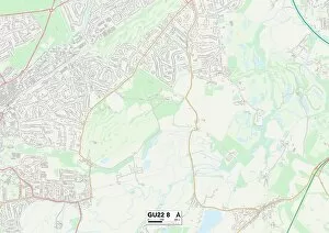
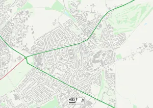
Discover the enchanting beauty of Forest Close, a hidden gem nestled in various locations across the UK. From Newport's tranquil NP19 7 Map to Waltham Forest's vibrant E11 1 Map, each destination offers its own unique charm and allure. Immerse yourself in nature's embrace as you explore Wakefield's WF1 4 Map or Worcester's WR2 6 Map, where lush greenery and towering trees create an idyllic backdrop for your adventures. Escape the hustle and bustle of city life as you wander through Eastleigh's serene SO32 2 Map or Staffordshire's picturesque ST18 0 Map. Lose yourself amidst Tameside’s SK16 5 Map or Cheshire East’s SK10 5 Map, where dense forests invite you to embark on unforgettable journeys. Uncover history and tranquility hand-in-hand at York’s captivating YO32 2 map or Hampshire’s PO8 8 map – destinations that seamlessly blend natural wonders with rich cultural heritage. And don't forget to explore the scenic landscapes of Hampshire RG26 5 map or Staffordshire ST5 3 map, where breathtaking vistas await around every corner. Whether you seek solace in nature, crave adventure among towering trees, or simply wish to reconnect with your inner peace surrounded by verdant beauty – Forest Close is your gateway to a world brimming with natural splendor. So pack your bags and let these maps guide you towards unforgettable experiences that will leave lasting memories.