
Ferry Road Collection
"Ferry Road: A Journey Through Time and Space" Step into the past as we explore the captivating history of Ferry Road, Grangetown, Cardiff in January 1985


All Professionally Made to Order for Quick Shipping
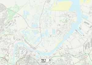
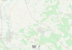
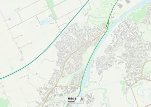
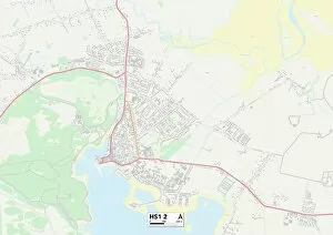
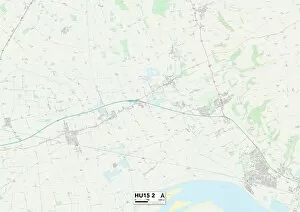
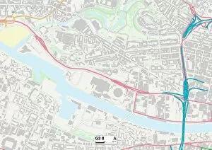
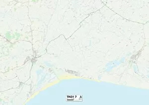
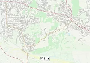
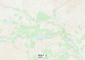
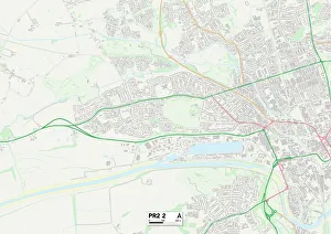
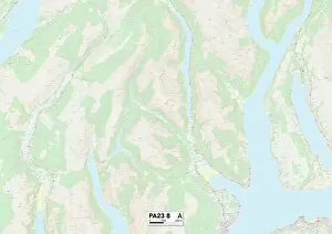
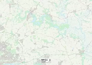
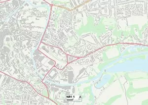
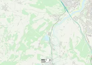
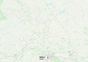
"Ferry Road: A Journey Through Time and Space" Step into the past as we explore the captivating history of Ferry Road, Grangetown, Cardiff in January 1985. This quaint neighborhood has witnessed countless stories unfold within its charming houses. Venture further afield to Hartlepool TS24 0 Map, where another Ferry Road awaits. Discover the hidden gems nestled along this map's path in West Norfolk PE34 4 Map and West Norfolk PE33 9 Map. Each turn reveals a unique tale waiting to be unraveled. Travel south to South Oxfordshire RG8 0 Map and let your imagination run wild amidst picturesque landscapes. Explore the enchanting surroundings that have inspired generations of dreamers. Journey onwards to Salford M44 6 Map, East Riding of Yorkshire HU15 2 Map, Glasgow G3 8 Map, and Poole BH15 4 Map—each destination offering its own distinct flavor and character. These diverse locations paint a vivid picture of life along various Ferry Roads across the United Kingdom. Delve deeper into history as you stumble upon Number 19 Ferry Road, Grangetown, Cardiff—a dwelling left untouched since an enigmatic time before even1950. What secrets lie behind its doors? The mystery beckons all who pass by. Continue your expedition through Middlesbrough TS2 1Map and Rother TN31-7Map—two more stops on our journey through different corners of England's landscape. Uncover their unique stories etched into every street corner. Ferry Road is not just a name; it symbolizes a connection between people and places throughout time. Join us on this remarkable voyage as we traverse these maps filled with tales waiting to be discovered at every turn.