
Ferndale Road Collection
Discover the hidden gems of Ferndale Road, a charming street that stretches across various locations in the UK


All Professionally Made to Order for Quick Shipping
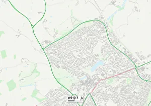
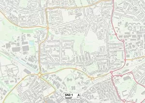
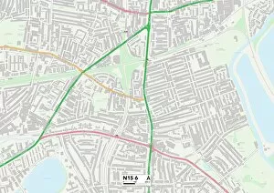
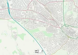
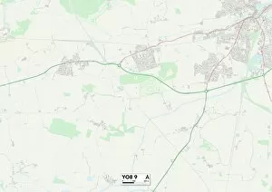
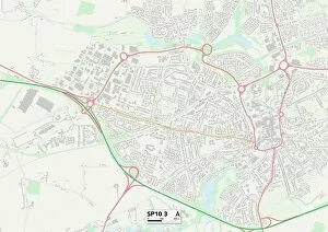
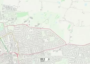
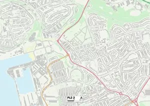
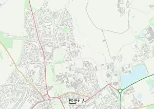
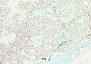
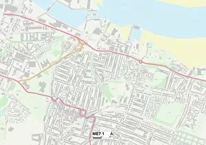
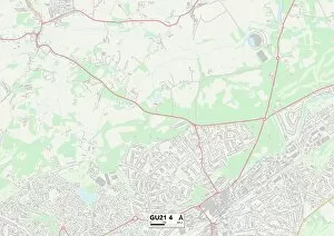
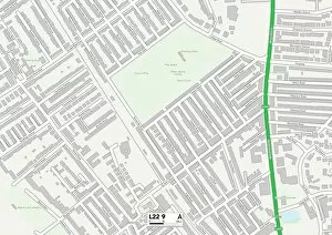
Discover the hidden gems of Ferndale Road, a charming street that stretches across various locations in the UK. From Lichfield's WS13 7 Map to Lambeth's SW4 7 Map, this road connects communities and offers something unique at every turn. In Wolverhampton's WV11 2 Map, a bustling hub filled with local shops and friendly faces. Take a stroll through its vibrant streets and immerse yourself in the lively atmosphere. Travel further south to Swindon's SN2 1 Map, where Ferndale Road welcomes you with open arms. Here, you'll find an array of quaint cafes and boutiques that will satisfy your cravings for both food and retail therapy. Venturing into Haringey's N15 6 Map brings you to another section of Ferndale Road. This part of town boasts stunning architecture and picturesque parks, providing the perfect backdrop for leisurely walks or peaceful picnics. Luton's LU1 1 Map also features a slice magic. Explore its diverse cultural scene as you wander through art galleries showcasing local talent or indulge in international cuisine at one of its many restaurants. Heading northwards towards Conwy's LL31 9 Map reveals yet another facet of Ferndale Road’s charm. The area is steeped in history, with ancient castles standing proudly against breathtaking coastal views – an ideal destination for history enthusiasts and nature lovers alike. Transporting us back to London once more is an advert for Clapham and Brixton Baths on Ferndale Road in Shepherds Lane, Brixton (London), featuring Captain Boyton (engraving). This captivating image invites visitors to dive into relaxation while enjoying all the amenities these baths have to offer. York’s YO8 9 Map showcases yet another stretch of this versatile road.