
Extent Collection
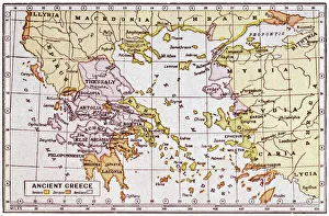
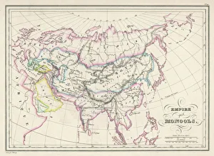
From the cradle of democracy in Ancient Greece to the vast Mongol Empire, history unveils the extent of human ambition and conquest


All Professionally Made to Order for Quick Shipping
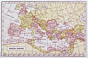
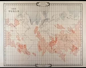
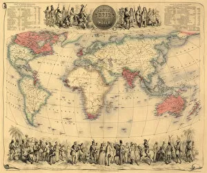
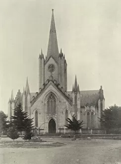
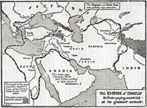
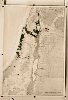
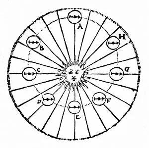
From the cradle of democracy in Ancient Greece to the vast Mongol Empire, history unveils the extent of human ambition and conquest. Explore the rise and fall of empires through maps that chronicle their reach: behold the grandeur of the Roman Empire, witness Britain's global dominance with its 1902 empire map. Delve into legends like Lemuria, a lost continent shrouded in mystery. Discover trade routes as you trace the Hanseatic League's extent in 1400. Reflect on societal changes with 'Ploughing up England' or marvel at London's intricate streets on a detailed city map. Witness nature's fury as Norwich succumbs to floods in 1912. Immerse yourself in an era where red marked British possessions across continents circa 1870. Lastly, glimpse into religious influence with black-and-white portraits capturing bishops who shaped both Britain and its empire. These captivating maps and images encapsulate humanity’s relentless pursuit for power, knowledge, and expansion throughout time.