
Exploring Collection (page 3)
"Embarking on a Journey of Discovery: Exploring the Depths of the Unknown" Apollo 17 astronaut floating in space, gazing at distant galaxies


All Professionally Made to Order for Quick Shipping
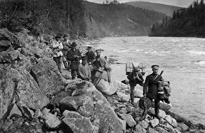
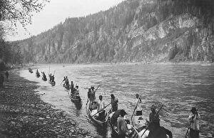
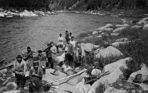
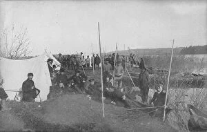
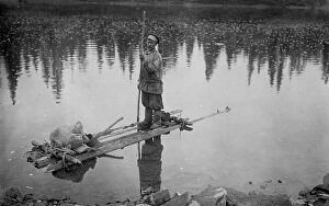
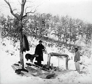
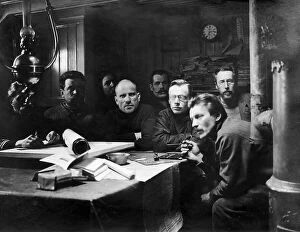
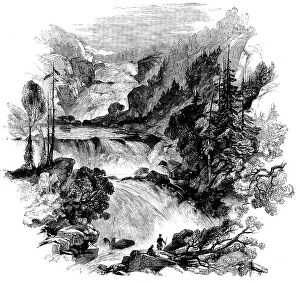
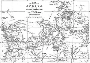
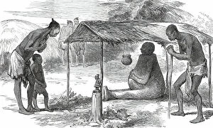
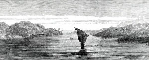
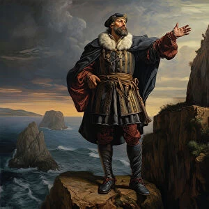
"Embarking on a Journey of Discovery: Exploring the Depths of the Unknown" Apollo 17 astronaut floating in space, gazing at distant galaxies, reminding us that exploration knows no bounds. A diver and mermaid gracefully exploring the enchanting underwater world, where mysteries unfold with every dive. The Tatler travel number front cover from 1953, capturing the allure of exploration and wanderlust during a bygone era. A black bear cub fearlessly venturing into uncharted territory, embodying the spirit of curiosity and adventure. A 17th-century map of the New World showcasing early explorations that shaped our understanding of geography and cultures. Percy H Fawcett, a British explorer who disappeared while searching for an ancient lost city in South America - his story symbolizes both bravery and mystery. An artwork portraying Curiosity rover's tireless exploration on Mars, expanding human knowledge about our neighboring planet. Antarctic exploration route maps revealing brave expeditions through treacherous icy landscapes to unlock Earth's last untouched frontier. Canoeing on Louse River within Boundary Waters Canoe Area Wilderness offers serenity amidst nature's beauty as you explore hidden waterways. A climber conquering Raven Wall on Bosigran cliffs near St. , pushing boundaries to reach new heights in extreme rock climbing routes. A mesmerizing 16th-century world map depicting early attempts to understand our vast planet and its diverse wonders. Illuminated tents at Plaza de Mulas base camp in Aconcagua (6962m), South America's highest peak.