
Elm Drive Collection
Elm Drive, a road that stretches across various parts of the United Kingdom, offers a diverse range of landscapes and communities


All Professionally Made to Order for Quick Shipping
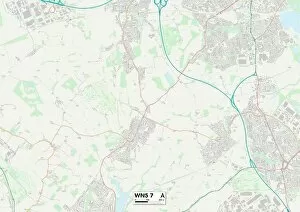
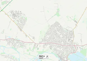
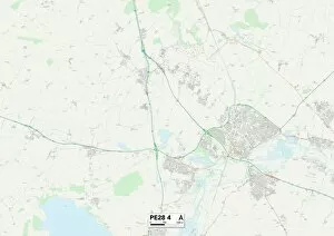
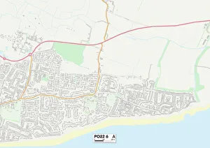
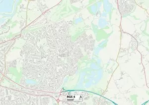
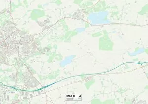
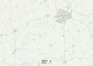
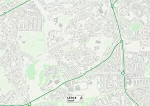
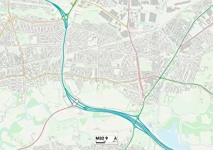
Elm Drive, a road that stretches across various parts of the United Kingdom, offers a diverse range of landscapes and communities. From the bustling city streets of Birmingham B31 to the tranquil countryside in Malvern Hills WR14, Elm Drive connects people from different regions and backgrounds. Starting in Birmingham B31 5 Map, Elm Drive weaves through this vibrant city known for its rich cultural heritage. The hustle and bustle of urban life can be felt as you navigate through its busy streets lined with shops and restaurants. Moving northwards, Elm Drive takes us to Middlesbrough TS7 8 Map. Here, the road leads us into a more suburban setting with neatly arranged houses and well-maintained gardens. Families enjoy peaceful evenings strolling along this picturesque street. Continuing our journey westward, we arrive at Wigan WN5 7 Map. This industrial town showcases a blend of historical charm and modern developments. As you drive down Elm Drive here, you'll notice factories alongside quaint residential areas - a testament to Wigan's industrial past. Further south lies Cornwall TR9 6 Map where Elm Drive winds through breathtaking coastal scenery. Surrounded by stunning beaches and rugged cliffs, residents are treated to awe-inspiring views every day. A walk along this part is like stepping into paradise. Heading eastwards now towards Spelthorne TW16 5 Map brings us closer to London's outskirts. This area boasts an array of beautiful parks and green spaces where locals gather for picnics or leisurely walks on weekends. As we venture further north into Staffordshire ST18 9 Map, rural landscapes dominate the surroundings along Elm Drive once again. Rolling hills dotted with farms create an idyllic backdrop for those seeking tranquility away from city life. Sunderland SR6 7 Map welcomes us next with its thriving coastal community steeped in maritime history.