
Dale Close Collection
"Dale Close: A Journey Through the UK's Diverse Landscapes" Embark on a captivating journey through the stunning landscapes of Dale Close


All Professionally Made to Order for Quick Shipping
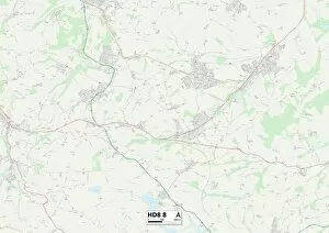
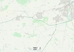
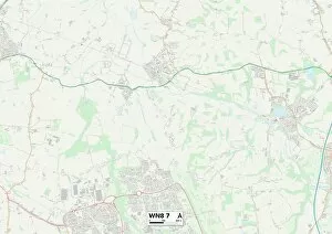
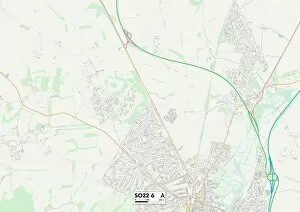
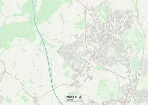
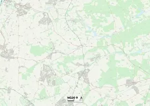
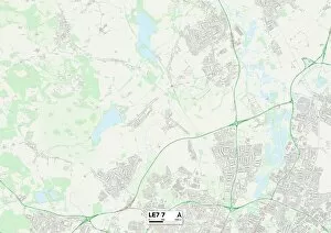
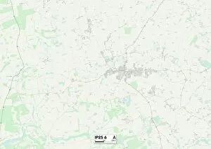
"Dale Close: A Journey Through the UK's Diverse Landscapes" Embark on a captivating journey through the stunning landscapes of Dale Close, as we explore its various locations across the United Kingdom. From Warrington's tranquil surroundings in WA5 1 to Kirklees' picturesque beauty in HD8 8, each destination offers a unique experience for nature enthusiasts and explorers alike. Discover Colchester's CO7 7, where history intertwines with natural splendor, creating an enchanting atmosphere that transports you back in time. Wakefield's WF5 9 invites you to immerse yourself in its vibrant culture and thriving community while basking in its scenic charm. Venture further north to North Yorkshire's YO13 0, where rolling hills and breathtaking vistas await at every turn. The historic city of York beckons with its rich heritage and architectural marvels nestled within YO8 West Lancashire's WN8 7 promises idyllic countryside views that captivate your senses and offer solace from bustling city life. Meanwhile, Cornwall's TR7 2 boasts golden beaches and rugged cliffs that evoke a sense of adventure along its mesmerizing coastline. Head towards Winchester’s SO22 6 for a taste of quintessential English charm blended seamlessly with modern amenities amidst picturesque surroundings. Swansea’s SA5 4 invites you to soak up the sun on sandy shores or explore lush greenery nearby – truly a haven for outdoor enthusiasts. North Hertfordshire’s SG4 9 showcases quaint villages dotted throughout verdant landscapes - an escape into tranquility away from urban chaos. Lastly, Kirklees’ WF17 provides an ideal blend of rural beauty combined with convenient access to nearby towns – offering both peace and convenience hand-in-hand. Whether you're seeking serenity or adventure, Dale Close presents an array of destinations that cater to all tastes.