
Dairy Close Collection
"Dairy Close: Exploring the Hidden Gems of British Countryside" Discover the picturesque charm of Dairy Close


All Professionally Made to Order for Quick Shipping
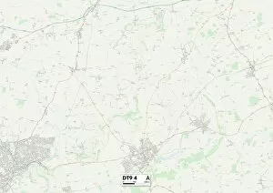
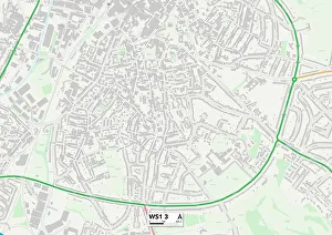
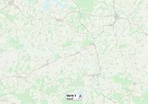
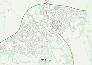
"Dairy Close: Exploring the Hidden Gems of British Countryside" Discover the picturesque charm of Dairy Close, a collection of idyllic locations scattered across the stunning landscapes of West Dorset, East Riding of Yorkshire, Staffordshire, Southampton, Malvern Hills, Walsall, Rother, Shropshire, South Hams, Wiltshire and even as far as Hammersmith and Fulham and South Holland. Nestled amidst rolling hills and verdant meadows in West Dorset (DT9 4 Map), it offers a tranquil escape from bustling city life. Lose yourself in the breathtaking beauty of East Riding of Yorkshire (YO16 7 Map) or immerse yourself in the rich history and heritage that permeates through Staffordshire (ST13 6 Map). Embark on an enchanting journey to Southampton (SO19 0 Map), where quaint cottages dot the landscape alongside charming dairy farms. Explore the majestic Malvern Hills (WR14 2 Map) or wander through Walsall's (WS1 3 Map) vibrant markets brimming with local produce. Uncover hidden treasures within Rother's rural haven (TN19 7 Map) or revel in Shropshire's (TF9 1 Map) timeless allure. Experience coastal bliss along South Hams' pristine shores (TQ9 5 Map), while immersing yourself in Wiltshire's quintessential countryside charm (Sp5-2 map). Indulge your senses with a visit to Hammersmith and Fulham’s SW6 district ( SW6-4 map), where urban sophistication meets rustic tranquility. Lastly but not leastly explore South Holland’s PE11 region (Pe11-3 map)-a place that seamlessly blends old-world charm with modern delights. From scenic walks to mouthwatering dairy delights at every turn – Dairy Close promises an unforgettable adventure for nature enthusiasts and food lovers alike.