
Cross Street Collection (page 5)
"Exploring the Cross Streets: A Journey through Blaenau Gwent, Rhondda Cynon Taf, Redcar & Cleveland, Tamworth, Wigan, Dudley, Bolton and more


All Professionally Made to Order for Quick Shipping
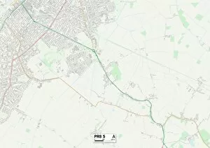
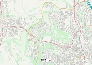
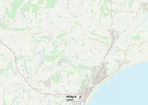
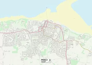
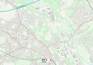
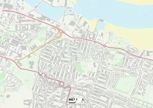
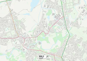
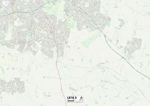
"Exploring the Cross Streets: A Journey through Blaenau Gwent, Rhondda Cynon Taf, Redcar & Cleveland, Tamworth, Wigan, Dudley, Bolton and more. " Embark on a captivating journey as we traverse the cross streets of various towns and cities across the UK. From the picturesque landscapes of Blaenau Gwent NP13 1 to the vibrant community of Rhondda Cynon Taf CF40 2, each cross street holds its own unique charm. In Redcar & Cleveland TS6 9, immerse yourself in coastal beauty while discovering hidden gems along every corner. Tamworth B79 8 invites you to step back in time with its historical architecture and rich heritage showcased on every map. Wigan WN2 3 beckons with its lively atmosphere and friendly locals ready to share their stories. Meanwhile, Dudley DY8 3 boasts a fusion of old-world charm and modern vibrancy that will leave you captivated. Travel further north to BL Bolton BL3 1 where history intertwines seamlessly with contemporary living. Marvel at Woodhouse's enchanting past as depicted on a vintage map from Sheffield circa 1855 - an invitation to delve into Yorkshire's fascinating history. Wakefield WF8 1 offers a delightful blend of urban sophistication and natural wonders waiting to be explored. While Wakefield WF1 3 entices visitors with its thriving arts scene and cultural diversity reflected beautifully on any map. As we conclude our journey in Wigan WN7 2 or Swansea SA4 4 maps reveal endless possibilities for adventure within these vibrant communities. Whether it's exploring stunning landscapes or immersing oneself in local culture – these cross streets have something special for everyone. So grab your maps and embark on an unforgettable expedition through these remarkable cross streets that showcase the true essence of their respective regions.