
Cross Road Collection
"Embarking on a journey through the crossroads of Hampshire, Cannock Chase, South Oxfordshire, Croydon, Coventry, Bradford, Wolverhampton and Wakefield


All Professionally Made to Order for Quick Shipping
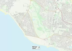
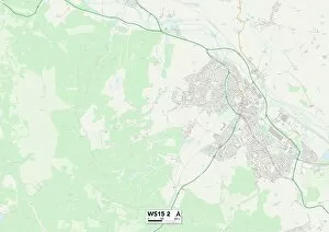
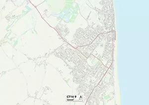
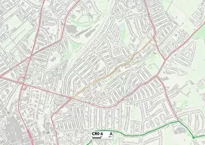
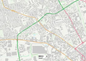
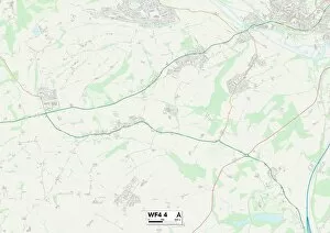
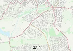
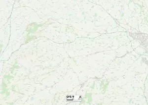
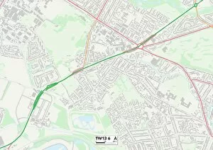
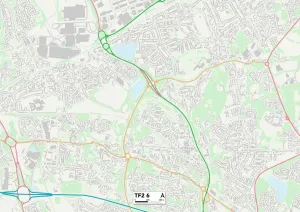
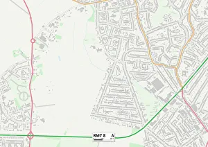
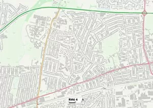
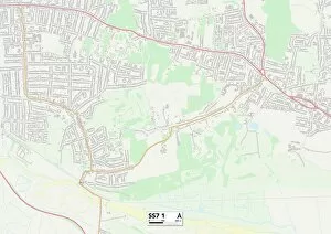
"Embarking on a journey through the crossroads of Hampshire, Cannock Chase, South Oxfordshire, Croydon, Coventry, Bradford, Wolverhampton and Wakefield. " "Exploring the diverse landscapes and hidden gems at every turn in Hampshire PO13 9 Map to Cannock Chase WS15 2 Map. " "Navigating the winding paths from South Oxfordshire OX10 9 Map to Croydon CR0 6 Map - where urban meets rural charm. " "Unveiling the rich history and vibrant culture as we traverse from Coventry CV6 5 Map to Bradford BD8 8 Map. " "Discovering tranquility amidst nature's embrace in Wolverhampton WV7 3 Map and Wakefield WF4 3 & WF4 4 Maps. " "Diving into Watford WD19 4 Map's bustling streets before immersing ourselves in Shropshire SY5 9 Map's idyllic countryside. " "A captivating journey awaits as we unravel tales of old and new in Hounslow TW13 6 Map.