Fraud Blocker Skip to main content

Croft Close Collection

Welcome to Croft Close, a charming residential area located in various parts of the UK

Background imageCroft Close Collection: Newmarket CB8 8 Map

Newmarket CB8 8 Map
Postcode Sector Map of Newmarket CB8 8

Background imageCroft Close Collection: North Yorkshire YO61 3 Map

North Yorkshire YO61 3 Map
Postcode Sector Map of North Yorkshire YO61 3

Background imageCroft Close Collection: Barnsley S73 0 Map

Barnsley S73 0 Map
Postcode Sector Map of Barnsley S73 0

Background imageCroft Close Collection: Southend-on-Sea SS9 4 Map

Southend-on-Sea SS9 4 Map
Postcode Sector Map of Southend-on-Sea SS9 4

Background imageCroft Close Collection: Leeds LS25 5 Map

Leeds LS25 5 Map
Postcode Sector Map of Leeds LS25 5

Background imageCroft Close Collection: Cheshire East CW12 3 Map

Cheshire East CW12 3 Map
Postcode Sector Map of Cheshire East CW12 3

Background imageCroft Close Collection: Wealden BN26 5 Map

Wealden BN26 5 Map
Postcode Sector Map of Wealden BN26 5

Background imageCroft Close Collection: Redditch B98 0 Map

Redditch B98 0 Map
Postcode Sector Map of Redditch B98 0

Background imageCroft Close Collection: North Yorkshire YO7 2 Map

North Yorkshire YO7 2 Map
Postcode Sector Map of North Yorkshire YO7 2

Background imageCroft Close Collection: Dacorum WD4 9 Map

Dacorum WD4 9 Map
Postcode Sector Map of Dacorum WD4 9

Background imageCroft Close Collection: Shropshire SY5 9 Map

Shropshire SY5 9 Map
Postcode Sector Map of Shropshire SY5 9

Background imageCroft Close Collection: New Forest SO45 6 Map

New Forest SO45 6 Map
Postcode Sector Map of New Forest SO45 6

Background imageCroft Close Collection: Shropshire SY4 3 Map

Shropshire SY4 3 Map
Postcode Sector Map of Shropshire SY4 3

Background imageCroft Close Collection: Wiltshire SN6 6 Map

Wiltshire SN6 6 Map
Postcode Sector Map of Wiltshire SN6 6

Background imageCroft Close Collection: East Riding of Yorkshire YO43 3 Map

East Riding of Yorkshire YO43 3 Map
Postcode Sector Map of East Riding of Yorkshire YO43 3

Background imageCroft Close Collection: Rotherham S25 1 Map

Rotherham S25 1 Map
Postcode Sector Map of Rotherham S25 1

Background imageCroft Close Collection: Barnsley S75 6 Map

Barnsley S75 6 Map
Postcode Sector Map of Barnsley S75 6

Background imageCroft Close Collection: Sheffield S11 9 Map

Sheffield S11 9 Map
Postcode Sector Map of Sheffield S11 9

Background imageCroft Close Collection: Tonbridge and Malling TN10 4 Map

Tonbridge and Malling TN10 4 Map
Postcode Sector Map of Tonbridge and Malling TN10 4

Background imageCroft Close Collection: Hillingdon UB10 9 Map

Hillingdon UB10 9 Map
Postcode Sector Map of Hillingdon UB10 9

Background imageCroft Close Collection: Hillingdon UB3 5 Map

Hillingdon UB3 5 Map
Postcode Sector Map of Hillingdon UB3 5

Background imageCroft Close Collection: Trafford WA15 0 Map

Trafford WA15 0 Map
Postcode Sector Map of Trafford WA15 0

Background imageCroft Close Collection: Teignbridge TQ12 6 Map

Teignbridge TQ12 6 Map
Postcode Sector Map of Teignbridge TQ12 6

Background imageCroft Close Collection: Wokingham RG41 4 Map

Wokingham RG41 4 Map
Postcode Sector Map of Wokingham RG41 4

Background imageCroft Close Collection: South Buckinghamshire SL9 9 Map

South Buckinghamshire SL9 9 Map
Postcode Sector Map of South Buckinghamshire SL9 9

Background imageCroft Close Collection: Castle Point SS7 5 Map

Castle Point SS7 5 Map
Postcode Sector Map of Castle Point SS7 5

Background imageCroft Close Collection: Barnet NW7 3 Map

Barnet NW7 3 Map
Postcode Sector Map of Barnet NW7 3

Background imageCroft Close Collection: East Lindsey PE24 4 Map

East Lindsey PE24 4 Map
Postcode Sector Map of East Lindsey PE24 4

Background imageCroft Close Collection: Greenwich SE9 4 Map

Greenwich SE9 4 Map
Postcode Sector Map of Greenwich SE9 4

Background imageCroft Close Collection: Kettering NN15 5 Map

Kettering NN15 5 Map
Postcode Sector Map of Kettering NN15 5

Background imageCroft Close Collection: Cherwell OX25 2 Map

Cherwell OX25 2 Map
Postcode Sector Map of Cherwell OX25 2

Background imageCroft Close Collection: South Oxfordshire OX9 3 Map

South Oxfordshire OX9 3 Map
Postcode Sector Map of South Oxfordshire OX9 3

Background imageCroft Close Collection: Oxford OX3 0 Map

Oxford OX3 0 Map
Postcode Sector Map of Oxford OX3 0

Background imageCroft Close Collection: Suffolk NR34 7 Map

Suffolk NR34 7 Map
Postcode Sector Map of Suffolk NR34 7

Background imageCroft Close Collection: Huntingdonshire PE28 4 Map

Huntingdonshire PE28 4 Map
Postcode Sector Map of Huntingdonshire PE28 4

Background imageCroft Close Collection: Wellingborough NN8 3 Map

Wellingborough NN8 3 Map
Postcode Sector Map of Wellingborough NN8 3

Background imageCroft Close Collection: North Kesteven NG34 8 Map

North Kesteven NG34 8 Map
Postcode Sector Map of North Kesteven NG34 8

Background imageCroft Close Collection: Medway ME5 8 Map

Medway ME5 8 Map
Postcode Sector Map of Medway ME5 8

Background imageCroft Close Collection: Bury M25 1 Map

Bury M25 1 Map
Postcode Sector Map of Bury M25 1

Background imageCroft Close Collection: Leicester LE10 3 Map

Leicester LE10 3 Map
Postcode Sector Map of Leicester LE10 3

Background imageCroft Close Collection: Leicester LE9 8 Map

Leicester LE9 8 Map
Postcode Sector Map of Leicester LE9 8

Background imageCroft Close Collection: Gateshead NE40 3 Map

Gateshead NE40 3 Map
Postcode Sector Map of Gateshead NE40 3

Background imageCroft Close Collection: Broxtowe NG16 6 Map

Broxtowe NG16 6 Map
Postcode Sector Map of Broxtowe NG16 6

Background imageCroft Close Collection: Bradford LS29 6 Map

Bradford LS29 6 Map
Postcode Sector Map of Bradford LS29 6

Background imageCroft Close Collection: Lancaster LA6 2 Map

Lancaster LA6 2 Map
Postcode Sector Map of Lancaster LA6 2

Background imageCroft Close Collection: Lancaster LA6 3 Map

Lancaster LA6 3 Map
Postcode Sector Map of Lancaster LA6 3

Background imageCroft Close Collection: Copeland LA18 5 Map

Copeland LA18 5 Map
Postcode Sector Map of Copeland LA18 5

Background imageCroft Close Collection: East Riding of Yorkshire HU18 1 Map

East Riding of Yorkshire HU18 1 Map
Postcode Sector Map of East Riding of Yorkshire HU18 1


All Professionally Made to Order for Quick Shipping

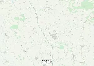
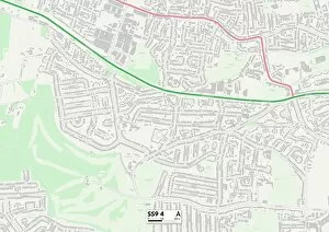
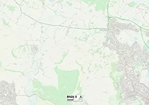
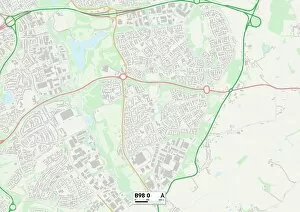
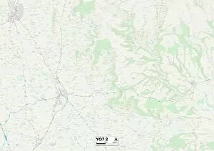
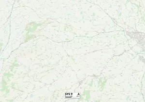
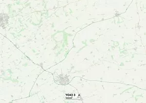
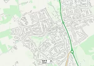
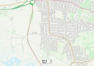
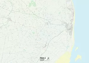
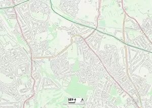
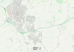
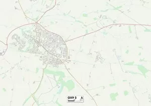
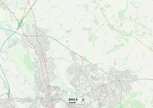
Welcome to Croft Close, a charming residential area located in various parts of the UK. From the picturesque landscapes of North Yorkshire to the vibrant coastal town of Southend-on-Sea, it offers a diverse range of living experiences. In Newmarket CB8 8 Map, you'll find Croft Close nestled among beautiful surroundings and within easy reach of local amenities. The tranquil atmosphere makes it an ideal place for those seeking peace and quiet. If you prefer the allure of countryside living, head over to North Yorkshire YO61 3 Map or Shropshire SY5 9 Map. These locations offer stunning views and a slower pace of life that is perfect for nature enthusiasts. For those who crave city vibes, Barnsley S73 0 Map and Leeds LS25 5 Map provide convenient access to bustling urban centers. Enjoy shopping, dining, and entertainment options just moments away from your doorstep. Looking for a coastal retreat? Look no further than Southend-on-Sea SS9 4 Map. With its sandy beaches and lively promenade, this location is perfect for beach lovers and water sports enthusiasts alike. Cheshire East CW12 3 Map offers a mix of rural charm with modern conveniences nearby. Explore quaint villages or take advantage of excellent transport links to explore further afield. Wealden BN26 5 Map provides residents with idyllic countryside living combined with proximity to major towns such as Eastbourne. Enjoy the best of both worlds in this peaceful setting. North Yorkshire YO7 2 Map boasts scenic beauty along with historical landmarks like York Minster. Immerse yourself in rich history while enjoying all the comforts Croft Close has to offer. Dacorum WD4 9 Map presents an opportunity for residents seeking tranquility without being too far from London's vibrant energy. Commute easily into the capital while returning home to peaceful surroundings at day's end.