Fraud Blocker Skip to main content

Coastline Collection (page 20)

"Discovering the Beauty of Coastlines

Background imageCoastline Collection: Victorian mother and her children on holiday at the beach

Victorian mother and her children on holiday at the beach
Vintage engraving of a Victorian mother and her children on holiday at the beach, 19th Century

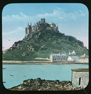
Background imageCoastline Collection: St Michaels Mount, Mounts Bay, Cornwall. Around 1900

St Michaels Mount, Mounts Bay, Cornwall. Around 1900
A hand coloured glass lantern slide of St Michaels Mount from Marazion. St Michaels Mount is managed by the National Trust

Background imageCoastline Collection: Beach path through trees. Padanaram, Dartmouth, Massachusetts

Beach path through trees. Padanaram, Dartmouth, Massachusetts

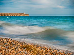
Background imageCoastline Collection: Vibrant Beach Image in Brighton

Vibrant Beach Image in Brighton
Brighton Beach Image, Left Bottom Corner Focused Grey and Brown Pebbles, Vibrant Aqua Colored Sea, Close Up Waves, Pier at Left Top Distance, Partly Clear Sky at Daytime

Background imageCoastline Collection: Polzeath beach from the south west, St Minver, Cornwall. Around 1930

Polzeath beach from the south west, St Minver, Cornwall. Around 1930
Although the photograph is titled " Across the Beach to Polzeath", it is in fact looking at Pentireglaze, now known as New Polzeath

Background imageCoastline Collection: The Sugarloaf Cable Car - Rio de Janeiro, Brazil at night

The Sugarloaf Cable Car - Rio de Janeiro, Brazil at night
The Sugarloaf Cable Car (Bondinho do Pao de Acucar) - a cableway in Rio de Janeiro, Brazil, moving between Praia Vermelha and the Sugarloaf Mountain

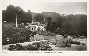
Background imageCoastline Collection: Cary Arms Hotel, Babbacombe, Torquay

Cary Arms Hotel, Babbacombe, Torquay. Date: circa 1908

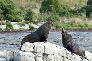
Background imageCoastline Collection: New Zealand, Kaikoura, New Zealand fur seal

New Zealand, Kaikoura, New Zealand fur seal. Two New Zealand fur seals fighting on a rocky outcrop at Kaikoura
Background imageCoastline Collection: New Zealand, Christchurch, New South Brighton

New Zealand, Christchurch, New South Brighton. New South Brighton photographed at sunrise

Background imageCoastline Collection: New Zealand, Dunedin, St Clair Beach

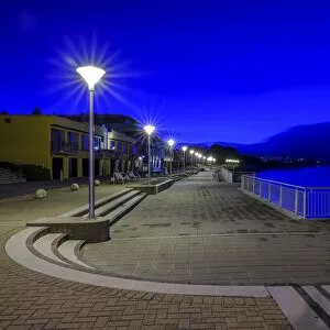
New Zealand, Dunedin, St Clair Beach. The blue tones of pre-dawn at St Clair, a popular seaside resort in Dunedin, Otago

Background imageCoastline Collection: New Zealand, Nelson & Marlborough, Farewell Spit

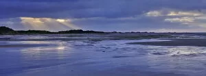
New Zealand, Nelson & Marlborough, Farewell Spit. Dawn at Farewell Spit, a narrow sand spit at the northern end of the Golden Bay

Background imageCoastline Collection: New Zealand, Nelson & Marlborough, Marahau

New Zealand, Nelson & Marlborough, Marahau. Sunrise over Sandy Bay at Marahau - A gateway to the Abel Tasman National Park

Background imageCoastline Collection: England, Lancashire, Blackpool

England, Lancashire, Blackpool. Blackpool Tower and the Golden Mile on the Blackpool sea front

Background imageCoastline Collection: Square crop of Ploce Gate

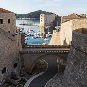
Square crop of Ploce Gate
The main entrance into the old town from the east, Ploce Gate, like Pile Gate, is a 15th-century stone bridge with a wooden drawbridge and a stone arch bearing a statue of St Blaise

Background imageCoastline Collection: New Zealand, South Island, Kaikoura

New Zealand, South Island, Kaikoura. Sunset at the Kaikoura Peninsula viewed from Point Kean

Background imageCoastline Collection: New Zealand, South Island, Wharariki Beach

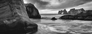
New Zealand, South Island, Wharariki Beach. Wharariki Beach and the the Archway Islands located near Cape Farewell and the Kahurangi National Park

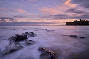
Background imageCoastline Collection: England, Tyne and Wear, King Edwards Bay

England, Tyne and Wear, King Edwards Bay. View from Sharpness Point looking across King Edwards Bay towards Tynemouth Priory

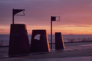
Background imageCoastline Collection: England, Tyne and Wear, Whitley Bay

England, Tyne and Wear, Whitley Bay. Sand castle shaped shelters on the Whitley Bay sea front

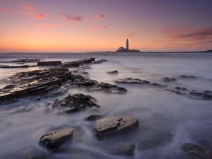
Background imageCoastline Collection: England, Northumberland, Old Hartley

England, Northumberland, Old Hartley. Old Hartley Bay at dawn, looking towards St Marys Lighthouse

Background imageCoastline Collection: England, Northumberland, Cullernose Point

England, Northumberland, Cullernose Point. Cullernose Point located along the Northumberland Heritage Coast

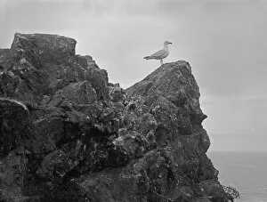
Background imageCoastline Collection: Gull on rock, Mullion Island (Porth Mellin), Mullion, Cornwall. 10th June 1908

Gull on rock, Mullion Island (Porth Mellin), Mullion, Cornwall. 10th June 1908
View of a gull perched on Mullion Island. The island is located approximately half a mile offshore and is now owned by the National Trust

Background imageCoastline Collection: A distant view of two Marconi wireless towers and the Poldhu Hotel, Poldhu, Mullion, Cornwall

A distant view of two Marconi wireless towers and the Poldhu Hotel, Poldhu, Mullion, Cornwall. Probably 1920s
A distant view of a two-masted arrangement of 200ft Marconi towers at Poldhu. Originally recorded as the two-masted tower installation used by Guglielmo Marconi to transmit the first transatlantic

Background imageCoastline Collection: A view from St Michaels Mount looking towards Marazion, Cornwall. Probably 1895

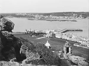
A view from St Michaels Mount looking towards Marazion, Cornwall. Probably 1895
A view from St Michaels Mount with the harbour and cottages in the foreground. The walkway to Marazion is covered at high tide with a view of Marazion in the distance

Background imageCoastline Collection: St Michaels Mount, Mounts Bay, looking towards Marazion, Cornwall. Probably 1895

St Michaels Mount, Mounts Bay, looking towards Marazion, Cornwall. Probably 1895
A view from St Michaels Mount with the watch box and harbour in the foreground. The causeway to Marazion is covered at high tide with a view of Marazion in the distance

Background imageCoastline Collection: Trevose Cliffs, St Merryn, Cornwall. 1906

Trevose Cliffs, St Merryn, Cornwall. 1906
Trevose Cliffs and Merope Rocks in the distance. Photographer: T. Mitchell

Background imageCoastline Collection: Harlyn Bay, St Merryn, Cornwall. Early 1900s

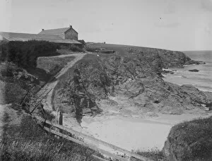
Harlyn Bay, St Merryn, Cornwall. Early 1900s
A view of Harlyn Bay showing a house on the cliffs with two boats, and a pathway down to the beach. Photographer: Thomas Henry Williams

Background imageCoastline Collection: Fishing boat, probably off Porthleven, Cornwall. Undated, possibly early 1900s

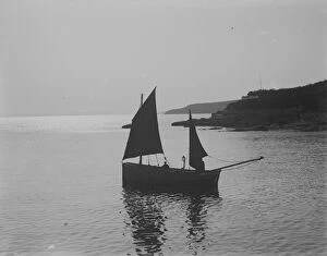
Fishing boat, probably off Porthleven, Cornwall. Undated, possibly early 1900s
A Penzance registered fishing boat, PZ270, in full sail, probably off Porthleven. Photographer: Unknown

Background imageCoastline Collection: Mullion Island, Mullion Cove (Porth Mellin), Mullion, Cornwall. 12th June 1908

Mullion Island, Mullion Cove (Porth Mellin), Mullion, Cornwall. 12th June 1908
A view of Mullion Island from Porth Pyg cave, near the harbour. A man is seated on a rock in the foreground, looking out to sea. Photographer: Herbert Hughes

Background imageCoastline Collection: Trevone Bay, Padstow, Cornwall. Around 1900

Trevone Bay, Padstow, Cornwall. Around 1900
A view of houses at the back of Trevone Bay, taken at high tide. Photographer: Unknown

Background imageCoastline Collection: Gatklettur, Arnarstapi, Snaefellsnes Peninsula, Iceland, March 2017

Gatklettur, Arnarstapi, Snaefellsnes Peninsula, Iceland, March 2017

Background imageCoastline Collection: Bamburgh Castle, Northumberland, England, UK, March 2009

Bamburgh Castle, Northumberland, England, UK, March 2009

Background imageCoastline Collection: Marsland Mouth, Morwenstow, Cornwall. Print dated 1913

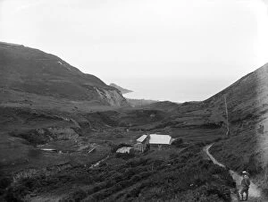
Marsland Mouth, Morwenstow, Cornwall. Print dated 1913
A view of a cottage at Marsland Mouth, looking towards the sea. The cottage appears to have been recently renovated. There is a man wearing a straw hat on the pathway in the right foreground

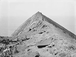
Background imageCoastline Collection: Higher Sharpnose Point, Morwenstow, Cornwall. June 19 (possibly around 1913)

Higher Sharpnose Point, Morwenstow, Cornwall. June 19 (possibly around 1913)
A view of two photographers climbing Sharpnose Point with their equipment. On the left and in the foreground there appears to be some industrial debris. Photographer: John Charles Burrow

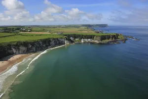
Background imageCoastline Collection: Aerial view of Portbraddan and Whitepark Bay, north coast, County Antrim, Northern Ireland

Aerial view of Portbraddan and Whitepark Bay, north coast, County Antrim, Northern Ireland, UK, September 2009

Background imageCoastline Collection: A view over Newtrain Bay looking towards Roundhole Point, Trevone, Padstow, Cornwall. Early 1900s

A view over Newtrain Bay looking towards Roundhole Point, Trevone, Padstow, Cornwall. Early 1900s
A lone figure is standing on the beach. The photograph is taken from the west end of the cliff walk. Newtrain Bay is also known as Rocky Beach. Photographer: Unknown

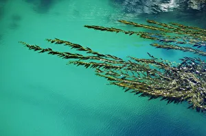
Background imageCoastline Collection: USA, California, Seaweed floating in turquoise ocean water on coastline; Big Sur

USA, California, Seaweed floating in turquoise ocean water on coastline; Big Sur

Background imageCoastline Collection: Aerial View of Durban Beach, South Africa

Aerial View of Durban Beach, South Africa. Date: circa 1930s

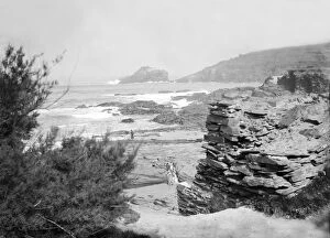
Background imageCoastline Collection: Droskyn Point, Perranporth, Perranzabuloe, Cornwall, 1910

Droskyn Point, Perranporth, Perranzabuloe, Cornwall, 1910
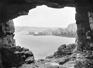
Waves breaking near Droskyn Point, seen from a cave. Photographer: Herbert Hughes

Background imageCoastline Collection: The Smugglers Path, Droskyn Point, Perranporth, Perranzabuloe, Cornwall. 1903

The Smugglers Path, Droskyn Point, Perranporth, Perranzabuloe, Cornwall. 1903
A view of a natural arch and steps. Photographer: Herbert Hughes

Background imageCoastline Collection: A view of the bathing pool at Newtrain Bay looking towards Roundhole Point, Trevone, Padstow

A view of the bathing pool at Newtrain Bay looking towards Roundhole Point, Trevone, Padstow, Cornwall. Early 1900s
Two swimmers are in the pool with bystanders watching. Newtrain Bay is also known as Rocky Beach. Photographer: Unknown

Background imageCoastline Collection: Map of the Indian Ocean

Map of the Indian Ocean. Map showing the Indian subcontinent, East Africa, the Arabian peninsula, Indo-China and Western Australia. Plate 54 from The Times Atlas

Background imageCoastline Collection: Map of Victoria and Tasmania

Map of Victoria and Tasmania. Map showing a southern section of Australia, Melbourne, the Bass Strait and the island of Tasmania. Plate 107 from The Times Atlas

Background imageCoastline Collection: Political map of China

Political map of China. Map showing China, Mongolia, East Turkestan, Tibet and the Korean peninsula. Plate 62 from The Times Atlas

Background imageCoastline Collection: Views from the Slea Head drive on the Dingle peninsula, Wild Atlantic Way

Views from the Slea Head drive on the Dingle peninsula, Wild Atlantic Way
County Kerry, Ireland

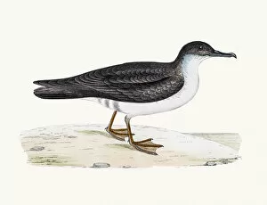
Background imageCoastline Collection: Manx shearwater bird

Manx shearwater bird
A photograph of an original hand-colored engraving from The History of British Birds by Morris published in 1853-1891

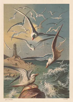
Background imageCoastline Collection: Seagulls on a coast with lighthouse, lithograph, published in 1883

Seagulls on a coast with lighthouse, lithograph, published in 1883
Seagulls on a coast with lighthouse. Lithograph after a drawing by Fedor Flinzer (German author and illustrator, 1832 - 1911), published in 1883

Background imageCoastline Collection: Summer Sandy Beach Aerial

Summer Sandy Beach Aerial
Blue waters and white sandy beach from drone perspective

Background imageCoastline Collection: The Lizard Lighthouse from Housel Bay, The Lizard, Cornwall, England

The Lizard Lighthouse from Housel Bay, The Lizard, Cornwall, England


All Professionally Made to Order for Quick Shipping

"Discovering the Beauty of Coastlines: From Cyprus to Scotland" Embark on a captivating journey along the coastlines captured in various historical maps and breathtaking photographs. Delve into the past with a Map of Cyprus, published in 1880, unveiling the island's intricate coastal features that have stood the test of time. Explore further as you navigate through a Political Map of Africa, tracing its diverse coastline that has witnessed centuries of trade and cultural exchange. Immerse yourself in history at Kingston Norfolk Island, where restored British penal colony buildings now grace this world heritage listed area. Picture No. 10741258 transports you to this enchanting spot, offering a glimpse into its rich maritime past. Continue your exploration with a Map of Portugal, revealing its stunning Atlantic coastline dotted with charming towns and pristine beaches. Journey southward to Wilsons Promontory in Victoria, Australia, where the Tidal River gracefully meets the rugged shoreline—an idyllic blend of land and sea. Venture northward to Scotland's Orkney Islands and discover Skara Brae Prehistoric Village nestled along its windswept coast—a testament to ancient civilizations living harmoniously by the sea. Ireland's Dingle Peninsula (AL 2367) captivates with its dramatic cliffs plunging into wild waters—nature's masterpiece captured by Ake Lindau. Transport yourself to Croatia as you marvel at an exquisite View of Old Town City Dubrovnik from its shimmering coastline—a fusion of medieval charm against azure waters. Flamborough Head in Yorkshire (UK JLM 10277) beckons nature enthusiasts with its towering cliffs overlooking crashing waves—an awe-inspiring sight etched forever in memory. Conclude your coastal odyssey at Swanage in Dorset, England—the picturesque town boasting panoramic views across tranquil shores—a haven for relaxation amidst natural beauty.