
Clay Lane Collection
Clay Lane: A Scenic Journey Through the British Countryside Nestled in the picturesque landscapes of Sussex, Somerset, Cheshire East, Rochdale, Lincoln, Birmingham, York


All Professionally Made to Order for Quick Shipping
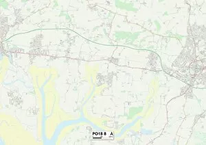
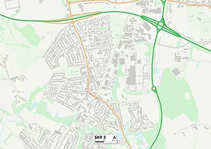
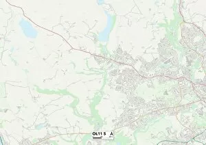
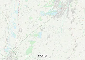
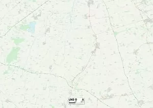
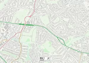
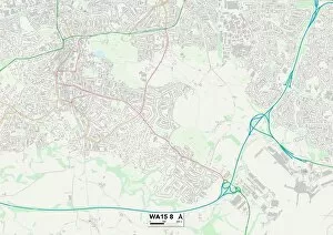
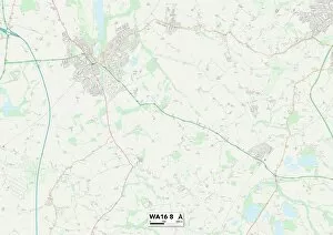
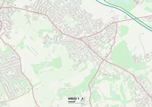
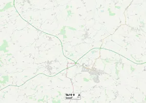
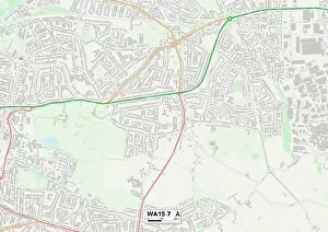
Clay Lane: A Scenic Journey Through the British Countryside Nestled in the picturesque landscapes of Sussex, Somerset, Cheshire East, Rochdale, Lincoln, Birmingham, York, Trafford, and Hertsmere lies a hidden gem called Clay Lane. With its diverse locations spread across these regions as indicated by their respective maps (Sussex PO18 8 Map), (Somerset TA19 0 Map), (Cheshire East SK9 3 Map), (Rochdale OL11 5 Map), (Lincoln LN6 9 Map), (Lincoln LN5 0 Map), (Birmingham B26 1 Map), (York YO8 6 Map), (Trafford WA15 8 Map), and (Cheshire East WA16 8 & WA16 7 Maps), (Hertsmere WD23-1Map). Clay Lane offers an enchanting journey through some of England's most captivating countryside scenery. As you traverse this idyllic lane that winds its way through various counties and districts, you'll be mesmerized by the beauty that unfolds before your eyes. Starting in Sussex with its rolling hills and lush green meadows depicted on the PO18 map; Clay Lane takes you to Somerset where charming villages dot the landscape amidst vast farmlands showcased on TA19 map. The journey then continues to Cheshire East where quaint cottages stand against a backdrop of stunning rural vistas illustrated on SK9-3 map. As you venture further along Clay Lane into Rochdale as shown on OL11-5 map; prepare to be captivated by rugged moorlands contrasting with serene valleys. The path then leads to Lincolnshire where historic architecture meets sprawling fields portrayed on both LN6-9 & LN5-0 maps. Next stop is Birmingham - a bustling cityscape intertwined with pockets of greenery represented by B26-1 map.