
Chestnut Close Collection
Discover the charm of Chestnut Close, a collection of picturesque neighborhoods scattered across various regions in the UK


All Professionally Made to Order for Quick Shipping
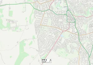
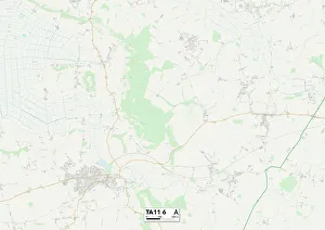
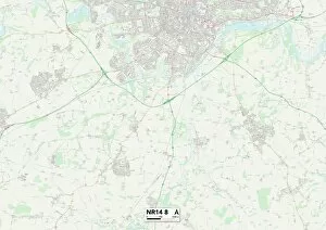
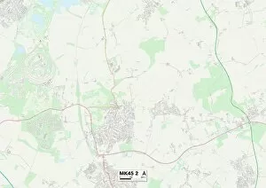
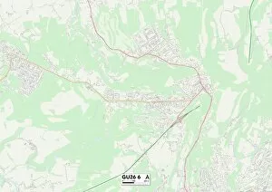
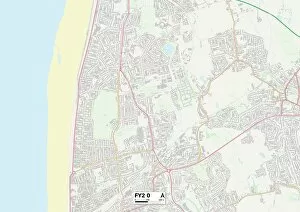
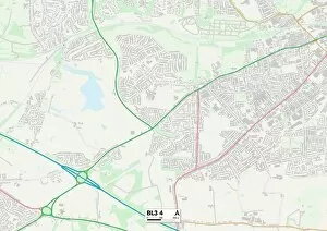
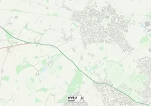
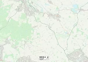
Discover the charm of Chestnut Close, a collection of picturesque neighborhoods scattered across various regions in the UK. From Ashford's tranquil TN23 3 Map to Dudley's vibrant DY8 3 Map, each location offers its own unique character and appeal. Nestled amidst the bustling streets of Lambeth SE27 0 Map or the serene landscapes of Horsham RH20 3 Map, residents can enjoy a diverse range of amenities and attractions right at their doorstep. Whether you prefer the peaceful countryside of Norfolk NR14 8 Map or the lively atmosphere of Bedford MK45 2 Map, it has something for everyone. Explore Aylesbury Vale HP22 5 Map with its stunning natural beauty or immerse yourself in Waverley GU26 6 Map's rich history and culture. Tamworth B78 2 Map boasts a perfect blend of modern conveniences and scenic surroundings while Wolverhampton WV8 2Map offers an ideal balance between urban living and green spaces. Cannock Chase WS15 4Map is a haven for nature enthusiasts with its expansive forests and trails, while Wakefield WF7 6Map provides a welcoming community atmosphere. No matter where you choose to settle within Chestnut Close, you'll find comfort, convenience, and endless opportunities for exploration.