
British West Indies Collection
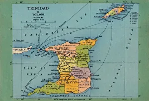
"Exploring the Vibrant British West Indies: A Glimpse into its Rich History and Natural Wonders" Step back in time with a vintage Trinidad & Tobago map from the 1940s


All Professionally Made to Order for Quick Shipping
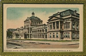
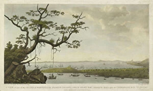
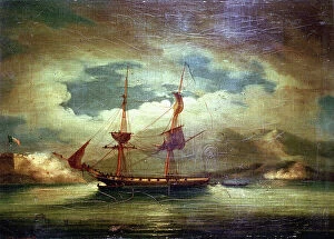
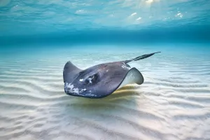
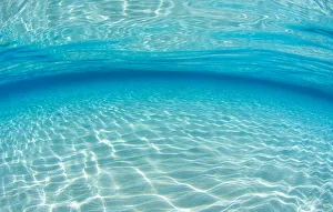
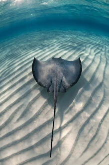
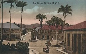
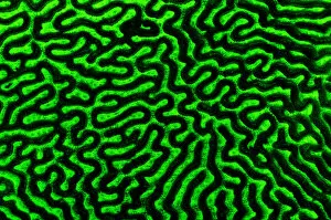
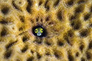
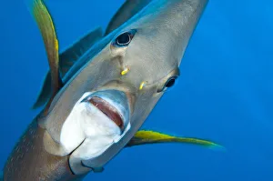
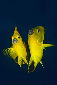
"Exploring the Vibrant British West Indies: A Glimpse into its Rich History and Natural Wonders" Step back in time with a vintage Trinidad & Tobago map from the 1940s, revealing the intricate beauty of this captivating Caribbean destination. Carnival comes alive in another snapshot from the same era, showcasing the exuberance and colorful traditions that define Trinidad's vibrant culture. Travel further into history as we glimpse at The Red House, Government Buildings in Port of Spain during the early 20th century. This architectural gem stands as a testament to British influence on these islands. Delve deeper into Dominica's past with an enchanting watercolor painting capturing Mesteese and mulatto girls from the mid-19th century. Their grace and elegance reflect a diverse heritage that has shaped this island nation. Dive beneath crystal-clear waters where sunlight dances on shallow sand banks, illuminating an underwater paradise. Witness graceful Southern stingrays gracefully gliding through their natural habitat off Grand Cayman Island or Stingray City. Immerse yourself in Martinique's artistic legacy through Croquis martiniquais, a stunning artwork blending watercolors, charcoal, and pencil on paper dating back to 1887. It offers a glimpse into local life during that era. Journey to St. Kitts' charming streets with an early 20th-century photograph of The Circus – bustling with activity and hinting at stories waiting to be discovered around every corner. Marvel at nature's wonders as you encounter brain coral glowing under mesmerizing blue light or catch sight of Secretary blenny peering curiously from within massive Starlet coral formations – both showcasing the incredible biodiversity found beneath these azure waves. Finally, let your eyes feast upon Georgetown's Grey angelfish portrait – its vibrant colors mirroring the kaleidoscope of hues found throughout Grand Cayman Island’s thriving marine ecosystem. The British West Indies beckon adventurers seeking a blend of history, culture, and natural beauty.