Fraud Blocker Skip to main content

Bluebell Close Collection

Discover the charm of Bluebell Close, a hidden gem nestled in various locations across the UK

Background imageBluebell Close Collection: Ashford TN23 3 Map

Ashford TN23 3 Map
Postcode Sector Map of Ashford TN23 3

Background imageBluebell Close Collection: Wychavon WR9 7 Map

Wychavon WR9 7 Map
Postcode Sector Map of Wychavon WR9 7

Background imageBluebell Close Collection: East Hertfordshire SG13 7 Map

East Hertfordshire SG13 7 Map
Postcode Sector Map of East Hertfordshire SG13 7

Background imageBluebell Close Collection: Cannock Chase WS12 4 Map

Cannock Chase WS12 4 Map
Postcode Sector Map of Cannock Chase WS12 4

Background imageBluebell Close Collection: Barnsley S74 0 Map

Barnsley S74 0 Map
Postcode Sector Map of Barnsley S74 0

Background imageBluebell Close Collection: Hartlepool TS27 4 Map

Hartlepool TS27 4 Map
Postcode Sector Map of Hartlepool TS27 4

Background imageBluebell Close Collection: Somerset TA3 5 Map

Somerset TA3 5 Map
Postcode Sector Map of Somerset TA3 5

Background imageBluebell Close Collection: Chorley PR6 7 Map

Chorley PR6 7 Map
Postcode Sector Map of Chorley PR6 7

Background imageBluebell Close Collection: Blackpool FY2 0 Map

Blackpool FY2 0 Map
Postcode Sector Map of Blackpool FY2 0

Background imageBluebell Close Collection: Dudley DY8 5 Map

Dudley DY8 5 Map
Postcode Sector Map of Dudley DY8 5

Background imageBluebell Close Collection: Eastleigh SO31 6 Map

Eastleigh SO31 6 Map
Postcode Sector Map of Eastleigh SO31 6

Background imageBluebell Close Collection: Staffordshire ST15 0 Map

Staffordshire ST15 0 Map
Postcode Sector Map of Staffordshire ST15 0

Background imageBluebell Close Collection: Staffordshire ST13 7 Map

Staffordshire ST13 7 Map
Postcode Sector Map of Staffordshire ST13 7

Background imageBluebell Close Collection: Bromley SE26 6 Map

Bromley SE26 6 Map
Postcode Sector Map of Bromley SE26 6

Background imageBluebell Close Collection: Sutton SM6 7 Map

Sutton SM6 7 Map
Postcode Sector Map of Sutton SM6 7

Background imageBluebell Close Collection: Tameside SK14 4 Map

Tameside SK14 4 Map
Postcode Sector Map of Tameside SK14 4

Background imageBluebell Close Collection: Cheshire East SK10 2 Map

Cheshire East SK10 2 Map
Postcode Sector Map of Cheshire East SK10 2

Background imageBluebell Close Collection: Central Bedfordshire SG18 8 Map

Central Bedfordshire SG18 8 Map
Postcode Sector Map of Central Bedfordshire SG18 8

Background imageBluebell Close Collection: High Peak SK22 2 Map

High Peak SK22 2 Map
Postcode Sector Map of High Peak SK22 2

Background imageBluebell Close Collection: Wakefield WF8 2 Map

Wakefield WF8 2 Map
Postcode Sector Map of Wakefield WF8 2

Background imageBluebell Close Collection: Ealing UB5 5 Map

Ealing UB5 5 Map
Postcode Sector Map of Ealing UB5 5

Background imageBluebell Close Collection: Pembrokeshire SA73 1 Map

Pembrokeshire SA73 1 Map
Postcode Sector Map of Pembrokeshire SA73 1

Background imageBluebell Close Collection: Hampshire PO7 8 Map

Hampshire PO7 8 Map
Postcode Sector Map of Hampshire PO7 8

Background imageBluebell Close Collection: Mid Sussex RH19 1 Map

Mid Sussex RH19 1 Map
Postcode Sector Map of Mid Sussex RH19 1

Background imageBluebell Close Collection: Staffordshire ST8 6 Map

Staffordshire ST8 6 Map
Postcode Sector Map of Staffordshire ST8 6

Background imageBluebell Close Collection: Powys SY21 7 Map

Powys SY21 7 Map
Postcode Sector Map of Powys SY21 7

Background imageBluebell Close Collection: Mid Sussex RH16 3 Map

Mid Sussex RH16 3 Map
Postcode Sector Map of Mid Sussex RH16 3

Background imageBluebell Close Collection: Havering RM7 0 Map

Havering RM7 0 Map
Postcode Sector Map of Havering RM7 0

Background imageBluebell Close Collection: Cherwell OX26 3 Map

Cherwell OX26 3 Map
Postcode Sector Map of Cherwell OX26 3

Background imageBluebell Close Collection: Chesterfield S43 4 Map

Chesterfield S43 4 Map
Postcode Sector Map of Chesterfield S43 4

Background imageBluebell Close Collection: Test Valley SP10 3 Map

Test Valley SP10 3 Map
Postcode Sector Map of Test Valley SP10 3

Background imageBluebell Close Collection: Fylde PR3 6 Map

Fylde PR3 6 Map
Postcode Sector Map of Fylde PR3 6

Background imageBluebell Close Collection: Fylde PR4 6 Map

Fylde PR4 6 Map
Postcode Sector Map of Fylde PR4 6

Background imageBluebell Close Collection: South Holland PE11 3 Map

South Holland PE11 3 Map
Postcode Sector Map of South Holland PE11 3

Background imageBluebell Close Collection: Sheffield S5 6 Map

Sheffield S5 6 Map
Postcode Sector Map of Sheffield S5 6

Background imageBluebell Close Collection: Huntingdonshire PE26 2 Map

Huntingdonshire PE26 2 Map
Postcode Sector Map of Huntingdonshire PE26 2

Background imageBluebell Close Collection: Kettering NN16 9 Map

Kettering NN16 9 Map
Postcode Sector Map of Kettering NN16 9

Background imageBluebell Close Collection: Daventry NN11 3 Map

Daventry NN11 3 Map
Postcode Sector Map of Daventry NN11 3

Background imageBluebell Close Collection: West Norfolk PE38 9 Map

West Norfolk PE38 9 Map
Postcode Sector Map of West Norfolk PE38 9

Background imageBluebell Close Collection: Horsham RH12 5 Map

Horsham RH12 5 Map
Postcode Sector Map of Horsham RH12 5

Background imageBluebell Close Collection: Crawley RH11 9 Map

Crawley RH11 9 Map
Postcode Sector Map of Crawley RH11 9

Background imageBluebell Close Collection: Suffolk NR33 7 Map

Suffolk NR33 7 Map
Postcode Sector Map of Suffolk NR33 7

Background imageBluebell Close Collection: Norfolk NR19 2 Map

Norfolk NR19 2 Map
Postcode Sector Map of Norfolk NR19 2

Background imageBluebell Close Collection: Norfolk NR17 2 Map

Norfolk NR17 2 Map
Postcode Sector Map of Norfolk NR17 2

Background imageBluebell Close Collection: Wellingborough NN8 4 Map

Wellingborough NN8 4 Map
Postcode Sector Map of Wellingborough NN8 4

Background imageBluebell Close Collection: Daventry NN7 2 Map

Daventry NN7 2 Map
Postcode Sector Map of Daventry NN7 2

Background imageBluebell Close Collection: Bedford MK45 1 Map

Bedford MK45 1 Map
Postcode Sector Map of Bedford MK45 1

Background imageBluebell Close Collection: Bedford MK42 0 Map

Bedford MK42 0 Map
Postcode Sector Map of Bedford MK42 0


All Professionally Made to Order for Quick Shipping

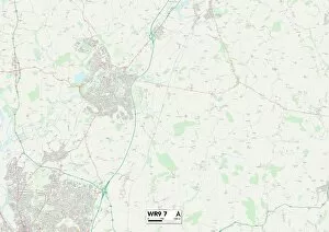
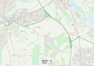
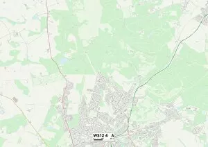
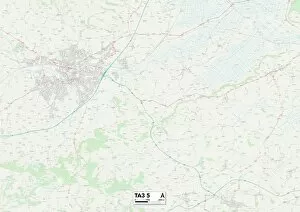
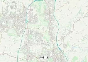
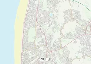
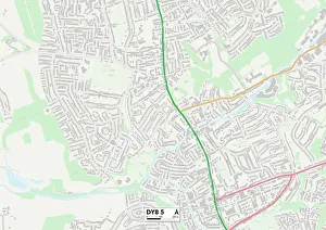
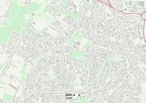
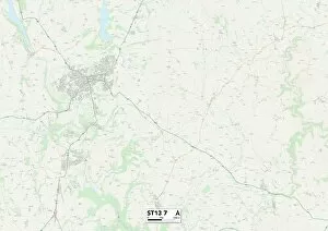
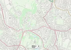
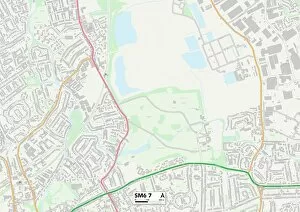
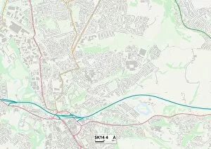
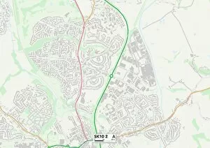
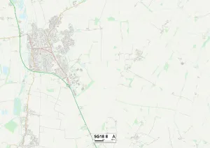
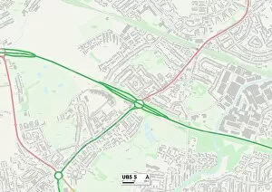
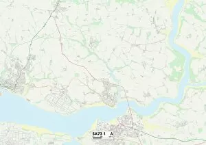
Discover the charm of Bluebell Close, a hidden gem nestled in various locations across the UK. From Ashford's tranquil TN23 3 Map to Wychavon's picturesque WR9 7 Map, each address offers its own unique appeal. Explore the idyllic surroundings of East Hertfordshire's SG13 7 Map or immerse yourself in nature at Cannock Chase's WS12 4 Map. Barnsley's S74 0 Map invites you to experience its warm community spirit while Hartlepool's TS27 4 Map captivates with its coastal beauty. Somerset's TA3 5 Map promises breathtaking landscapes that will leave you awe-inspired, while Chorley's PR6 7 Map beckons with its charming countryside allure. Dudley’s DY8 5 map showcases a vibrant neighborhood filled with history and culture, while Eastleigh’s SO31 6 map offers a peaceful retreat by the water. Staffordshire boasts two enchanting locations - ST15 Omap and ST13 Tmap - where tranquility meets stunning natural scenery. Wherever your journey takes you within Bluebell Close, prepare for unforgettable moments and cherished memories.