
Bathymetry Collection
"Bathymetry: Unveiling the Hidden Depths of Our Earth" Embark on a journey beneath the surface as we explore bathymetry


All Professionally Made to Order for Quick Shipping
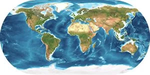
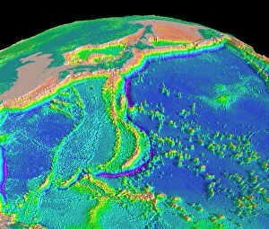
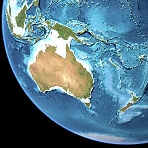
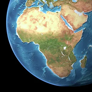
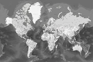
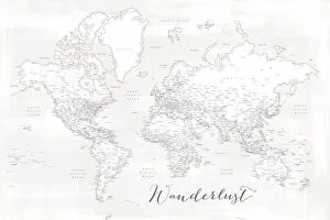
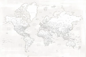
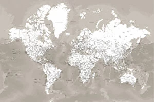
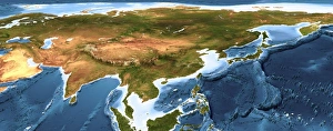
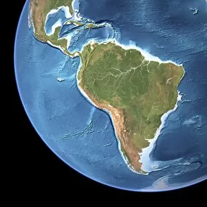
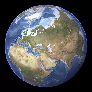
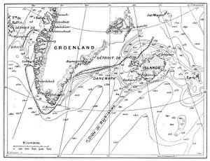
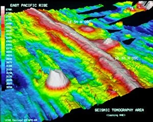
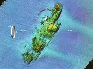
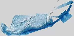
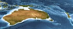
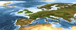
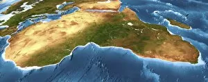
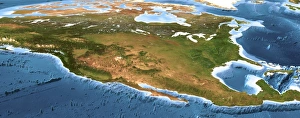
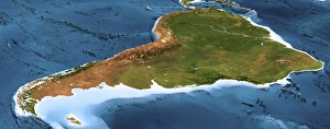
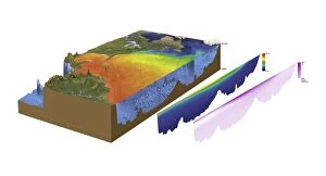
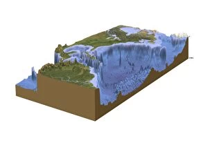
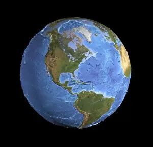
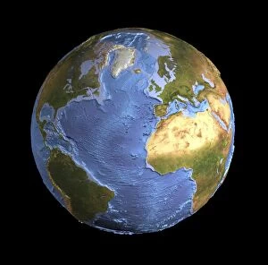
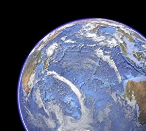
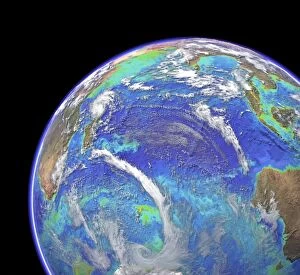
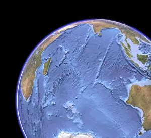
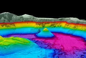
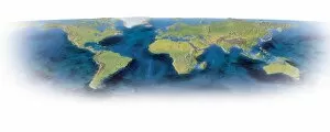
"Bathymetry: Unveiling the Hidden Depths of Our Earth" Embark on a journey beneath the surface as we explore bathymetry, the fascinating science that reveals the secrets hidden within our planet's watery realms. Bathymetry, derived from Greek words meaning "deep measure, " allows us to map and understand Earth's underwater topography just as topographic maps do for its landforms. From the majestic Mariana Trench sea floor topography to Australia's diverse landscapes showcased in its topographic map, bathymetry provides a comprehensive view of our planet's submerged wonders. By merging both topographic and bathymetric data into one unified map, we gain an unparalleled understanding of Earth's intricate terrain. As we traverse across Africa through its captivating topographic map, bathymetry unravels the mysteries concealed beneath vast oceans and seas. The integration of these maps not only enriches our knowledge but also aids in various fields such as marine biology, geology, and oceanography. Zooming closer to home, highly detailed maps like Kameryn and Olson offer an intimate exploration of the United States' varied landscapes—both above and below water. These meticulously crafted representations showcase every contour with precision while highlighting significant features such as lakes, rivers, canyons, or even submarine trenches. For those with wanderlust in their hearts, Maeli White’s detailed world map with cities becomes a gateway to global adventures. This cartographical masterpiece captures not only urban centers but also incorporates bathymetric details that bring life to coastal regions and seafloors worldwide. Hikmat’s rendition further immerses us into this interconnected world by revealing additional cityscapes waiting to be explored. Bathymetry is more than just mapping; it unveils stories untold—a testament to humanity's insatiable curiosity about our planet's hidden depths.