
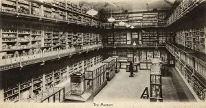
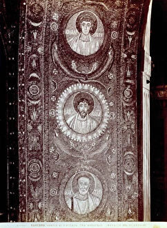
Bartholomew Collection
Bartholomew, a name that resonates through time and geography, leaving its mark on maps and hospitals alike


All Professionally Made to Order for Quick Shipping
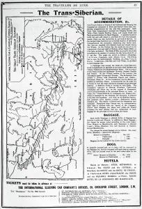
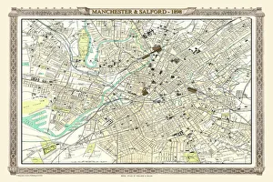
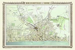
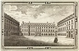
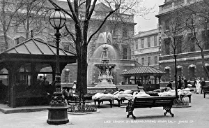
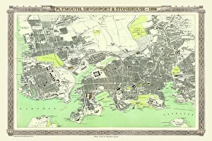
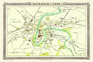
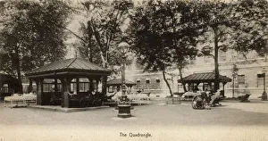
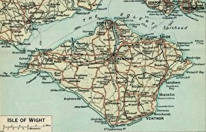
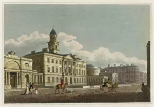
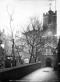
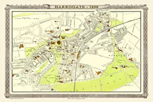
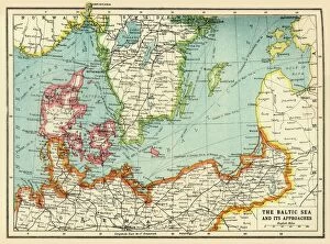
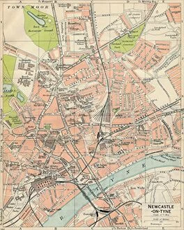
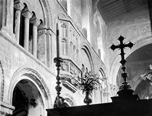
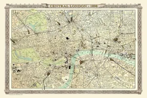
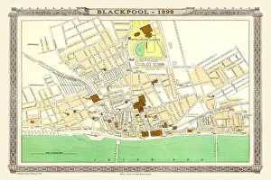
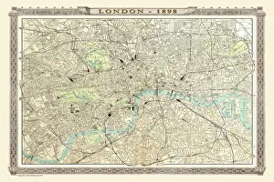
Bartholomew, a name that resonates through time and geography, leaving its mark on maps and hospitals alike. From the bustling streets of London to the tranquil landscapes of Devonport and Stonehouse, Bartholomew's legacy is etched into history. In the early 20th century, J. Bartholomew & Co. Crafted a masterpiece - a map of the Trans-Siberian Railway. This intricate engraving showcased their expertise in cartography, guiding travelers along this iconic route with precision and accuracy. Meanwhile, St. Bartholomews Hospital stood as a beacon of healing in 18th-century London. Its courtyard witnessed countless tales of resilience and recovery, offering solace to those seeking medical aid amidst bustling city life. The Royal Atlas by Bartholomew transported us back to Victorian times with an old map of Plymouth, Devonport, and Stonehouse from 1898. It captured the essence of these coastal towns with meticulous detail - every street corner immortalized for generations to come. Venturing further north on another page from the Royal Atlas was Durham's old map from 1898 by none other than Bartholomew himself. The winding rivers and ancient landmarks painted a vivid picture of this historic city nestled in England's northeast countryside. Back in London again at St. Bartholomews Hospital - The Quadrangle revealed itself as an architectural marvel designed to inspire hope within its walls. Henry VIII Gate stood tall since 1886; it bore witness to centuries' worth of stories unfolding within its grand entrance. But beyond maps and hospitals lies artistry too - John Bartholomew captured the beauty of Isle of Wight in his c20th-century artwork. His brushstrokes brought life to serene landscapes that whispered tales only nature could tell. Dublin's Rotunda Hospital found itself intertwined with our narrative as well – reminding us that even across borders, Bartholomew's influence reached far and wide.