
Antilles Collection
"Exploring the Enchanting Antilles: Unveiling the Caribbean Islands of the 1870s" Step into a time machine and journey back to the vibrant Antilles of the 19th century


All Professionally Made to Order for Quick Shipping
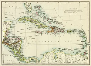
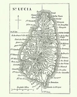
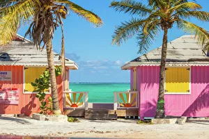
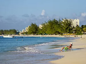
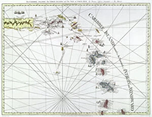
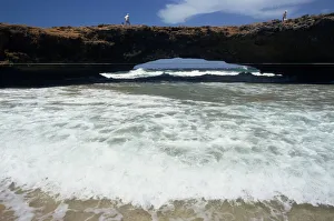
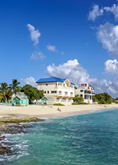
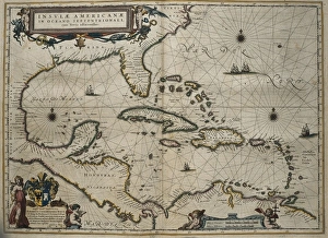
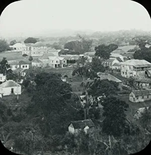
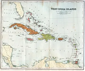
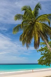
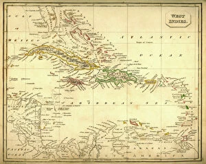
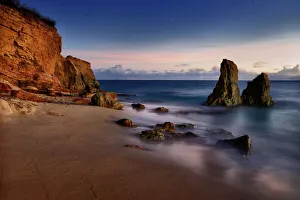
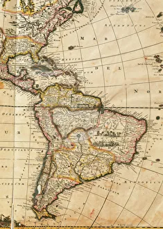
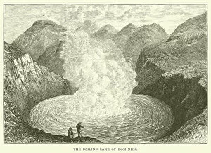
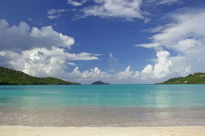
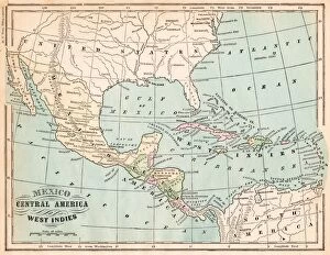
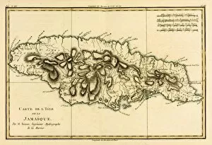
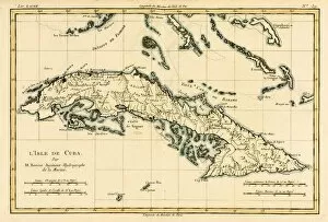
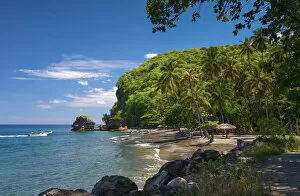
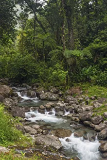
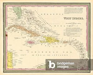
"Exploring the Enchanting Antilles: Unveiling the Caribbean Islands of the 1870s" Step into a time machine and journey back to the vibrant Antilles of the 19th century. With a map of Saint Lucia from that era in hand, you can trace your way through a tapestry of captivating landscapes and cultures. As you set foot on the Turks and Caicos islands, prepare to be mesmerized by their colorful buildings that paint an idyllic picture against azure skies. The allure continues as you venture further into St Lucia's Soufriere Bay, where Soufriere Beach and Petit Piton (a UNESCO World Heritage site) await your exploration. Take another leap in time with an English engraved map from 1775, which unveils The Caribee Islands stretching from Puerto Rico to Barbados. Marvel at this historical treasure while imagining what life was like during those early days. Nature lovers will find solace in Aruba's natural bridge, nestled within Central America's enchanting Antilles region. Its majestic presence serves as a reminder of Mother Nature's artistic prowess. Barbados beckons with its picturesque beaches such as Miami Beach or Enterprise Beach, offering not only sun-kissed sands but also lifeguard lookouts for safety-conscious travelers. Mullins Beach provides yet another slice of paradise for those seeking tranquility amidst turquoise waters. Martinique invites visitors to Les Anse d'Arlet, where Grand Anse Beach awaits with open arms. Sink your toes into its golden sand while immersing yourself in the rich culture that permeates every corner of this Caribbean gem. Travel back even further with a vintage map dating back to the 1860s showcasing West India Islands – each one holding stories waiting to be discovered by intrepid adventurers like yourself. Rooftops adorned with history greet you in Roseau-Dominica, inviting you to explore its hidden treasures.