
Anson Close Collection
Exploring the hidden gems of Anson Close: From Wolverhampton to Daventry, this diverse neighborhood offers a tapestry of communities


All Professionally Made to Order for Quick Shipping
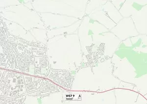
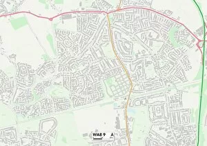
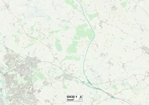
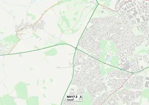
Exploring the hidden gems of Anson Close: From Wolverhampton to Daventry, this diverse neighborhood offers a tapestry of communities. Discover the charm of Lichfield's historic streets (WS7 9 Map) or embrace nature in South Staffordshire's scenic landscapes (WS6 6 Map). Experience the warmth of Bassetlaw's welcoming community spirit (S81 7 Map), or indulge in leisurely pursuits along Halton's picturesque waterfront (WA8 9 Map). Uncover Hampshire's rich history and stunning coastal views (PO9 3 Map), while Havering beckons with its vibrant local culture and bustling markets (RM7 8 Map). Immerse yourself in South Oxfordshire's idyllic countryside and quaint villages (OX33 1 Map), or embark on outdoor adventures amidst Huntingdonshire’s breathtaking scenery (PE26 2 Map). Enjoy Stockport’s lively atmosphere and thriving arts scene, nestled within its charming town center (SK7 1Map). Delight in Corby’s modern amenities alongside its industrial heritage (NN17 2Map), before discovering Daventry’s timeless beauty and tranquil surroundings (NN11 4Map). A gateway to endless exploration, where each corner holds unique wonders waiting to be discovered.