Fraud Blocker Skip to main content

Albion Street Collection

Albion Street, a name that echoes through various towns and cities across the United Kingdom

Background imageAlbion Street Collection: Lewes BN7 2 Map

Lewes BN7 2 Map
Postcode Sector Map of Lewes BN7 2

Background imageAlbion Street Collection: Tameside OL6 6 Map

Tameside OL6 6 Map
Postcode Sector Map of Tameside OL6 6

Background imageAlbion Street Collection: Cannock Chase WS15 2 Map

Cannock Chase WS15 2 Map
Postcode Sector Map of Cannock Chase WS15 2

Background imageAlbion Street Collection: Wolverhampton WV10 0 Map

Wolverhampton WV10 0 Map
Postcode Sector Map of Wolverhampton WV10 0

Background imageAlbion Street Collection: Wakefield WF1 3 Map

Wakefield WF1 3 Map
Postcode Sector Map of Wakefield WF1 3

Background imageAlbion Street Collection: Stockton-on-Tees TS18 1 Map

Stockton-on-Tees TS18 1 Map
Postcode Sector Map of Stockton-on-Tees TS18 1

Background imageAlbion Street Collection: Telford and Wrekin TF2 9 Map

Telford and Wrekin TF2 9 Map
Postcode Sector Map of Telford and Wrekin TF2 9

Background imageAlbion Street Collection: Rossendale OL13 9 Map

Rossendale OL13 9 Map
Postcode Sector Map of Rossendale OL13 9

Background imageAlbion Street Collection: Conwy LL30 2 Map

Conwy LL30 2 Map
Postcode Sector Map of Conwy LL30 2

Background imageAlbion Street Collection: Brighton and Hove BN2 9 Map

Brighton and Hove BN2 9 Map
Postcode Sector Map of Brighton and Hove BN2 9

Background imageAlbion Street Collection: Bradford BD6 2 Map

Bradford BD6 2 Map
Postcode Sector Map of Bradford BD6 2

Background imageAlbion Street Collection: B Birmingham, B79 7

B Birmingham, B79 7
B79 7

Background imageAlbion Street Collection: BL Bolton, BL3 6

BL Bolton, BL3 6
BL3 6

Background imageAlbion Street Collection: Bolton BL5 3 Map

Bolton BL5 3 Map
Postcode Sector Map of Bolton BL5 3

Background imageAlbion Street Collection: Burnley BB11 4 Map

Burnley BB11 4 Map
Postcode Sector Map of Burnley BB11 4

Background imageAlbion Street Collection: Sir Ashton Lever (engraving)

Sir Ashton Lever (engraving)
610697 Sir Ashton Lever (engraving) by English School, (19th century); Private Collection; (add.info.: Sir Ashton Lever); Look and Learn / Peter Jackson Collection; English, out of copyright

Background imageAlbion Street Collection: Rotunda at the Leverian Museum (engraving)

Rotunda at the Leverian Museum (engraving)
610696 Rotunda at the Leverian Museum (engraving) by English School, (18th century); Private Collection; (add.info.: Perspective View of the Rotunda at the Leverian Museum, Albion Street)

Background imageAlbion Street Collection: Rotunda at the Leverian Museum (engraving)

Rotunda at the Leverian Museum (engraving)
610695 Rotunda at the Leverian Museum (engraving) by English School, (18th century); Private Collection; (add.info.: Perspective View of the Rotunda at the Leverian Museum, Albion Street)

Background imageAlbion Street Collection: Leeds WF3 3 Map

Leeds WF3 3 Map
Postcode Sector Map of Leeds WF3 3

Background imageAlbion Street Collection: Wolverhampton WV13 1 Map

Wolverhampton WV13 1 Map
Postcode Sector Map of Wolverhampton WV13 1

Background imageAlbion Street Collection: York YO1 9 Map

York YO1 9 Map
Postcode Sector Map of York YO1 9

Background imageAlbion Street Collection: Wolverhampton WV14 7 Map

Wolverhampton WV14 7 Map
Postcode Sector Map of Wolverhampton WV14 7

Background imageAlbion Street Collection: Redcar & Cleveland TS12 3 Map

Redcar & Cleveland TS12 3 Map
Postcode Sector Map of Redcar & Cleveland TS12 3

Background imageAlbion Street Collection: Staffordshire ST13 5 Map

Staffordshire ST13 5 Map
Postcode Sector Map of Staffordshire ST13 5

Background imageAlbion Street Collection: Swindon SN1 5 Map

Swindon SN1 5 Map
Postcode Sector Map of Swindon SN1 5

Background imageAlbion Street Collection: Sunderland SR4 0 Map

Sunderland SR4 0 Map
Postcode Sector Map of Sunderland SR4 0

Background imageAlbion Street Collection: Tameside SK15 2 Map

Tameside SK15 2 Map
Postcode Sector Map of Tameside SK15 2

Background imageAlbion Street Collection: Westminster W2 2 Map

Westminster W2 2 Map
Postcode Sector Map of Westminster W2 2

Background imageAlbion Street Collection: Wigan WN2 5 Map

Wigan WN2 5 Map
Postcode Sector Map of Wigan WN2 5

Background imageAlbion Street Collection: Kirklees WF17 5 Map

Kirklees WF17 5 Map
Postcode Sector Map of Kirklees WF17 5

Background imageAlbion Street Collection: Kirklees WF16 9 Map

Kirklees WF16 9 Map
Postcode Sector Map of Kirklees WF16 9

Background imageAlbion Street Collection: Kirklees WF15 7 Map

Kirklees WF15 7 Map
Postcode Sector Map of Kirklees WF15 7

Background imageAlbion Street Collection: Kirklees WF13 3 Map

Kirklees WF13 3 Map
Postcode Sector Map of Kirklees WF13 3

Background imageAlbion Street Collection: Kirklees WF13 2 Map

Kirklees WF13 2 Map
Postcode Sector Map of Kirklees WF13 2

Background imageAlbion Street Collection: Wakefield WF10 1 Map

Wakefield WF10 1 Map
Postcode Sector Map of Wakefield WF10 1

Background imageAlbion Street Collection: Wakefield WF9 5 Map

Wakefield WF9 5 Map
Postcode Sector Map of Wakefield WF9 5

Background imageAlbion Street Collection: East Riding of Yorkshire YO25 6 Map

East Riding of Yorkshire YO25 6 Map
Postcode Sector Map of East Riding of Yorkshire YO25 6

Background imageAlbion Street Collection: St. Helens WA10 2 Map

St. Helens WA10 2 Map
Postcode Sector Map of St. Helens WA10 2

Background imageAlbion Street Collection: Pembrokeshire SA73 2 Map

Pembrokeshire SA73 2 Map
Postcode Sector Map of Pembrokeshire SA73 2

Background imageAlbion Street Collection: Teignbridge TQ14 0 Map

Teignbridge TQ14 0 Map
Postcode Sector Map of Teignbridge TQ14 0

Background imageAlbion Street Collection: Renfrewshire PA3 2 Map

Renfrewshire PA3 2 Map
Postcode Sector Map of Renfrewshire PA3 2

Background imageAlbion Street Collection: Staffordshire ST1 1 Map

Staffordshire ST1 1 Map
Postcode Sector Map of Staffordshire ST1 1

Background imageAlbion Street Collection: South Holland PE12 7 Map

South Holland PE12 7 Map
Postcode Sector Map of South Holland PE12 7

Background imageAlbion Street Collection: South Holland PE11 2 Map

South Holland PE11 2 Map
Postcode Sector Map of South Holland PE11 2

Background imageAlbion Street Collection: South Kesteven PE6 0 Map

South Kesteven PE6 0 Map
Postcode Sector Map of South Kesteven PE6 0

Background imageAlbion Street Collection: Sheffield S6 3 Map

Sheffield S6 3 Map
Postcode Sector Map of Sheffield S6 3

Background imageAlbion Street Collection: Southwark SE16 4 Map

Southwark SE16 4 Map
Postcode Sector Map of Southwark SE16 4

Background imageAlbion Street Collection: West Oxfordshire OX7 5 Map

West Oxfordshire OX7 5 Map
Postcode Sector Map of West Oxfordshire OX7 5


All Professionally Made to Order for Quick Shipping

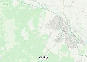
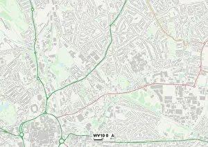
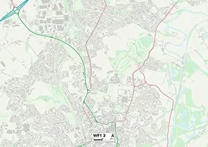
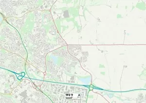
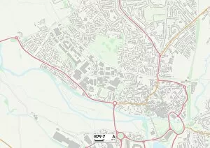
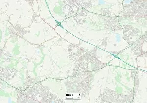
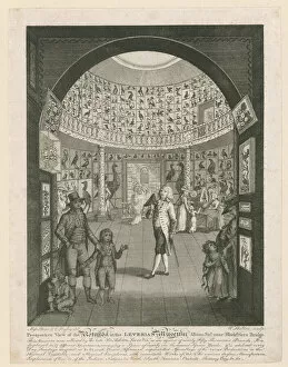
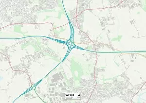
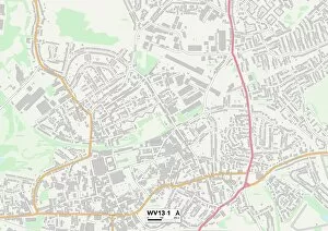
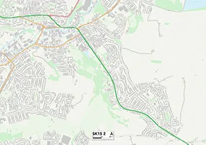
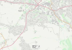
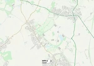
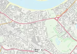
Albion Street, a name that echoes through various towns and cities across the United Kingdom. From Lewes to Wolverhampton, Cannock Chase to Wakefield, Telford and Wrekin to Conwy, this street has left its mark on different corners of the country. In Lewes BN7 2 Map, Albion Street stands as a bustling hub of activity. Its vibrant shops and cafes invite locals and tourists alike to explore its charming surroundings. The map reveals the winding path of this historic street, connecting people from all walks of life. Moving northwards to Wolverhampton WV10 0 Map, Albion Street takes on a new character. Here it becomes a symbol of resilience and strength in an ever-evolving cityscape. The map showcases how this street weaves through neighborhoods, bridging communities together. Journeying further into Cannock Chase WS15 2 Map unveils another facet of Albion Street's story. Nestled amidst nature's beauty, it offers residents a peaceful retreat from the hustle and bustle of daily life. As depicted on the map, this serene setting is dotted with quaint homes that line Albion Street. Wakefield WF1 3 Map presents yet another perspective on Albion Street's significance. It serves as a vital artery within the city's heart - pulsating with energy day in and day out. This map highlights how businesses thrive along its length while also providing convenient access for pedestrians navigating their way around town. Telford and Wrekin TF2 9 Map introduce us to an Albion Street that embraces modernity without losing touch with its rich heritage. The carefully planned layout showcased on the map demonstrates how old meets new seamlessly here – where historical buildings coexist harmoniously alongside contemporary structures. Conwy LL30 2 Map paints an enchanting picture against Wales' stunning backdrop. With medieval walls surrounding it like guardians, this street exudes a sense of timelessness.