
African Collection
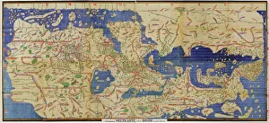
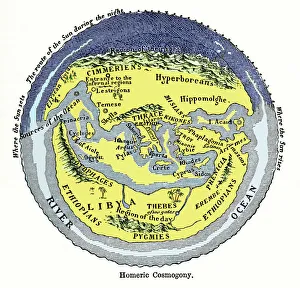
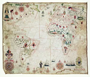
"A Glimpse into the Rich Tapestry of Africa: From Ancient Art to Modern Marvels" Step back in time with Al-Idrisi's world map from 1154


All Professionally Made to Order for Quick Shipping
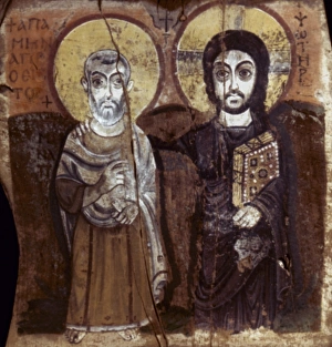
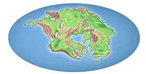
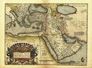
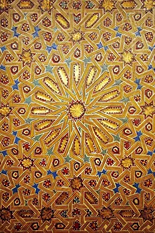
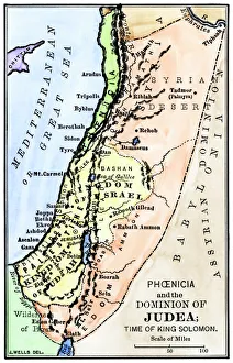
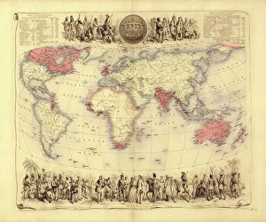
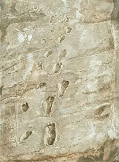
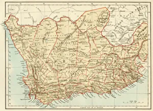
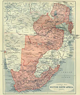
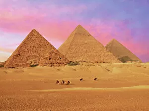
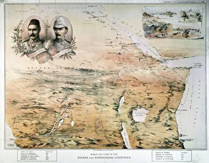
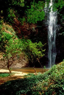
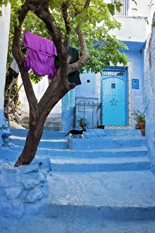
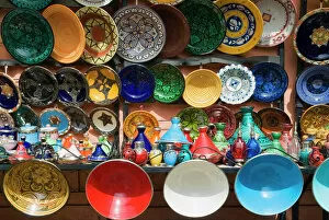
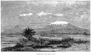
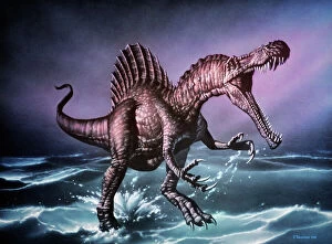
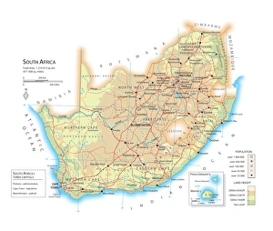
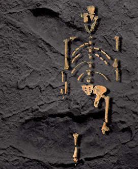
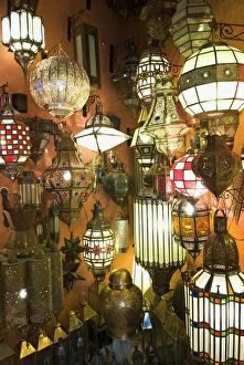
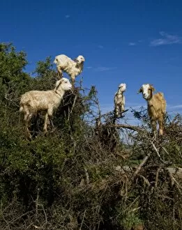
"A Glimpse into the Rich Tapestry of Africa: From Ancient Art to Modern Marvels" Step back in time with Al-Idrisi's world map from 1154, where Africa takes center stage as a land of mystery and wonder. Explore Egypt's Coptic art, marveling at the intricate painting on wood depicting Christ and Abbot Mena, dating back to the 7th century A. D. Witness the incredible power of continental drift over 250 million years, shaping Africa's diverse landscapes and creating its breathtaking natural wonders. Journey through history with the British Empire world map from the 19th century, showcasing Africa's pivotal role in global affairs. Delve into ancient Palestine as you study a map detailing the kingdoms of Judah and Israel. Admire a stunning Moroccan wall feature from the 19th century that reflects Africa's rich cultural heritage. Discover Ottoman influence through Orteliuss' map from 1570, highlighting their vast empire that stretched across continents. Immerse yourself in African-American culture by celebrating Scott Joplin, an iconic pianist and composer who revolutionized music during his time. Encounter Lycaon pictus, a majestic canid found exclusively in African savannas and lightly wooded areas - a symbol of resilience amidst changing landscapes. Unearth Laetoli fossil footprints that provide evidence of our human ancestors walking on African soil millions of years ago. Finally, explore Oronce Fines' world map from 1531 which showcases Africa as an integral part of global exploration during this era. And lastly but not leastly delve into South Africa’s history with Cape Colony being depicted on an intriguing historical map. Africa is more than just a continent; it is an extraordinary tapestry woven together by centuries-old cultures, geological transformations, artistic masterpieces, musical legacies, and remarkable biodiversity. Let us celebrate this vibrant land that continues to captivate our hearts and minds.