Home > North America > United States of America > Lakes > Lake Huron
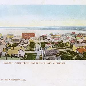
Map of St. Marys River and Sault Ste. Marie, MI, c.1900 (engraving)
")
![]()
Wall Art and Photo Gifts from Fine Art Finder
Map of St. Marys River and Sault Ste. Marie, MI, c.1900 (engraving)
533450 Map of St. Marys River and Sault Ste. Marie, MI, c.1900 (engraving); (add.info.: Map of St. Marys River and Sault Ste. Marie, Michigan, circa 1902, from the 10th edition of Encyclopaedia Britannica.); Encyclopaedia Britannica/UIG
Media ID 38309866
© Encyclopaedia Britannica/UIG / Bridgeman Images
1902 19th Century Style Boundary Cut Out Geographical Border Guidance Illustration Technique Lake Huron Michigan Navigational Equipment Old Fashioned Peninsula Physical Geography The Past Western Script White Background
FEATURES IN THESE COLLECTIONS
> Fine Art Finder
> Temp Classification
> North America
> United States of America
> Lakes
> Lake Huron
> North America
> United States of America
> Lakes
> Lake Michigan
> North America
> United States of America
> Lakes
> Related Images
> North America
> United States of America
> Maps
> North America
> United States of America
> Michigan
> Related Images
EDITORS COMMENTS
This stunning engraving from the 10th edition of Encyclopaedia Britannica showcases a detailed map of St. Marys River and Sault Ste. Marie, Michigan, circa 1902. The intricate cartography captures the beauty and complexity of the region's coastline, boundaries, and navigational routes with precision.
The old-fashioned style of this map evokes a sense of nostalgia for a bygone era of exploration and discovery. The use of western script adds to its historical charm, while the vertical orientation gives it a unique perspective that draws viewers in.
As we gaze upon this piece, we are transported back in time to when physical geography was charted using pen and paper, before the age of digital mapping technology. The illustration technique used in this print is truly masterful, capturing every detail with care and accuracy.
From Lake Huron to the peninsula of Michigan, every feature on this map is meticulously rendered for both practical navigation and aesthetic appreciation. This artwork serves as a reminder of our connection to the past and the importance of understanding our geographical heritage.
With no people present in the image, we are left to marvel at the sheer beauty and complexity of nature's design as captured by this exquisite illustration. Truly a work of art that deserves admiration for its historical significance and artistic merit.
MADE IN THE UK
Safe Shipping with 30 Day Money Back Guarantee
FREE PERSONALISATION*
We are proud to offer a range of customisation features including Personalised Captions, Color Filters and Picture Zoom Tools
SECURE PAYMENTS
We happily accept a wide range of payment options so you can pay for the things you need in the way that is most convenient for you
* Options may vary by product and licensing agreement. Zoomed Pictures can be adjusted in the Basket.