
Maps Collection
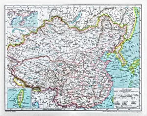
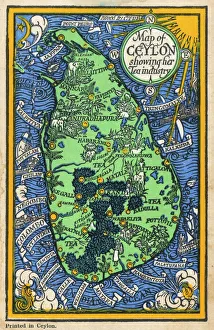
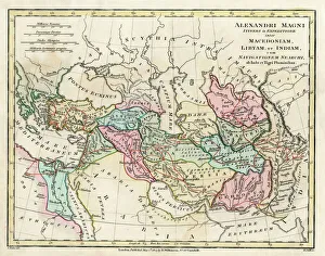
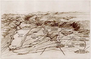
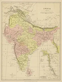
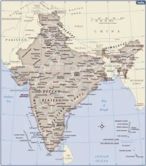
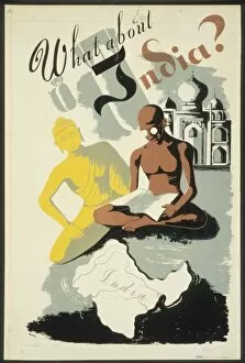
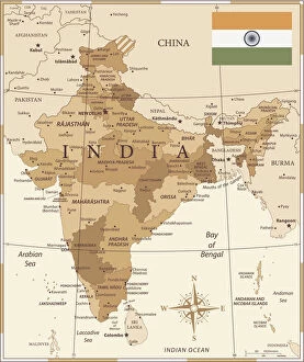
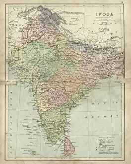
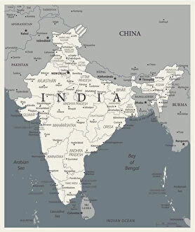
Maps of India Asia is a collection that depict the physical and political features of India and its neighbouring countries
Choose a picture from our Maps Collection for your Wall Art and Photo Gifts
894 items


All Professionally Made to Order for Quick Shipping
-
Maps Collection
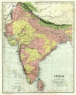
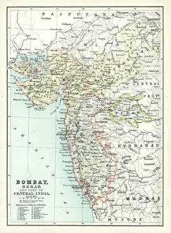
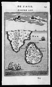
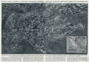
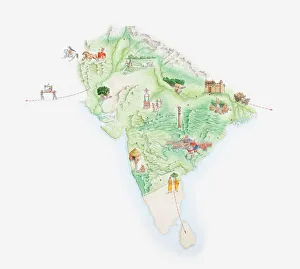
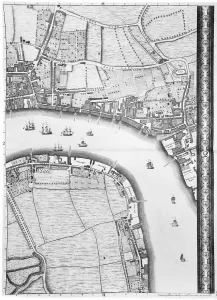
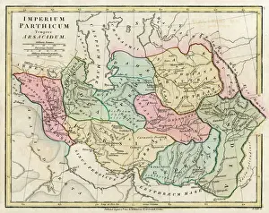
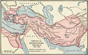
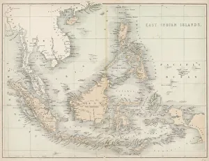
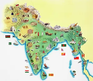
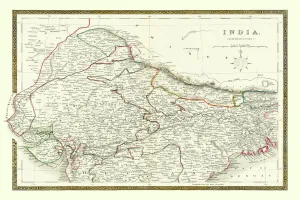
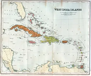
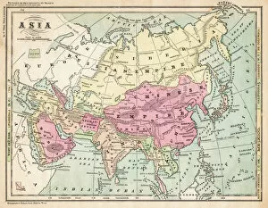
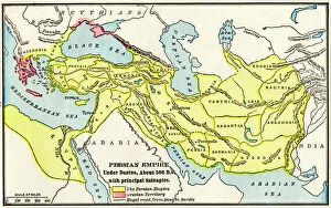
Maps of India Asia is a collection that depict the physical and political features of India and its neighbouring countries. It includes detailed maps of the Indian subcontinent, including India, Pakistan, Bangladesh, Nepal, Bhutan, Sri Lanka and Maldives. Our collection also includes maps showing the major rivers and mountain ranges in the region as well as cities and towns. Additionally, it contains information on climate zones in India along with population density data for each state. Maps of India Asia are an invaluable resource for anyone interested in learning more about this fascinating region.
+
Our beautiful pictures are available as Framed Prints, Photos, Wall Art and Photo Gifts
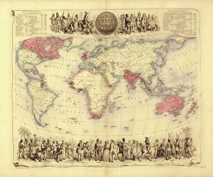
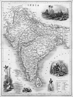
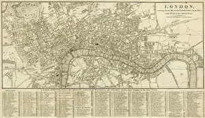
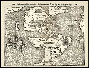
The Maps of India Asia collection from Media Storehouse is a stunning assortment of wall art and framed prints that showcase the beauty and diversity of the Indian subcontinent. Our collection features an array of maps, ranging from antique to contemporary, that depict various regions, cities, and landmarks across India and its neighboring countries in Asia. Each print is carefully crafted using high-quality materials to ensure durability and longevity. The Maps of India Asia collection offers something for everyone - whether you're a history buff looking for vintage maps or a traveler seeking inspiration for your next adventure. These prints are perfect for adding character to any room in your home or office space. They also make great gifts for friends and family who share an interest in geography or culture. The Maps of India Asia collection is a must-have for anyone who appreciates fine art and wants to celebrate the rich heritage and vibrant landscapes of this fascinating region.
+
What are Maps of India Asia art prints?
Maps of India Asia art prints are high-quality reproductions of maps that depict the geographical features, political boundaries, and cultural landmarks of India and its surrounding regions. These prints are created using advanced printing techniques that ensure their accuracy and durability. These art prints are not only informative but also visually appealing, making them ideal for decorating homes, offices or educational institutions. They come in a variety of sizes to suit different needs and preferences. Maps of India Asia art prints can be used for various purposes such as studying geography, planning travel itineraries or simply admiring the beauty of these regions. They also make great gifts for anyone interested in history or culture. Whether you're looking to add some color to your walls or enhance your knowledge about the world around you, Maps of India Asia art prints offer an excellent way to do so.
+
What Maps of India Asia art prints can I buy from Media Storehouse?
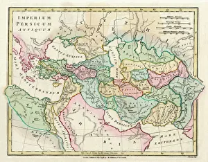
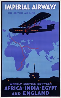
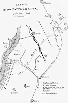
We offer a wide range of Maps of India Asia art prints that are perfect for decorating your home or office. You can choose from a variety of styles and sizes, including vintage maps, satellite images, and artistic renderings. These prints showcase the beauty and diversity of India and Asia's landscapes, cities, cultures, and history. Some popular options include antique maps featuring intricate details of Indian kingdoms and empires; colorful illustrations depicting famous landmarks like the Taj Mahal or Mount Everest; contemporary designs showcasing modern cities such as Mumbai or Tokyo; and topographic maps highlighting natural features like rivers, mountains, or deserts. Whether you're looking for a unique gift for a travel enthusiast or want to add some cultural flair to your decor, we have something for everyone. With high-quality printing techniques on premium paper stock materials used in every print we offer an extensive collection that is sure to impress any art lover.
+
How do I buy Maps of India Asia art prints?
To purchase Maps of India Asia art prints from Media Storehouse, you can browse our vast collection online and select the print that catches your eye. Once you have found the perfect piece, simply add it to your cart and proceed to checkout. You will be prompted to enter your shipping information and payment details before finalizing your order. We offer a variety of sizes and framing options for their art prints, so be sure to choose the one that best fits your needs. Their high-quality printing process ensures that each print is vibrant and true-to-life, making them an excellent addition to any home or office space. Whether you are looking for a unique gift or want to spruce up your own decor, Maps of India Asia art prints from Media Storehouse are a great choice. With easy ordering and fast delivery times, it has never been easier to bring beautiful artwork into your life.
+
How much do Maps of India Asia art prints cost?
We offer a wide range of Maps of India Asia art prints at varying prices. Our collection includes vintage maps, contemporary designs, and everything in between. The cost of our art prints depends on several factors such as the size, type of paper or canvas used, and the complexity of the design. We strive to provide affordable options for all budgets while maintaining high-quality standards. Our you can choose from different sizes ranging from small to large formats that suit their preferences and needs. Our Maps of India Asia art prints are perfect for home decor or office spaces and make great gifts for those who love travel or geography. We take pride in offering unique and beautiful artwork that captures the essence of this diverse region. Our Maps of India Asia art prints are reasonably priced without compromising on quality so that everyone can enjoy them regardless of their budget.
+
How will my Maps of India Asia art prints be delivered to me?
We take great care in delivering your Maps of India Asia art prints to you. We use high-quality packaging materials to ensure that your artwork arrives safely and undamaged. Depending on the size and quantity of your order, we may use either a sturdy cardboard tube or a flat package with protective padding. We work with trusted delivery partners who are experienced in handling delicate items like artwork. They will deliver your Maps of India Asia art prints directly to your doorstep, ensuring that they arrive in pristine condition. When you receive your order, please inspect it carefully for any damage during transit. If there is any issue with the delivery or quality of the product, please contact our customer service team immediately so that we can resolve it as quickly as possible. You can trust us at Media Storehouse to deliver your Maps of India Asia art prints safely and securely right to your door.