
Maps Collection
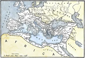
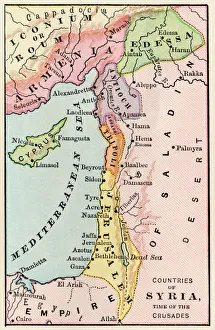
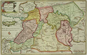
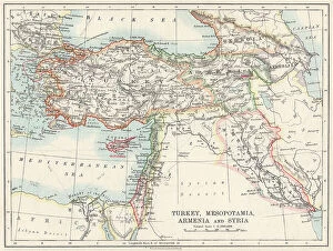
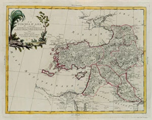
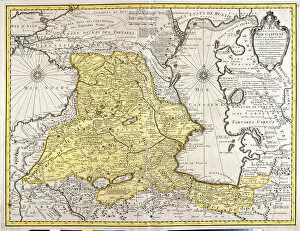
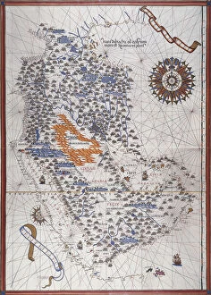
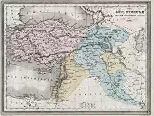
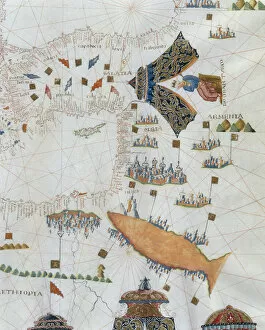
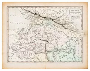
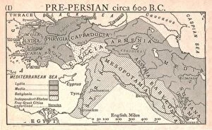
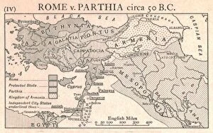
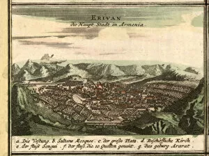
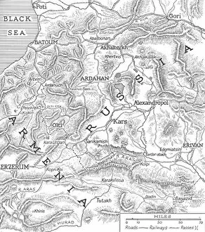
Maps of Armenia Asia are maps that show the physical features of the country, such as its mountains, rivers, and lakes
Choose a picture from our Maps Collection for your Wall Art and Photo Gifts
76 items


All Professionally Made to Order for Quick Shipping
-
Maps Collection
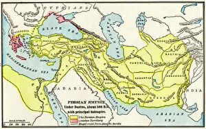
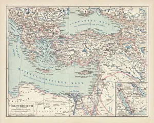
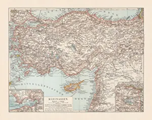
Maps of Armenia Asia are maps that show the physical features of the country, such as its mountains, rivers, and lakes. They also show political boundaries and major cities. The maps often include information about population density, transportation networks, and other important facts about the region. Maps of Armenia Asia can be used to plan trips or explore the country's history and culture and can also be used to study geography or for research purposes. Maps of Armenia Asia provide a comprehensive view of this fascinating region in one convenient package.
+
Our beautiful pictures are available as Framed Prints, Photos, Wall Art and Photo Gifts
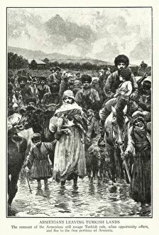
The Maps of Armenia Asia collection from Media Storehouse is a stunning compilation of vintage and contemporary maps that showcase the rich history and cultural heritage of Armenia. Our collection features an array of beautifully crafted maps, including antique hand-drawn maps, lithographs, engravings, and modern-day cartography. Each map in our collection offers a unique perspective on Armenia's geography, topography, landmarks, cities, towns, rivers and lakes. They also provide valuable insights into the country's political boundaries over time. The Maps of Armenia Asia collection is perfect for anyone interested in exploring this fascinating region or for those who want to add a touch of sophistication to their home decor. Whether you're looking for wall art or framed prints to adorn your living room or office space with beautiful images that tell stories about Armenian culture and history - our collection has something for everyone.
+
What are Maps of Armenia Asia art prints?
Maps of Armenia Asia art prints are high-quality reproductions of maps that depict the geography and topography of Armenia, a country located in the South Caucasus region of Eurasia. These art prints showcase the intricate details and features of the Armenian landscape, including its mountains, rivers, valleys, and cities. These maps have been carefully crafted by skilled cartographers and artists to provide an accurate representation of Armenia's terrain. They can be used for educational purposes or as decorative pieces in homes or offices. Maps of Armenia Asia art prints come in a variety of sizes and formats to suit different needs. Some are printed on canvas while others are produced on fine art paper. They make great gifts for anyone interested in geography or history, as well as those who appreciate beautiful artwork. Maps of Armenia Asia art prints offer a unique way to explore this fascinating country from afar and bring a touch of culture into any space they adorn.
+
What Maps of Armenia Asia art prints can I buy from Media Storehouse?
We offer a wide range of Maps of Armenia Asia art prints that you can buy. These maps are available in different sizes and styles to suit your preferences. You can choose from vintage maps, modern maps, political maps, physical maps, topographic maps, and more. The Maps of Armenia Asia art prints come in various colors and designs that showcase the beauty and uniqueness of this region. Our collection features high-quality prints that are produced using state-of-the-art printing technology to ensure excellent color accuracy and sharpness. The company uses premium materials such as archival paper to guarantee long-lasting durability for your artwork. Whether you're looking for a decorative piece for your home or office or an educational tool for your classroom or library, we have got you covered with their diverse selection of Maps of Armenia Asia art prints.
+
How do I buy Maps of Armenia Asia art prints?
To buy Maps of Armenia Asia art prints from Media Storehouse, you can browse our extensive collection online. Simply search for "Maps of Armenia Asia" in the search bar on our website and select the print that you like best. Once you have chosen your desired print, add it to your cart and proceed to checkout. At checkout, you will be prompted to enter your shipping information and payment details. We accept a variety of payment methods including credit cards and PayPal. Once your order has been processed, your Maps of Armenia Asia art print will be printed on high-quality paper using state-of-the-art printing technology. Your print will then be carefully packaged and shipped directly to your doorstep. Buying Maps of Armenia Asia art prints from Media Storehouse is a simple process that allows you to bring beautiful artwork into your home or office with ease.
+
How much do Maps of Armenia Asia art prints cost?
We offer a wide range of Maps of Armenia Asia art prints that cater to different budgets and preferences. Our collection includes high-quality prints in various sizes and formats, such as canvas, framed or unframed paper prints. The cost of our Maps of Armenia Asia art prints varies depending on the size and format you choose. We strive to provide affordable options for all customers while maintaining the quality standards that we are known for. Our Maps of Armenia Asia art prints make great additions to any home or office decor, adding a touch of sophistication and cultural significance. They also make unique gifts for friends or family members who appreciate fine art or have an interest in geography. Our prices are competitive within the market without compromising on quality. We believe everyone should be able to enjoy beautiful artwork at an affordable price point.
+
How will my Maps of Armenia Asia art prints be delivered to me?
We take great care in delivering your Maps of Armenia Asia art prints to you. We use high-quality packaging materials to ensure that your print arrives in perfect condition. Your print will be carefully rolled and placed inside a sturdy cardboard tube for protection during transit. We work with trusted delivery partners who offer reliable and efficient shipping services worldwide. Once your order has been processed, we will provide you with a tracking number so that you can keep track of its progress. We understand the importance of receiving your artwork promptly and securely. That's why we strive to deliver all orders as quickly as possible while ensuring that they are handled with the utmost care. Your Maps of Armenia Asia art prints will be delivered to you safely and securely using high-quality packaging materials and reliable shipping services.