Fraud Blocker Skip to main content

Home > All Images > 2010 > March > 2 Mar 2010

Images Dated 2nd March 2010 (page 9)

614 items

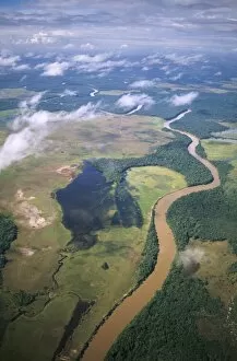
Background imageImages Dated 2nd March 2010: Aerial image of Yuruani River near Masu-paru-mota, Canaima National Park

Aerial image of Yuruani River near Masu-paru-mota, Canaima National Park, UNESCO World Heritage Site, La Gran Sabana, Bolivar State, Venezuela, South America

Background imageImages Dated 2nd March 2010: Aerial image of skeleton forest, damaged by forest fire, on La Gran Sabana

Aerial image of skeleton forest, damaged by forest fire, on La Gran Sabana, Canaima National Park, UNESCO World Heritage Site, Bolivar State, Venezuela, South America

Background imageImages Dated 2nd March 2010: Dark Field Light Micrograph of a male Mosquito (Anopheles sp. ), magnification x 65

Dark Field Light Micrograph of a male Mosquito (Anopheles sp. ), magnification x 65
Dark Field Light Micrograph of a male Mosquito (Anopheles sp.), magnification x 65 (if print A4 size: 29.7 cm wide)

Background imageImages Dated 2nd March 2010: Orecchiette (little ears), a type of pasta of Apulia, with broccoli rabe and salted fish

Orecchiette (little ears), a type of pasta of Apulia, with broccoli rabe and salted fish (Orecchiette con cime di rapa), Italy, Europe

Background imageImages Dated 2nd March 2010: Aerial image of Haytor (Hay Tor) and Haytor Rocks, granite rock outcrop

Aerial image of Haytor (Hay Tor) and Haytor Rocks, granite rock outcrop, Haytor Vale, Dartmoor, Devon, England, United Kingdom, Europe

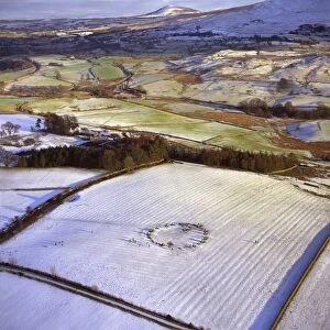
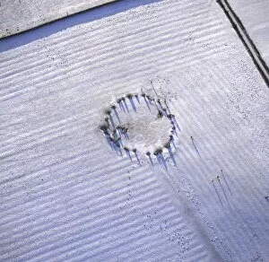
Background imageImages Dated 2nd March 2010: Aerial image of Castlerigg Stone Circle, a prehistoric monument in snow

Aerial image of Castlerigg Stone Circle, a prehistoric monument in snow, near Keswick, Lake District National Park, Cumbria, England, United Kingdom, Europe

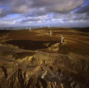
Background imageImages Dated 2nd March 2010: Aerial image of wind farm at Kirkby Moor, Cumbria, England, United Kingdom, Europe

Aerial image of wind farm at Kirkby Moor, Cumbria, England, United Kingdom, Europe

Background imageImages Dated 2nd March 2010: Aerial image of mudflats at sunset, Solway Firth, border between Cumbria in England

Aerial image of mudflats at sunset, Solway Firth, border between Cumbria in England and Dumfries and Galloway in Scotland, United Kingdom, Europe

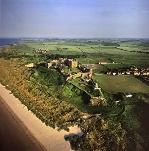
Background imageImages Dated 2nd March 2010: Aerial image of Bamburgh Castle, a Norman castle built on a basalt outcrop on the coast

Aerial image of Bamburgh Castle, a Norman castle built on a basalt outcrop on the coast, Bamburgh, Northumberland, England, United Kingdom, Europe

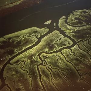
Background imageImages Dated 2nd March 2010: Aerial image of Salt Marsh on River Lune, Lancaster, Lancashire, England

Aerial image of Salt Marsh on River Lune, Lancaster, Lancashire, England, United Kingdom, Europe

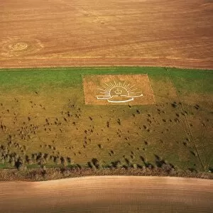
Background imageImages Dated 2nd March 2010: Aerial image of Lamb Down Military Badge, the badge of the Australian Commonwealth Military Forces

Aerial image of Lamb Down Military Badge, the badge of the Australian Commonwealth Military Forces, cut on a steep slope by the A36, Lamb Down, Wiltshire, England, United Kingdom, Europe

Background imageImages Dated 2nd March 2010: Aerial image of Castlerigg Stone Circle, a prehistoric monument in snow

Aerial image of Castlerigg Stone Circle, a prehistoric monument in snow, near Keswick, Lake District National Park, Cumbria, England, United Kingdom, Europe

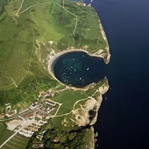
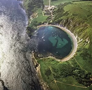
Background imageImages Dated 2nd March 2010: Aerial image of Lulworth Cove, a natural landform harbour, near West Lulworth

Aerial image of Lulworth Cove, a natural landform harbour, near West Lulworth, on the Jurassic Coast, UNESCO World Heritage Site, Dorset, England, United Kingdom, Europe

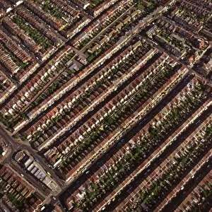
Background imageImages Dated 2nd March 2010: Aerial image of terraced housing, Portsmouth, Hampshire, England, United Kingdom, Europe

Aerial image of terraced housing, Portsmouth, Hampshire, England, United Kingdom, Europe

Background imageImages Dated 2nd March 2010: Aerial image of Silbury Hill, a prehistoric human-made chalk and clay mound near Avebury

Aerial image of Silbury Hill, a prehistoric human-made chalk and clay mound near Avebury, UNESCO World Heritage Site, Wiltshire, England, United Kingdom, Europe

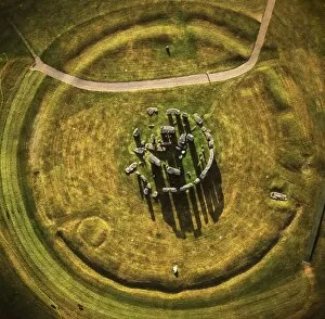
Background imageImages Dated 2nd March 2010: Aerial image of Stonehenge, prehistoric monument and stone circle, UNESCO World Heritage Site

Aerial image of Stonehenge, prehistoric monument and stone circle, UNESCO World Heritage Site, Salisbury Plain, Wiltshire, England, United Kingdom, Europe

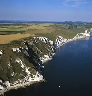
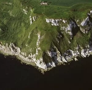
Background imageImages Dated 2nd March 2010: Aerial image of White Nothe, on the Jurassic Coast, UNESCO World Heritage Site

Aerial image of White Nothe, on the Jurassic Coast, UNESCO World Heritage Site, Dorset, England, United Kingdom, Europe

Background imageImages Dated 2nd March 2010: Aerial image of Lulworth Cove, a natural landform harbour, near West Lulworth

Aerial image of Lulworth Cove, a natural landform harbour, near West Lulworth, on the Jurassic Coast, UNESCO World Heritage Site, Dorset, England, United Kingdom, Europe

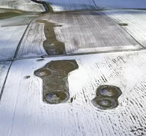
Background imageImages Dated 2nd March 2010: Aerial image of Normanton Down Barrows in snow, consisting of a Neolithic long barrow

Aerial image of Normanton Down Barrows in snow, consisting of a Neolithic long barrow and Bronze Age round barrows, Wiltshire, England, United Kingdom, Europe

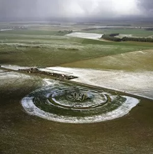
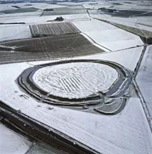
Background imageImages Dated 2nd March 2010: Aerial image of Stonehenge, prehistoric monument and stone circle in snow

Aerial image of Stonehenge, prehistoric monument and stone circle in snow, UNESCO World Heritage Site, Salisbury Plain, Wiltshire, England, United Kingdom, Europe

Background imageImages Dated 2nd March 2010: Aerial image of Old Harry Rocks, chalk stacks located directly east of Studland

Aerial image of Old Harry Rocks, chalk stacks located directly east of Studland, north of Swanage, Dorset, England, United Kingdom, Europe

Background imageImages Dated 2nd March 2010: Aerial image of fields and harvest, Wiltshire, England, United Kingdom, Europe

Aerial image of fields and harvest, Wiltshire, England, United Kingdom, Europe

Background imageImages Dated 2nd March 2010: Aerial image of Lulworth Cove, a natural landform harbour, near West Lulworth

Aerial image of Lulworth Cove, a natural landform harbour, near West Lulworth, on the Jurassic Coast, UNESCO World Heritage Site, Dorset, England, United Kingdom, Europe

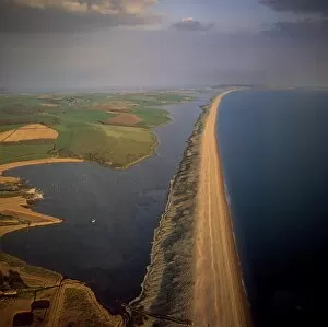
Background imageImages Dated 2nd March 2010: Aerial image of Chesil Beach (Chesil Bank), 29 km long shingle beach

Aerial image of Chesil Beach (Chesil Bank), 29 km long shingle beach, a tombolo connecting mainland to the Isle of Portland, Jurassic Coast, UNESCO World Heritage Site, Dorset, England

Background imageImages Dated 2nd March 2010: Aerial image of Stonehenge, prehistoric monument and stone circle, UNESCO World Heritage Site

Aerial image of Stonehenge, prehistoric monument and stone circle, UNESCO World Heritage Site, Salisbury Plain, Wiltshire, England, United Kingdom, Europe

Background imageImages Dated 2nd March 2010: Aerial image of Stonehenge, prehistoric monument and stone circle, UNESCO World Heritage Site

Aerial image of Stonehenge, prehistoric monument and stone circle, UNESCO World Heritage Site, Salisbury Plain, Wiltshire, England, United Kingdom, Europe

Background imageImages Dated 2nd March 2010: Aerial image of Beacon Hill, an Iron Age hill fort, Burghclere, Hampshire

Aerial image of Beacon Hill, an Iron Age hill fort, Burghclere, Hampshire, England, United Kingdom, Europe

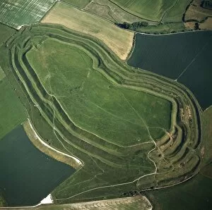
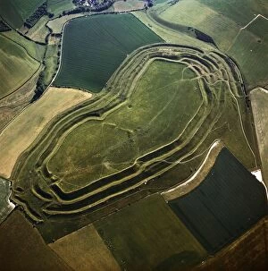
Background imageImages Dated 2nd March 2010: Aerial image of Maiden Castle, an Iron Age hill fort, Winterborne Monkton

Aerial image of Maiden Castle, an Iron Age hill fort, Winterborne Monkton, near Dorchester, Dorset, England, United Kingdom, Europe

Background imageImages Dated 2nd March 2010: Aerial image of Bury Hill Fort, Wiltshire, England, United Kingdom, Europe

Aerial image of Bury Hill Fort, Wiltshire, England, United Kingdom, Europe

Background imageImages Dated 2nd March 2010: Aerial image of West Kennet Long Barrow, a Neolithic tomb or barrow, on a prominent chalk ridge

Aerial image of West Kennet Long Barrow, a Neolithic tomb or barrow, on a prominent chalk ridge, near Silbury Hill, Avebury, Wiltshire, England, United Kingdom, Europe

Background imageImages Dated 2nd March 2010: Aerial image of Yarnbury Castle, a hill fort, in snow, Wiltshire, England

Aerial image of Yarnbury Castle, a hill fort, in snow, Wiltshire, England, United Kingdom, Europe

Background imageImages Dated 2nd March 2010: Aerial image of Maiden Castle, an Iron Age hill fort, Winterborne Monkton

Aerial image of Maiden Castle, an Iron Age hill fort, Winterborne Monkton, near Dorchester, Dorset, England, United Kingdom, Europe

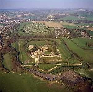
Background imageImages Dated 2nd March 2010: Aerial image of Carisbrooke Castle, a historic motte-and-bailey castle

Aerial image of Carisbrooke Castle, a historic motte-and-bailey castle, Carisbrooke, near Newport, Isle of Wight, England, United Kingdom, Europe

Background imageImages Dated 2nd March 2010: Aerial image of Rybury Camp, an Iron Age hill fort with Neolithic causewayed enclosure

Aerial image of Rybury Camp, an Iron Age hill fort with Neolithic causewayed enclosure, Wiltshire, England, United Kingdom, Europe

Background imageImages Dated 2nd March 2010: Aerial image of a pig farm, Wiltshire, England, United Kingdom, Europe

Aerial image of a pig farm, Wiltshire, England, United Kingdom, Europe

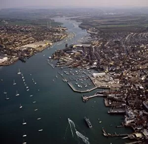
Background imageImages Dated 2nd March 2010: Aerial image of Cowes, on the west bank of the estuary of the River Medina facing the smaller town

Aerial image of Cowes, on the west bank of the estuary of the River Medina facing the smaller town of East Cowes on the east bank, Isle of Wight. England, United Kingdom, Europe

Background imageImages Dated 2nd March 2010: Aerial image of crop circle, Wiltshire, England, United Kingdom, Europe

Aerial image of crop circle, Wiltshire, England, United Kingdom, Europe

Background imageImages Dated 2nd March 2010: Aerial image of Longford Castle in snow, south of Salisbury, Wiltshire

Aerial image of Longford Castle in snow, south of Salisbury, Wiltshire, England, United Kingdom, Europe

Background imageImages Dated 2nd March 2010: Aerial image of Knowlton Henge, a Neolithic henge monument, and Knowlton Church

Aerial image of Knowlton Henge, a Neolithic henge monument, and Knowlton Church, a ruined Norman church, Dorset, England, United Kingdom, Europe

Background imageImages Dated 2nd March 2010: Aerial image of heart shape orchard, near Huish Hill earthwork, Oare, Wiltshire

Aerial image of heart shape orchard, near Huish Hill earthwork, Oare, Wiltshire, England, United Kingdom, Europe

Background imageImages Dated 2nd March 2010: Aerial image of heart shape orchard, near Huish Hill earthwork, Oare, Wiltshire

Aerial image of heart shape orchard, near Huish Hill earthwork, Oare, Wiltshire, England, United Kingdom, Europe

Background imageImages Dated 2nd March 2010: Aerial image of Maiden Castle, an Iron Age hill fort, Winterborne Monkton

Aerial image of Maiden Castle, an Iron Age hill fort, Winterborne Monkton, near Dorchester, Dorset, England, United Kingdom, Europe

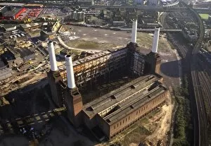
Background imageImages Dated 2nd March 2010: Aerial image of Battersea Power Station, an unused coal-fired power station on the south bank of

Aerial image of Battersea Power Station, an unused coal-fired power station on the south bank of the River Thames, Battersea, London, England, United Kingdom, Europe

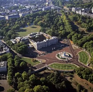
Background imageImages Dated 2nd March 2010: Aerial image of Buckingham Palace, City of Westminster, London, England

Aerial image of Buckingham Palace, City of Westminster, London, England, United Kingdom, Europe

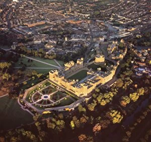
Background imageImages Dated 2nd March 2010: Aerial image of Windsor Castle, the largest inhabited castle in the world

Aerial image of Windsor Castle, the largest inhabited castle in the world, Windsor, Berkshire, England, United Kingdom, Europe

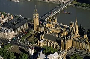
Background imageImages Dated 2nd March 2010: Aerial image of the Houses of Parliament (Palace of Westminster) and Big Ben

Aerial image of the Houses of Parliament (Palace of Westminster) and Big Ben, UNESCO World Heritage Site, Westminster, London, England, United Kingdom, Europe


All Professionally Made to Order for Quick Shipping


-

Why Choose Us?

We are a leading provider of Art Prints and Photo Gifts since 2004, working in partnership with a range of Sporting Clubs, Charities, Museums and Picture Libraries. A large share of profits from any of their images will go directly towards supporting that charity or club. Our archive of images is carefully curated to bring you a wide range of subjects, including landscapes, wildlife, architecture, and more. We ship from our partner labs in the UK, USA, EU (Netherlands) and Australia.
+

How do I place an order?

Ordering is quick & easy - Just follow 5 Simple Steps:
  1. Find your image: Use our search box or browse our online photo Collections to find the image you want.

  2. Choose your print format: Select your desired product and add it to your cart.

  3. Enter your details: If you're a returning customer, simply enter your email address and password, and we'll fill in your billing and shipping address details. All personal details are held securely and are fully GDPR compliant. As standard, we remove all Personally Identifiable Information after 12 months.

  4. Pay for your purchase: We use state-of-the-art security for online shopping and do not have access to your card details.

  5. Sit back and relax: We'll email you confirmation of your order and when it's dispatched. Registered customers can also track orders in the 'My Account' area.

+

How do I pay for an order?

You can pay for your order with most of the major credit and debit cards, or PayPal. For added security, major financial institutions process payment details separately and securely on our behalf. We do not have access to your online payment card details. Online payments are preferred however we do take phone orders. For UK customers only we accept cheques issued against a UK bank.
+

Is my data safe?

We take data security very seriously. We do not have access to your full card details and all payments are requested over a fully secure connection. Additionally, we fully comply with current European and GDPR legislation, and automatically remove all personal data after at most 12 months (unless you have an account with us and have signed in recently). We also have a strict opt-in policy and would never sell your personal details. Your data is only used to fulfill your order promptly and efficiently.
+

Is wall art ready to hang?

For quick and easy installation all wall art, including framed prints, canvas prints and metal prints are supplied with a ready to hang solution on the back. Generally, saw tooth hangers are applied as they allow wall art to hang flush against the wall. The serrated edge of the hanger prevents the frame from shifting or tilting when hung.
+

Are the photo prints fade resistant?

Yes, we use archival quality photo paper photographic paper for vivid reproduction Prints are an accurate representations of the original artwork, which is preserved for artistic character and authenticity. We guarantee they match previews shown on our web site