
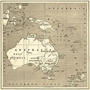
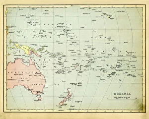
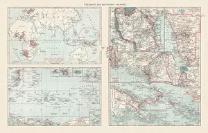
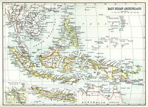
Maps Collection
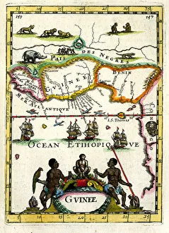
Maps of Guinea Africa provide a visual representation of the country's geography
Choose a picture from our Maps Collection for your Wall Art and Photo Gifts
203 items


All Professionally Made to Order for Quick Shipping
-
Maps Collection
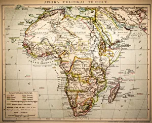
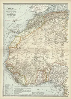
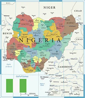
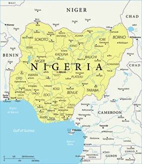
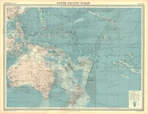
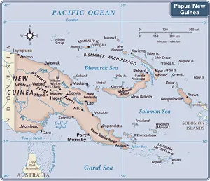
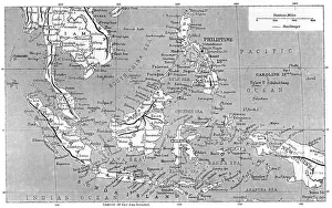
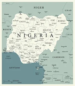
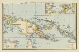
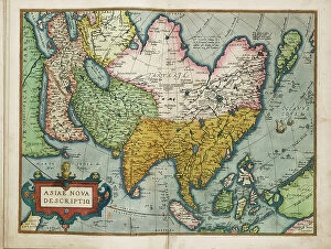
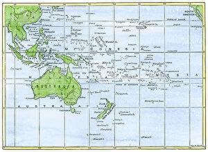
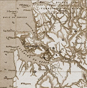
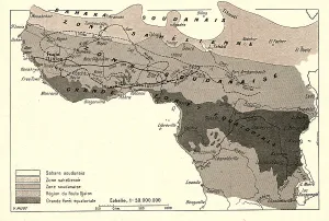
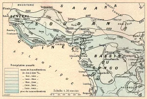
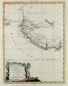
Maps of Guinea Africa provide a visual representation of the country's geography. It includes physical features such as rivers, mountains, and deserts as well as political boundaries between countries. The map also shows major cities and towns, roads, airports and other important infrastructure. Additionally, it provides information on the climate and vegetation in different parts of the country. Maps of Guinea Africa are useful for travelers who want to plan their trip or for people who are interested in learning more about this part of the world and can be used to gain an understanding of the region's culture and history as well as its current political situation.
+
Our beautiful pictures are available as Framed Prints, Photos, Wall Art and Photo Gifts
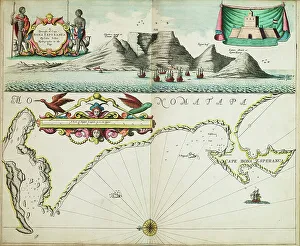
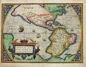
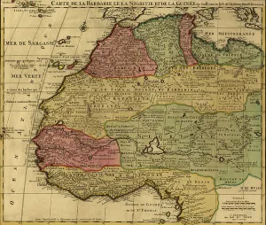
The Maps of Guinea Africa collection from Media Storehouse is a stunning compilation of vintage and contemporary maps depicting the West African country. Our collection features a range of maps, including topographical, political, and historical maps that showcase the diverse geography and rich history of Guinea. These high-quality prints are available in various sizes and formats such as canvas art prints or framed wall art to suit any decor style. The Maps of Guinea Africa collection offers an excellent opportunity for anyone interested in African history or geography to explore this fascinating country's past and present. Whether you're looking for a unique piece of wall art to decorate your home or office space or searching for educational resources on Guinea's culture, our collection has something for everyone. The Maps of Guinea Africa collection is an impressive display of cartography that captures both the beauty and complexity of one of West Africa's most captivating countries.
+
What are Maps of Guinea Africa art prints?
Maps of Guinea Africa art prints are high-quality reproductions of maps that depict the country of Guinea in West Africa. These prints showcase the intricate details and features of the region, including its cities, towns, rivers, mountains, and other geographical landmarks. These art prints are not only visually appealing but also serve as educational tools for those interested in learning more about geography or history. They can be used to decorate homes or offices with a unique cultural touch while also providing an interesting conversation piece. Maps of Guinea Africa art prints come in various sizes and formats such as canvas, framed paper print or unframed paper print. They make great gifts for anyone who has an interest in African culture or geography. We offer a wide range of Maps of Guinea Africa art prints from different eras and styles to suit individual preferences. Each print is carefully crafted using high-quality materials to ensure longevity and durability over time.
+
What Maps of Guinea Africa art prints can I buy from Media Storehouse?
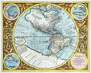
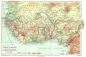
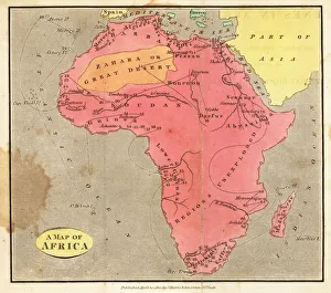
We offer a wide range of maps of Guinea Africa art prints that you can buy. These include vintage and modern maps, topographical and political maps, as well as satellite images of the country. You can choose from different sizes and formats such as framed or unframed prints, canvas wraps, or photographic prints. One popular map is the 1895 Map of French West Africa which shows Guinea in its colonial context. Another option is the colorful Political Map of Guinea which highlights major cities and geographical features such as rivers and mountains. For those interested in exploring specific regions within Guinea, there are detailed topographical maps available for purchase. Whether you're looking to decorate your home or office with unique artwork or seeking educational resources for students studying African geography, we have a variety of options to suit your needs.
+
How do I buy Maps of Guinea Africa art prints?
To buy Maps of Guinea Africa art prints, you can visit our online gallery. We offer a wide range of high-quality art prints that are perfect for decorating your home or office space. You can browse through our collection and select the print that catches your eye. Once you have selected the print, you can choose the size and framing options according to your preference. The website offers various framing options such as black, white, oak, and walnut frames. After selecting all the necessary details, add it to your cart and proceed with checkout. You will be required to provide shipping information along with payment details. Media Storehouse ensures that all their products are printed on premium quality paper using state-of-the-art printing technology. Their team also provides excellent customer service in case of any queries or concerns regarding your purchase. Buying Maps of Guinea Africa art prints from Media Storehouse is an easy process that guarantees high-quality artwork delivered right at your doorstep.
+
How much do Maps of Guinea Africa art prints cost?
We offer a wide range of Maps of Guinea Africa art prints at various price points to suit different budgets. Our collection includes vintage and contemporary maps that showcase the country's geography, topography, and political boundaries. The cost of each print depends on several factors such as the size, framing options, and printing materials chosen by the customer. We strive to provide high-quality prints that are affordable without compromising on their aesthetic value or durability. Our Maps of Guinea Africa art prints make excellent gifts for history buffs, travelers, or anyone who appreciates fine art with an educational twist. You can browse our online catalog to find the perfect print for their home or office decor needs while enjoying a hassle-free shopping experience with us.
+
How will my Maps of Guinea Africa art prints be delivered to me?
We take great care in delivering your Maps of Guinea Africa art prints to you. We use high-quality packaging materials to ensure that your artwork arrives in perfect condition. Your print will be carefully rolled and placed inside a sturdy cardboard tube for protection during transit. We work with trusted delivery partners who offer reliable and efficient shipping services. Once your order has been processed, you will receive a tracking number so that you can monitor the progress of your delivery online. We understand how important it is to receive your artwork promptly, which is why we strive to dispatch all orders as quickly as possible. However, please note that delivery times may vary depending on your location and the shipping method selected at checkout. Rest assured that when you purchase Maps of Guinea Africa art prints from Media Storehouse, we will do everything we can to ensure they arrive safely and securely at their destination.